- Submitted by
- AvCan Northwest
- Observations date
- Wednesday, February 26, 2025
- Location
- 54.645200° N 127.624900° W
- Reporting on
- Snow conditions
%2F-127.6249%2C54.6452%2C8%2C0%2C0%2F1026x200%3Faccess_token%3Dpk.eyJ1IjoiYXZhbGFuY2hlY2FuYWRhIiwiYSI6ImNqd2dvZmUxdzE4ZWg0M2tkaXpuNG95aTQifQ.pBLM87fE3sIxRJqJT7Bf7g&w=1200&q=75 "North facing naturals and deep 🤿 in the 🌲🌲🌲")
Quick
Avalanche
Snowpack
Weather
Incident
Information
- Avalanche conditions
- Slab avalanches today or yesterday.
- 30cm + of new snow, or significant drifting, or rain in the last 48 hours.
Comments
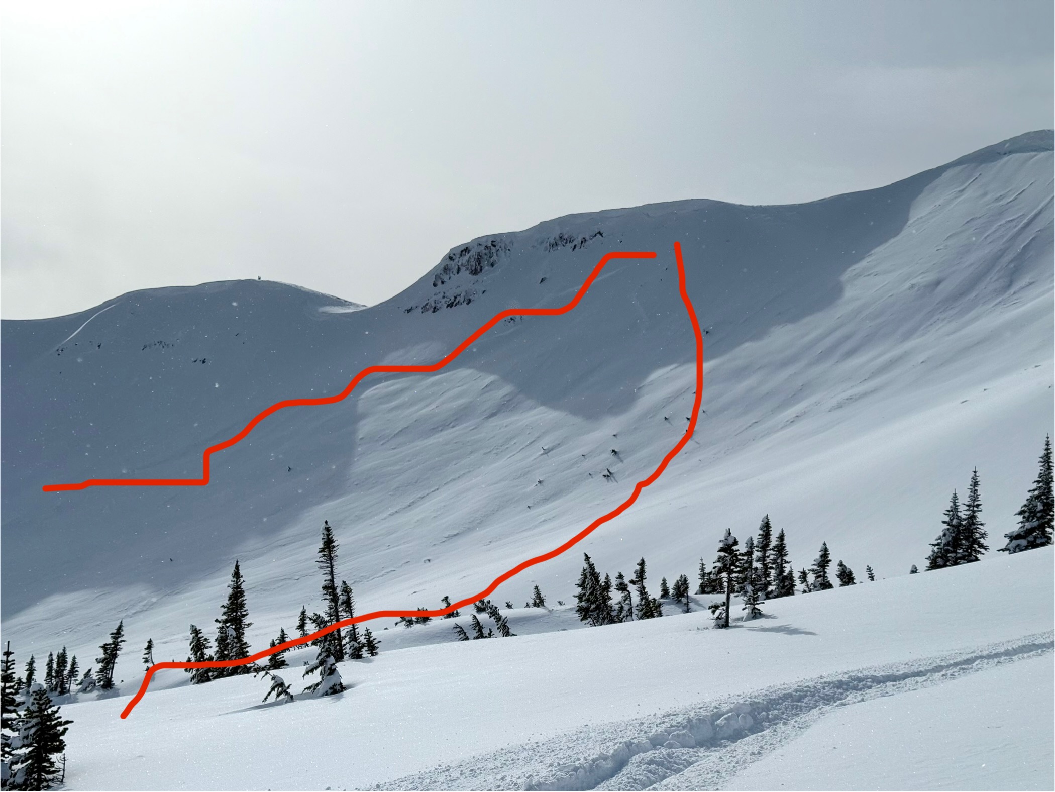
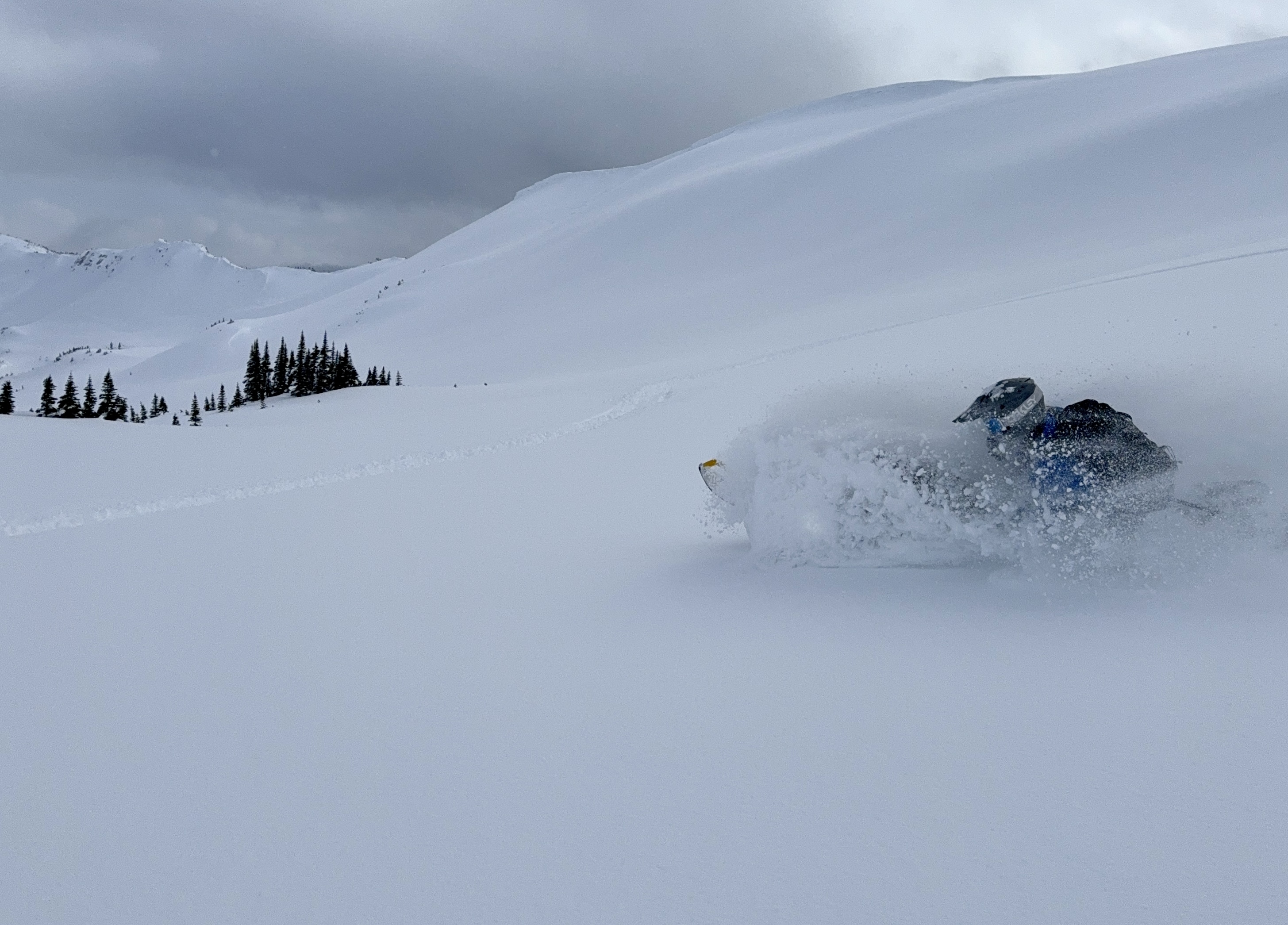
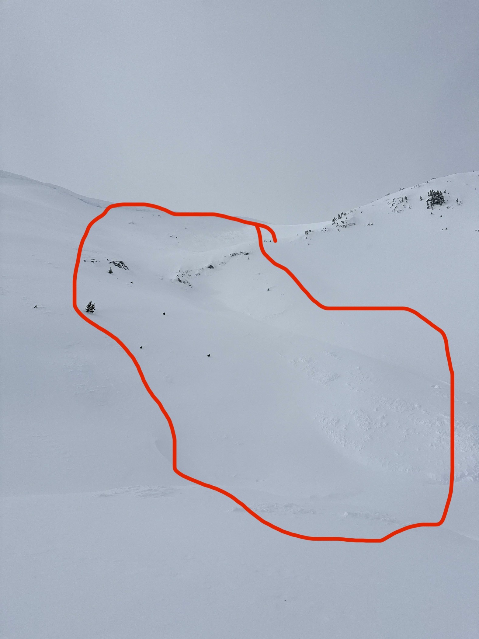
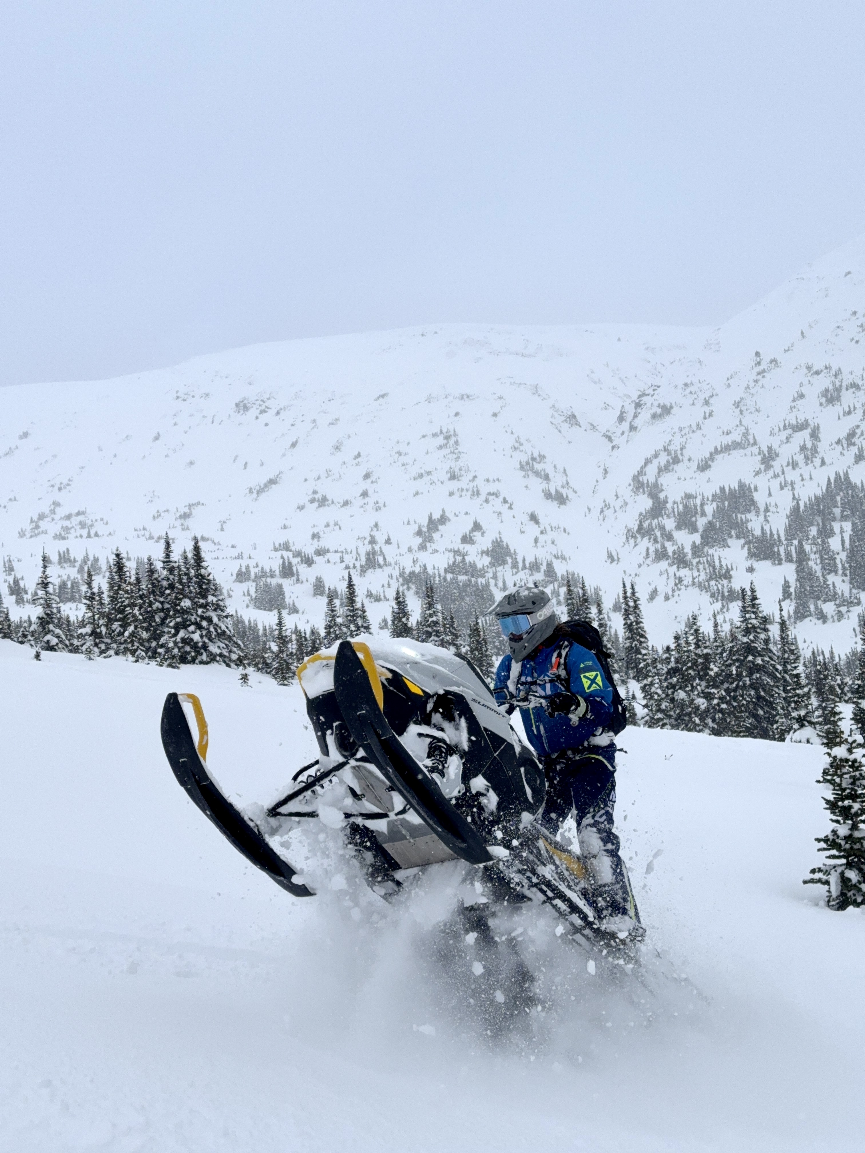
It’s DEEP in protected areas near treeline, but watch out for steep north facing features in the alpine, we saw three different large avalanches in that terrain that likely ran towards the end of the storm. There’s 20 to 60 cm of new snow on the old surface, and the warm and windy storm has formed the new snow into a slab, especially in wind exposed terrain. That being said, the warm storm snow is bonding better than we anticipated in the Sinclair area. We’ll continue to investigate the bond between the facets formed during the drought, and the recent storm snow, as we conduct our field work this week. Stay tuned.