- Submitted by
- blount06
- Observations date
- Thursday, March 16, 2023 at 16:00
- Location
- 49.190299° N 125.283913° W
- Reporting on
- Snow conditions
%2F-125.28391339463698%2C49.190299388080774%2C8%2C0%2C0%2F1026x200%3Faccess_token%3Dpk.eyJ1IjoiYXZhbGFuY2hlY2FuYWRhIiwiYSI6ImNqd2dvZmUxdzE4ZWg0M2tkaXpuNG95aTQifQ.pBLM87fE3sIxRJqJT7Bf7g&w=1200&q=75 "There be sharks in them there hills")
Snow conditions
- Riding quality was:
- Terrible
- Snow conditions were:
- Crusty
- Hard
- Heavy
- Powder
- Wet
- Wind affected
- We rode:
- Alpine slopes
- Mellow slopes
- Open trees
- We stayed away from:
- Steep slopes
Information
- The day was:
- Cloudy
- Foggy
- Sunny
- Warm
- Wet
- Windy
- Avalanche conditions
- 30cm + of new snow, or significant drifting, or rain in the last 48 hours.
- Whumpfing or drum-like sounds or shooting cracks.
- Rapid temperature rise to near or above 0°C or wet surface snow.
Comments
The snow pack was a mixed bag from the 2nd to the 4th. The menu included skinning and poking around the new snow pack... There may have been a turn or two on skinned split... that's how you know it's good.
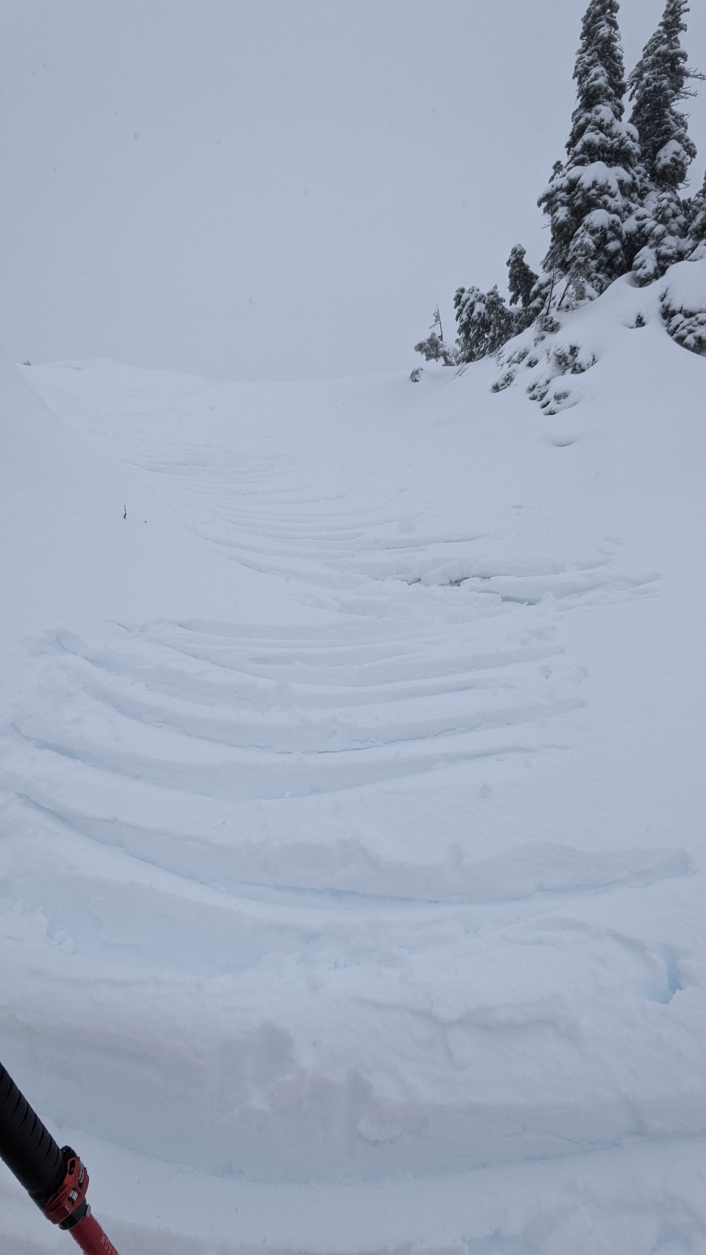
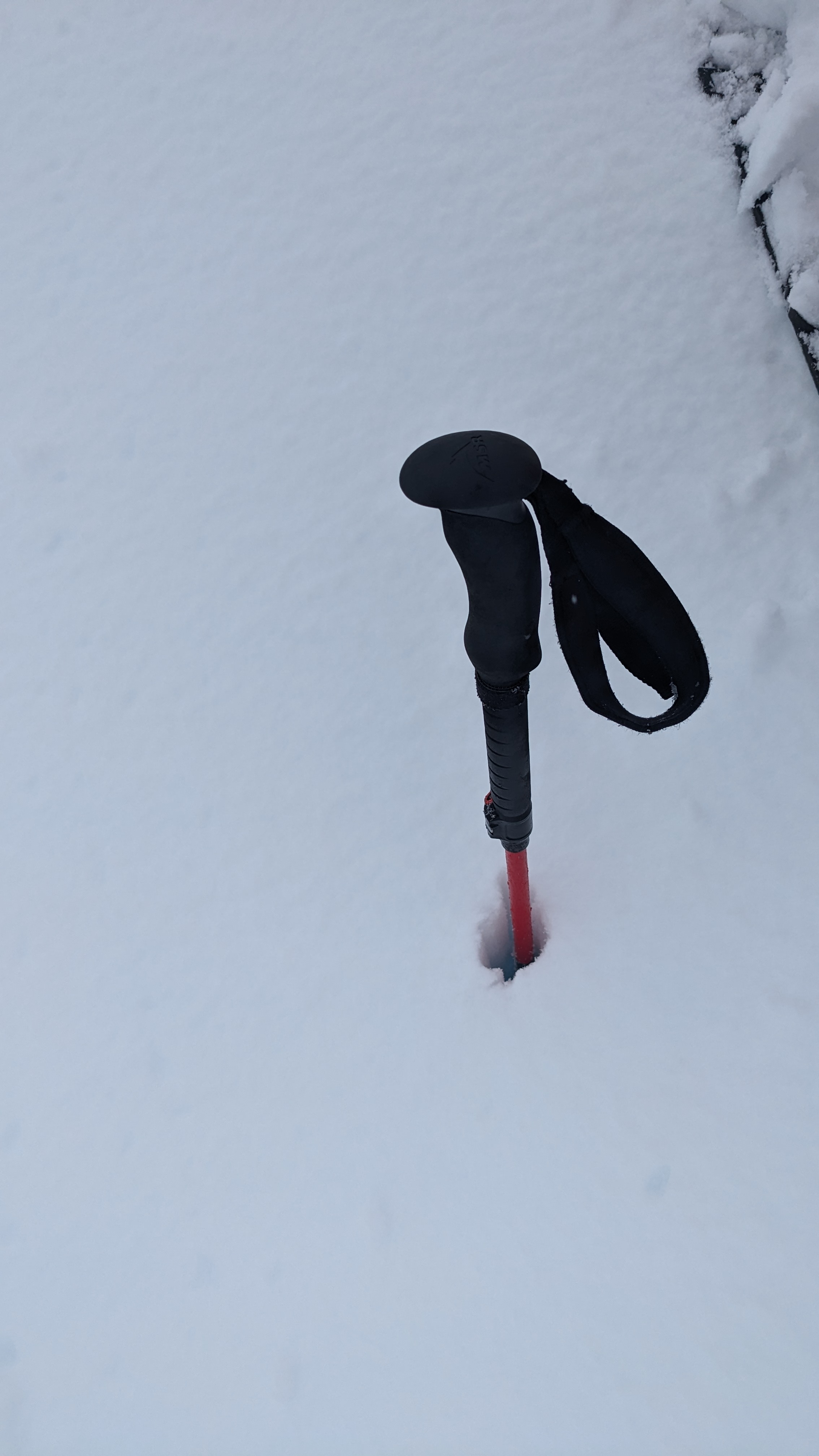
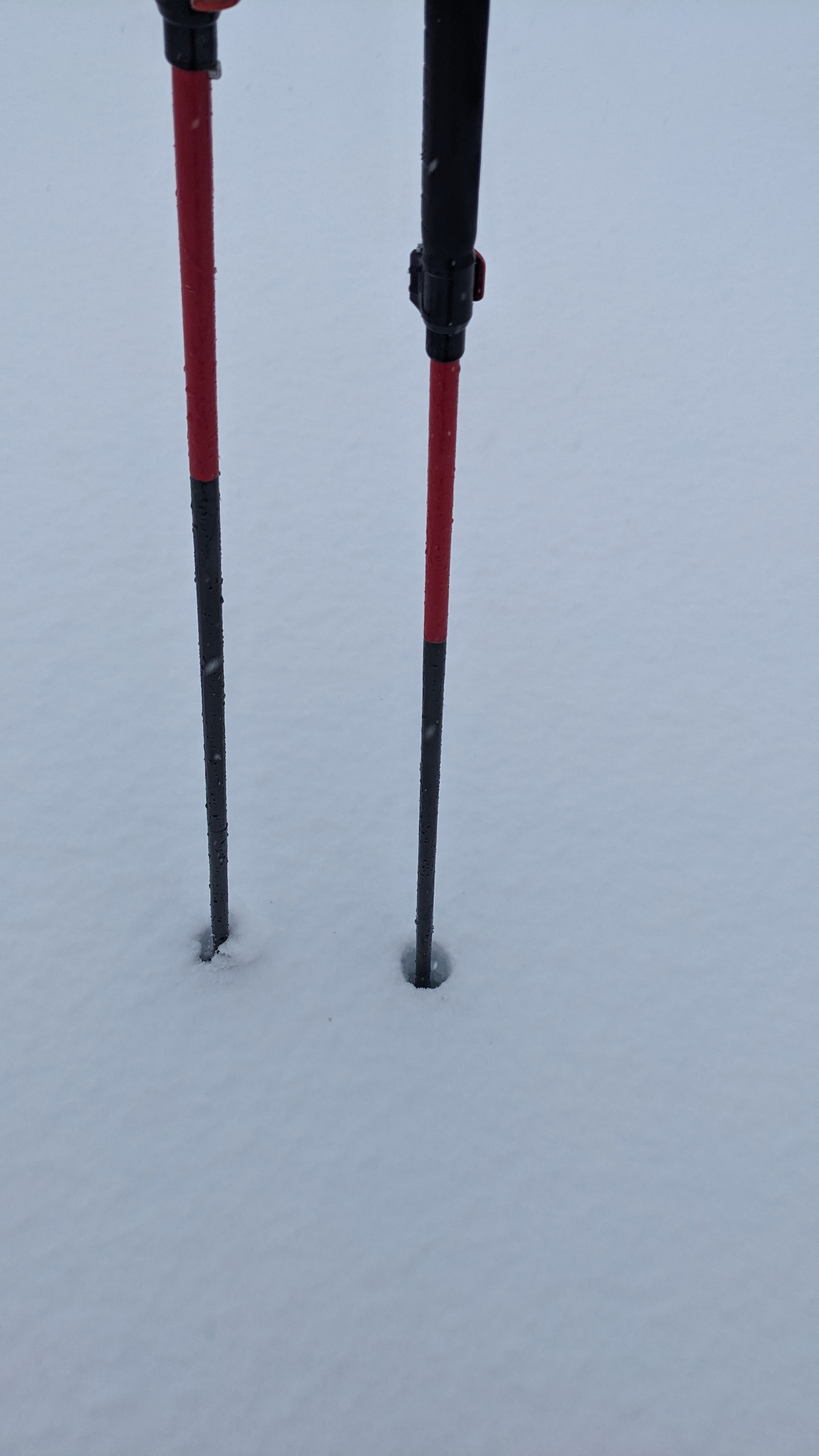
We were mostly on the southern aspect, with deposit from the prior 48hrs varying from 10-100cm depending on terrain and wind deposits. Snow pack varied drastically with fully consolidated snow pack under 5-10cm of new to 100cm penetration all the way to ground in completely unconsolidated wind deposits.
Mid day on the 3rd saw wet loose from rocky features 50+ degrees and small sludgy reactions from the top 10cm of the new snow on the consolidated crust.
The morning of the 4th saw a 2-3mm ice crust forming on most new snow. Snow line begins around 900-1000m
Throughout the 3rd and into morning of the 4th when snow stopped, freezing levels were up and down, changing from snow to wet snow to snow/rain, and back in a 24 hr period.