- Submitted by
- jena.greaser
- Observations date
- Sunday, February 23, 2025 at 20:00
- Location
- 49.435530° N 115.109460° W
- Reporting on
- Snow conditions
%2F-115.10946%2C49.43553%2C8%2C0%2C0%2F1026x200%3Faccess_token%3Dpk.eyJ1IjoiYXZhbGFuY2hlY2FuYWRhIiwiYSI6ImNqd2dvZmUxdzE4ZWg0M2tkaXpuNG95aTQifQ.pBLM87fE3sIxRJqJT7Bf7g&w=1200&q=75 "AST 2 Pit - ST & PS column and EXT column test - WITH RESULTS!!!!")
Quick
Avalanche
Snowpack
Weather
Incident
Information
- Is this a point observation or a summary of your day?
- Point observation
- Elevation above sea level
- 1,750m
- Elevation band
- Treeline
- Aspect
- S
- SW
- Did you observe whumpfing?
- No
- Did you observe cracking?
- No
- Snowpack test result
- Easy
- Snowpack test fracture character
- Sudden (`pop` or `drop`)
- Snowpack test failure depth
- 35cm
- Surface conditions
- New snow
- Snowpack test failure layer crystal type
- Storm snow
Comments
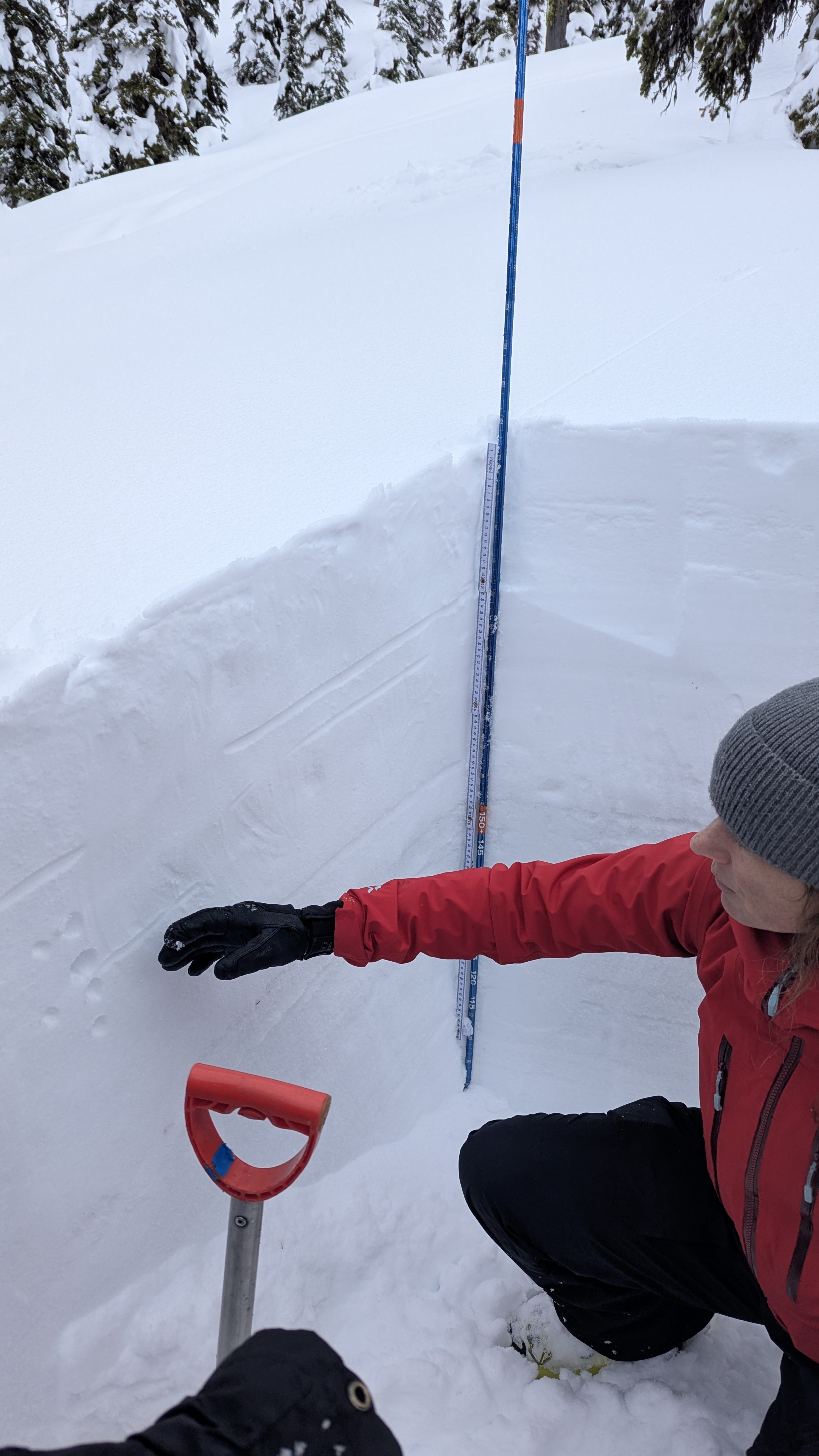
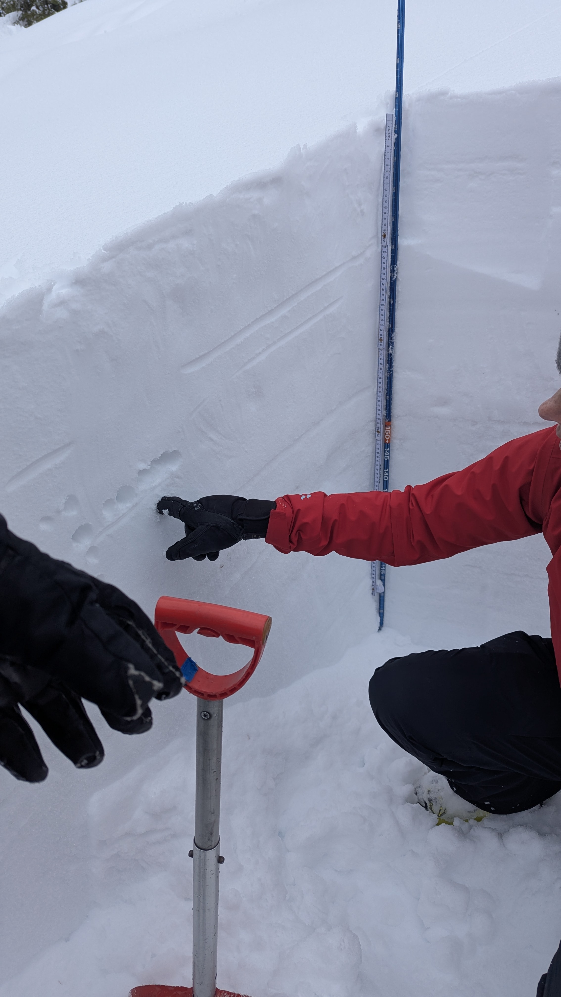
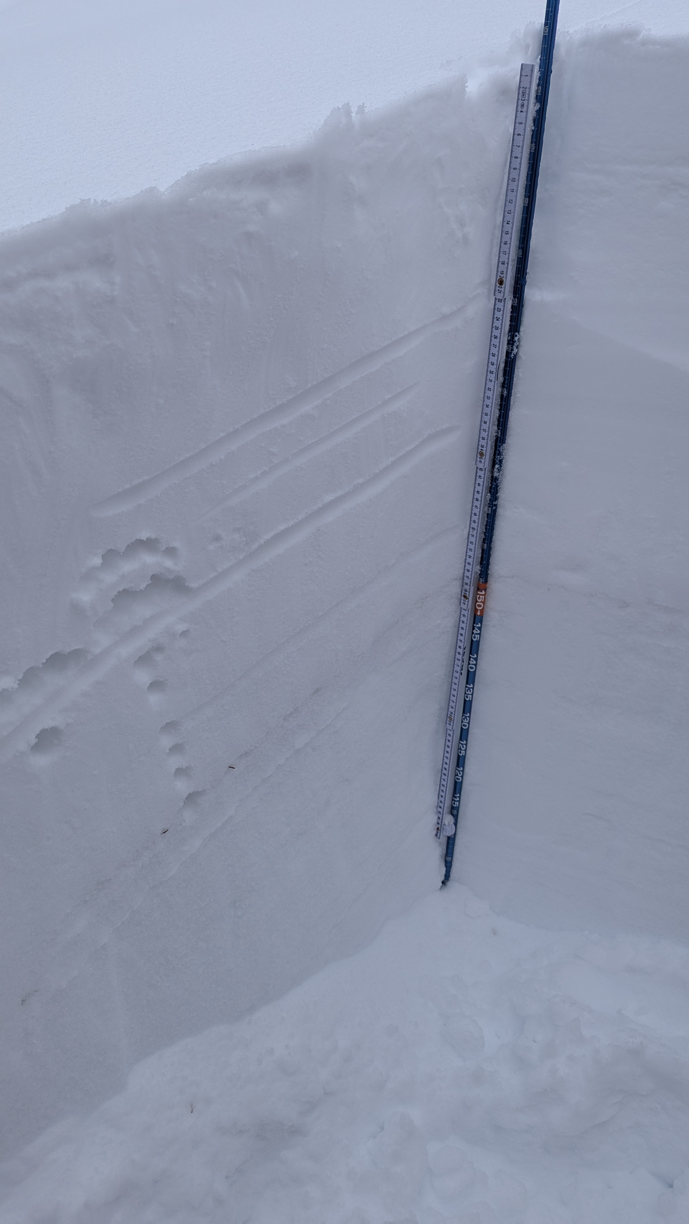
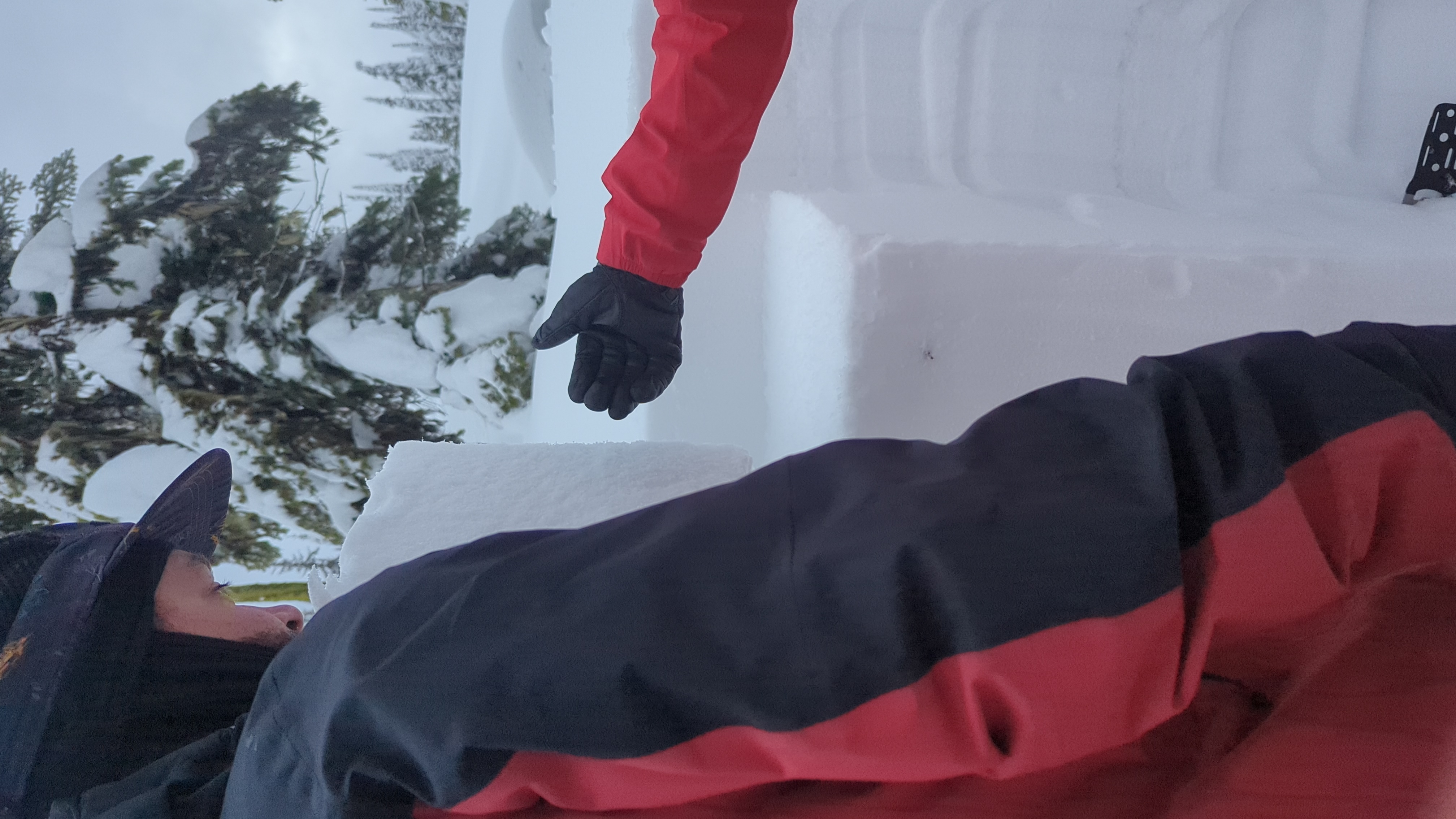
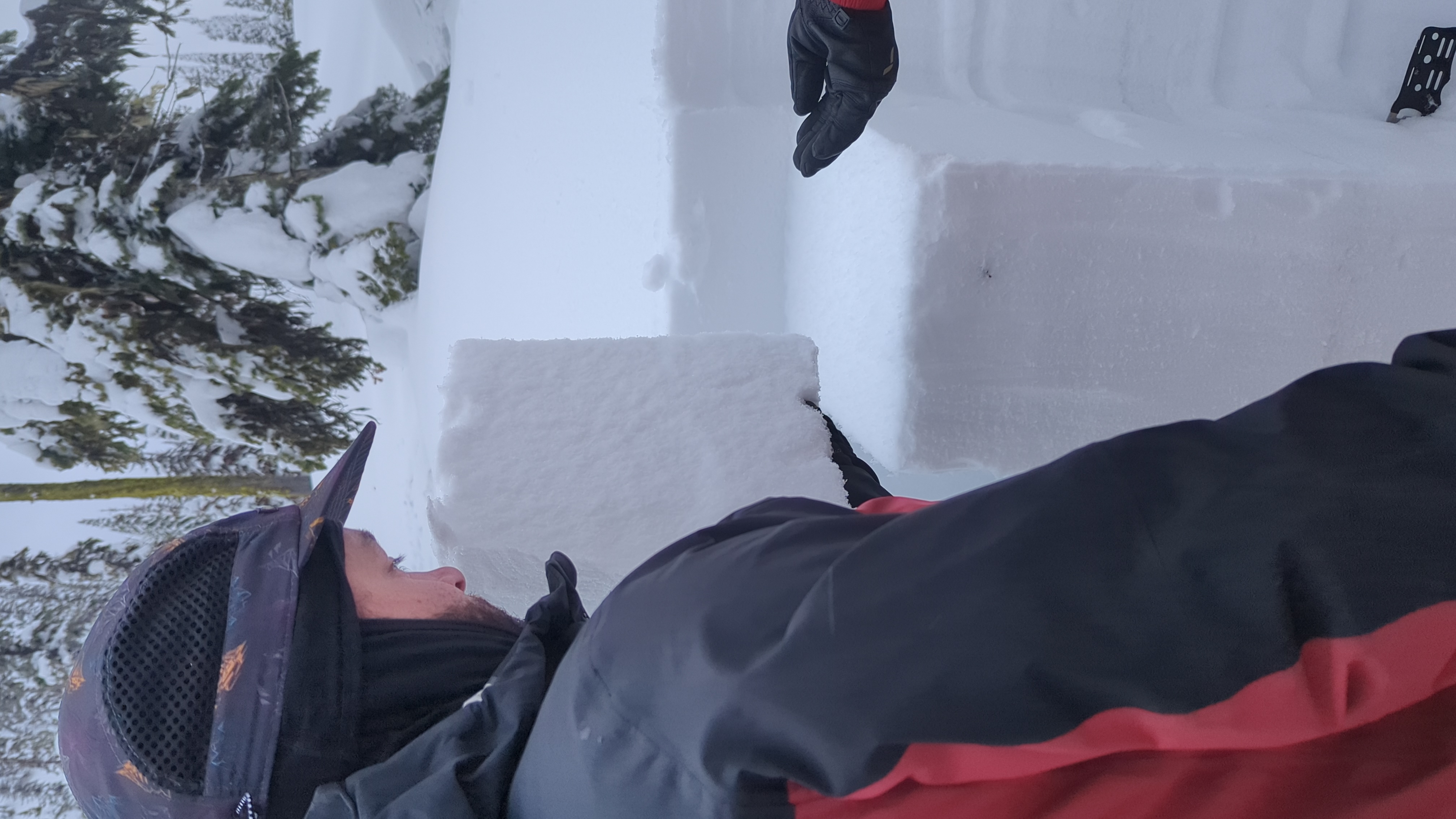
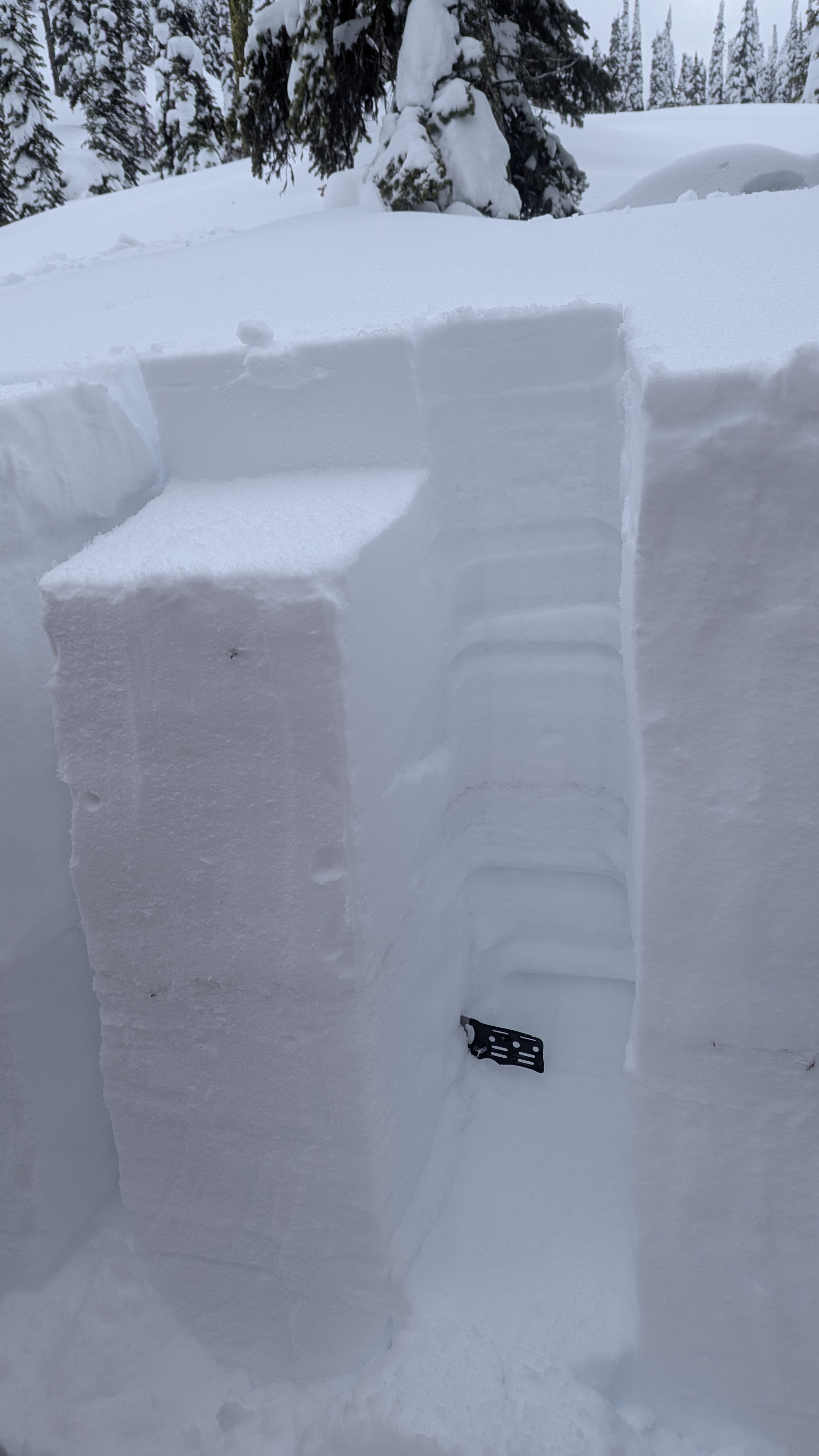
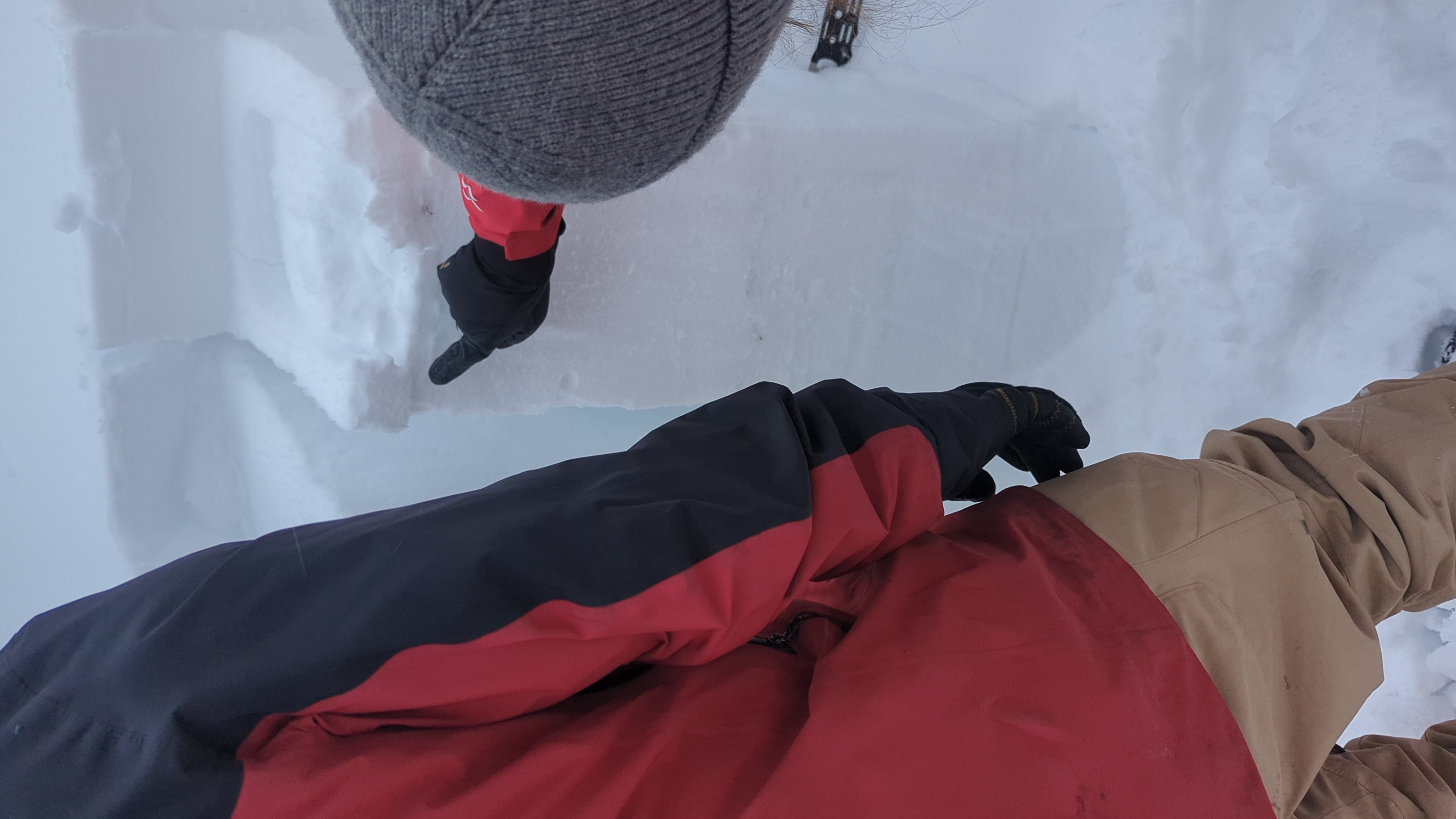
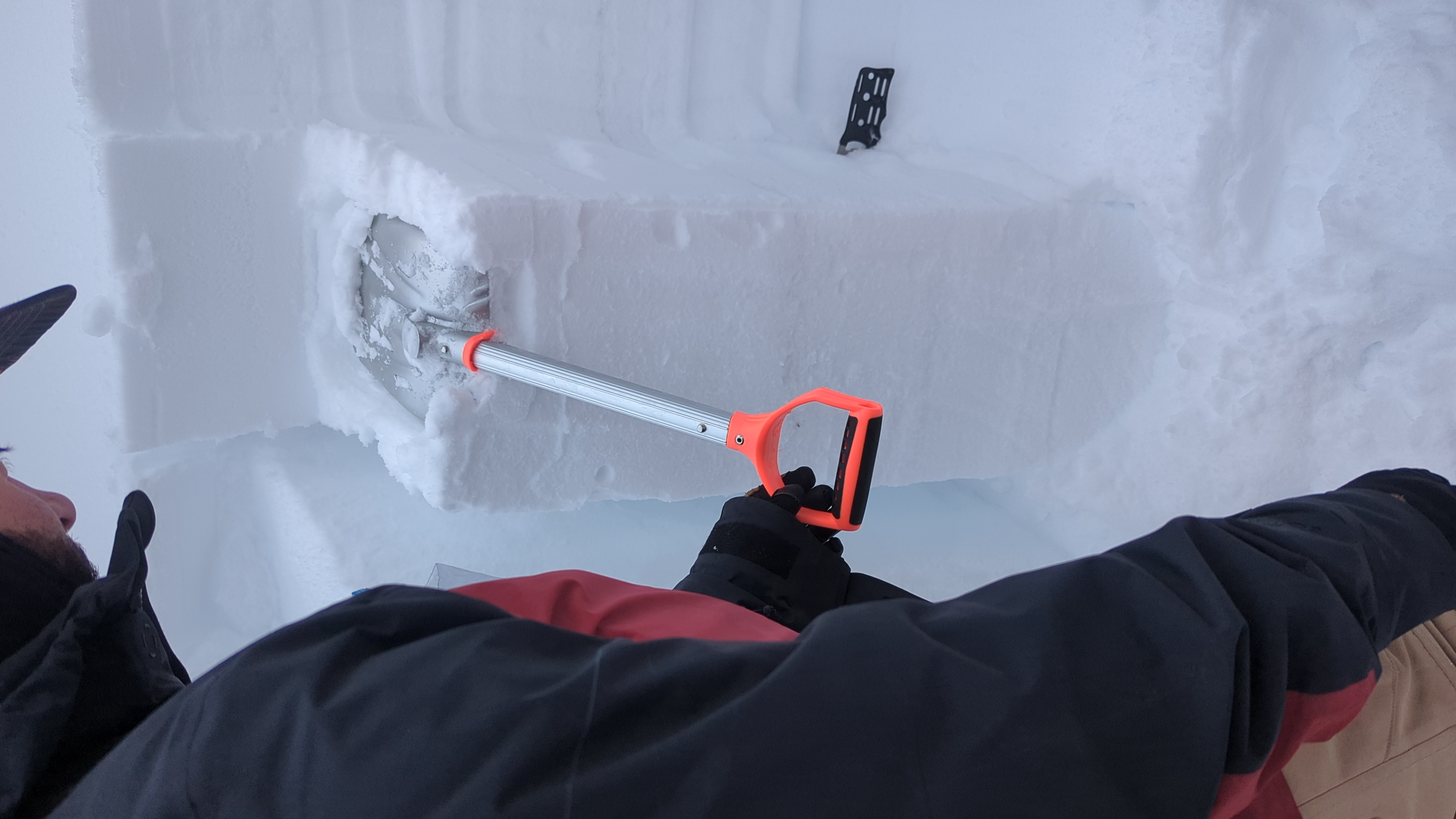
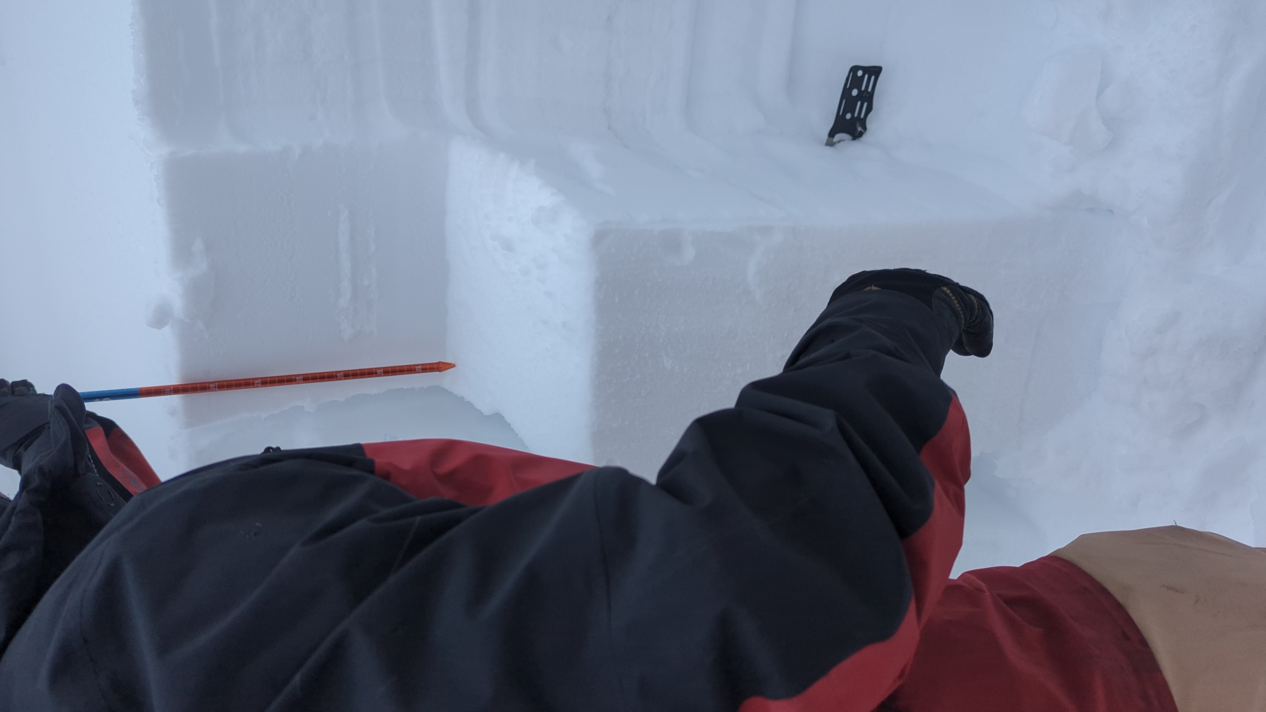
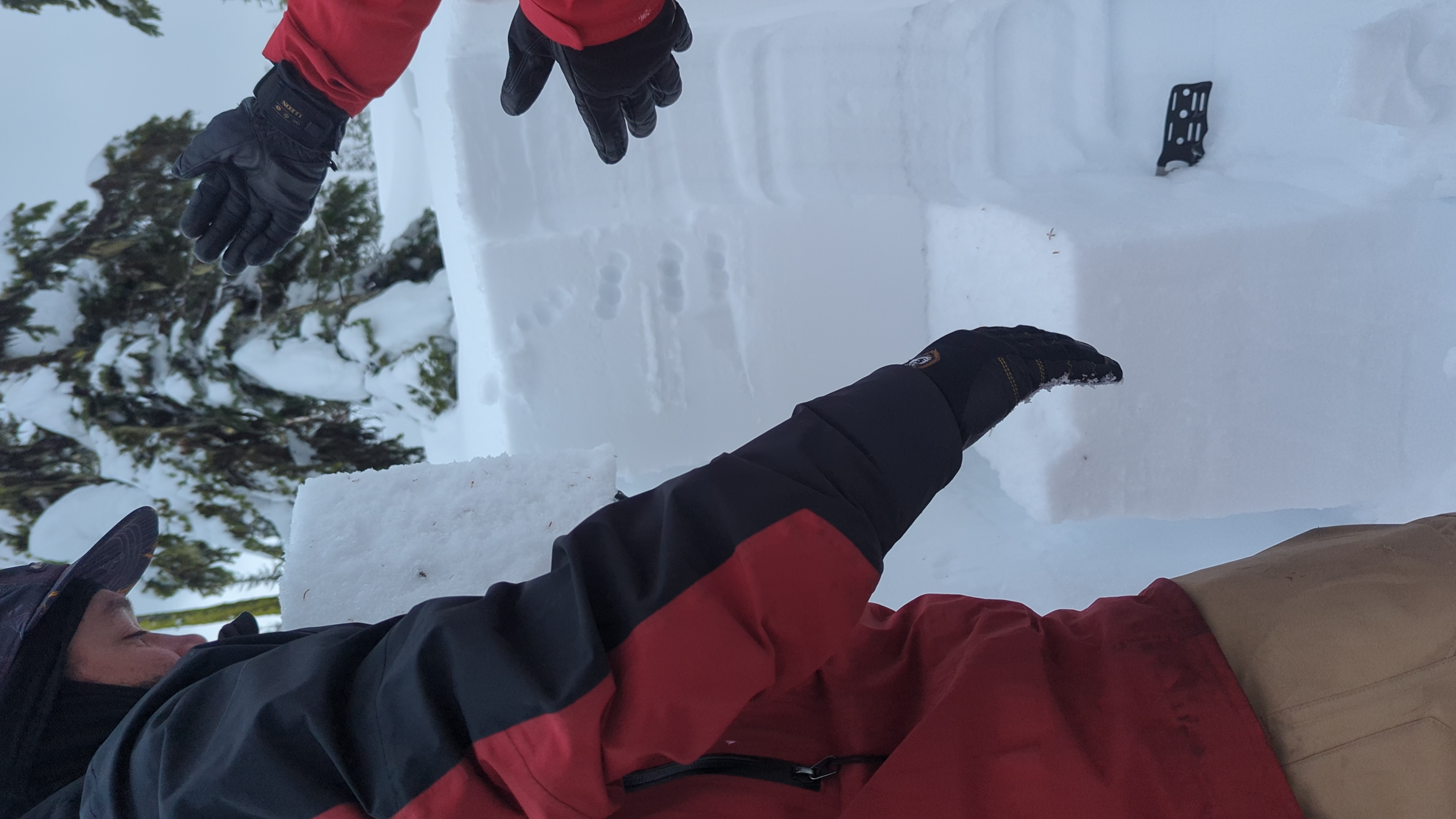
We dug a pit for our AST 2 on the edge of the ski boundary by Falling Star between Lost Boys and Mammoth Head Moose droppings - we did 3 column tests with the same result and 2 EXT's with the same result - We had the storm snow slab (ST) propogate and pop and the persistant slab (PS) drop down the January weak layer around 90cm deep. This is my first report for on a pit, so I appreciate any corrective criticism on how to better to this observation - I did not get a photo of the PS depth, but it was roughly 57cm from the ST - making a second report fot the PS