- Submitted by
- Junior_outdoorsman
- Observations date
- Friday, February 27, 2026 at 21:00
- Location
- 52.350433° N 117.391532° W
- Reporting on
- Snow conditions
%2F-117.39153166912767%2C52.350432736481906%2C8%2C0%2C0%2F1026x200%3Faccess_token%3Dpk.eyJ1IjoiYXZhbGFuY2hlY2FuYWRhIiwiYSI6ImNqd2dvZmUxdzE4ZWg0M2tkaXpuNG95aTQifQ.pBLM87fE3sIxRJqJT7Bf7g&w=1200&q=75 "Evening Nunatak")
Quick
Avalanche
Snowpack
Weather
Incident
Snow conditions
- Riding quality was:
- Terrible
- Snow conditions were:
- Deep powder
- Powder
- We rode:
- Alpine slopes
- Dense trees
- Open trees
- Steep slopes
- We stayed away from:
- Convex slopes
Information
- The day was:
- Stormy
- Avalanche conditions
- 30cm + of new snow, or significant drifting, or rain in the last 48 hours.
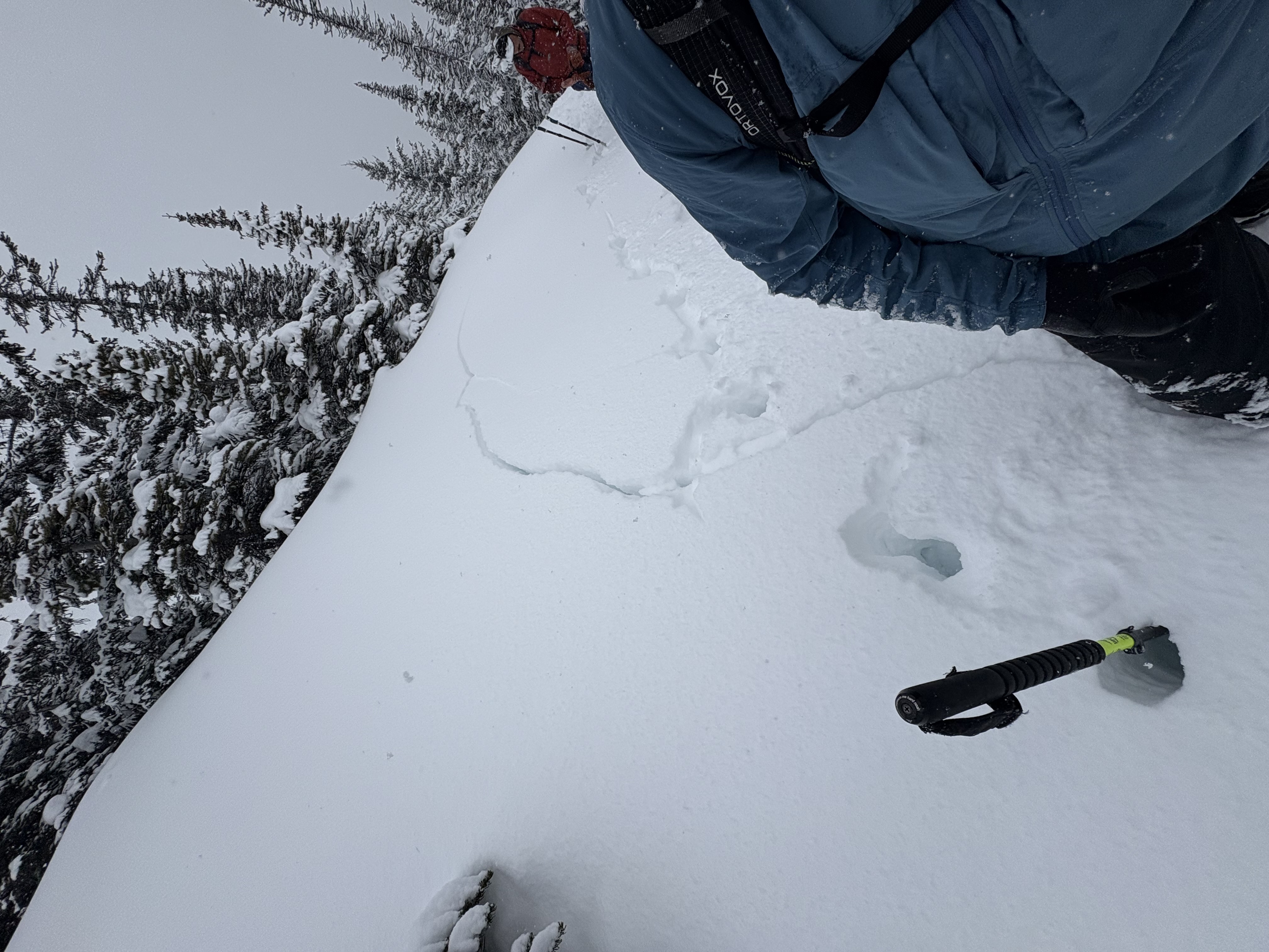
- Whumpfing or drum-like sounds or shooting cracks.
Comments
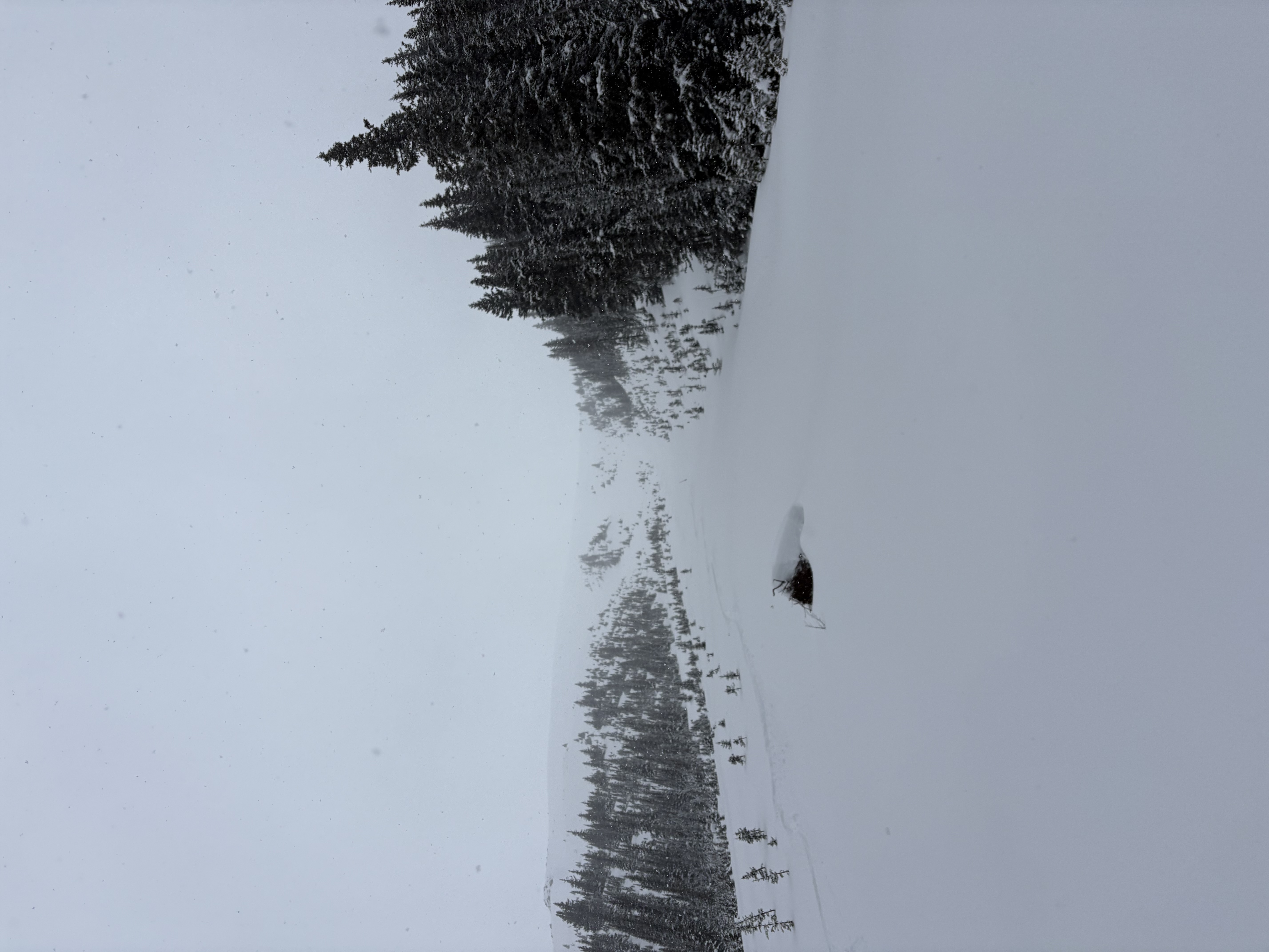
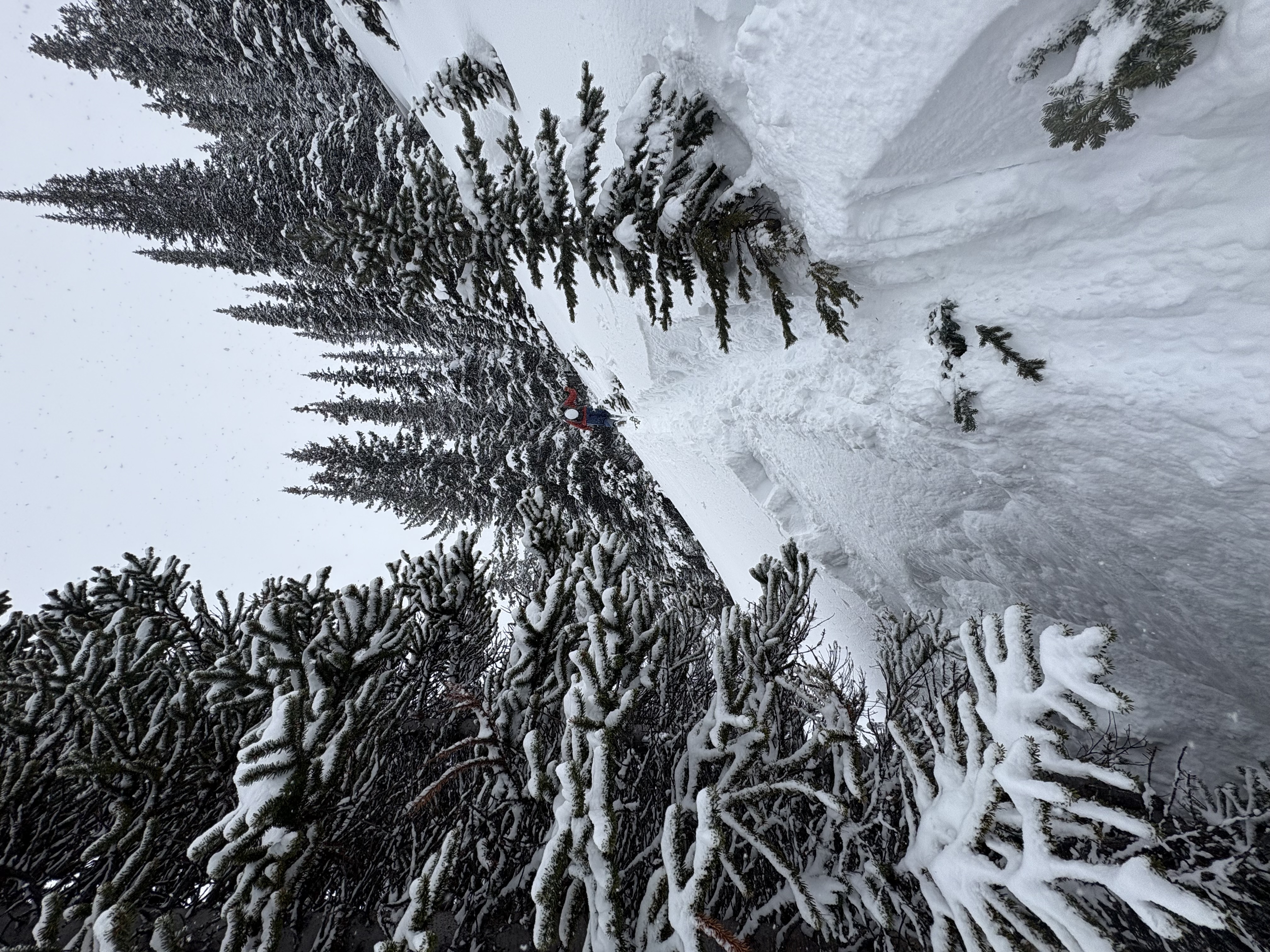
Significant drumming and whumpfing. Shooting cracks 20-40m during both uphill and downhill travel. Remote triggered a small cornice on the up track. Yesterday's Storm slab had very minimal energy, lots of sluffing on HN in steepish alpine terrain with not much propagation potential observed!
Feb 7th MFcr is visible and has begun to facet out... might be a bottomless snow pack soon?!
Take these observations with a thimble worth... the boy oh no forecasting range isn't huge but is big enough to see wide variabilities in coverage with isolated areas getting much more snow than others.
Make smart, travel choices as conditions are changing.