- Submitted by
- Yukon Field Team
- Observations date
- Wednesday, January 22, 2025 at 23:00
- Location
- 59.720390° N 135.095430° W
- Reporting on
- Snow conditions
/-135.09543,59.72039,8,0,0/1026x200?access_token=pk.eyJ1IjoiYXZhbGFuY2hlY2FuYWRhIiwiYSI6ImNqd2dvZmUxdzE4ZWg0M2tkaXpuNG95aTQifQ.pBLM87fE3sIxRJqJT7Bf7g "Bryant Lake and South Fraser Chutes")
Quick
Avalanche
Snowpack
Weather
Incident
Snow conditions
- Riding quality was:
- Good
- Snow conditions were:
- Powder
- Wind affected
- We rode:
- Dense trees
- Mellow slopes
- Open trees
- We stayed away from:
- Alpine slopes
- Convex slopes
- Steep slopes
Information
- The day was:
- Cloudy
- Sunny
- Windy
Comments
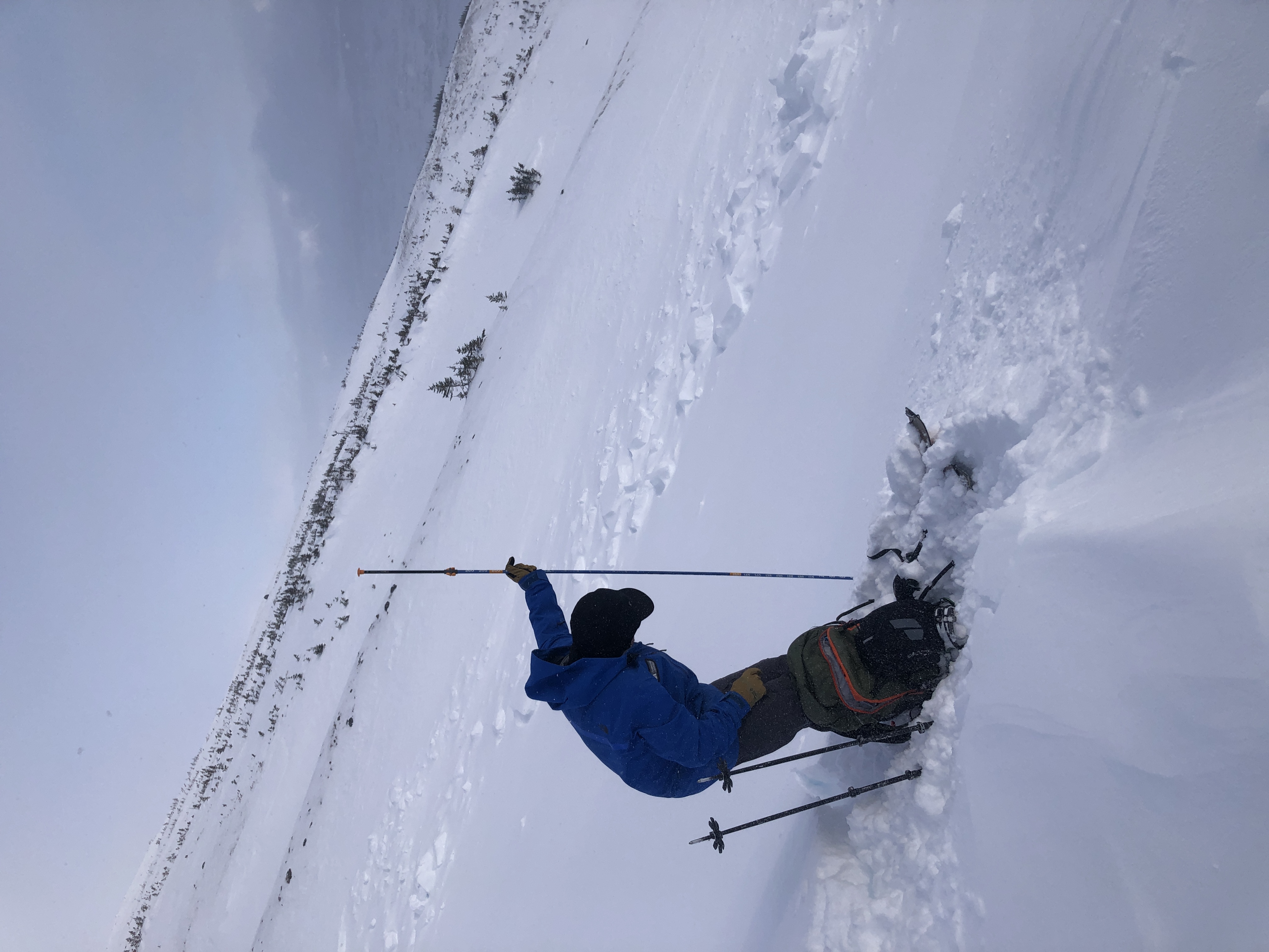
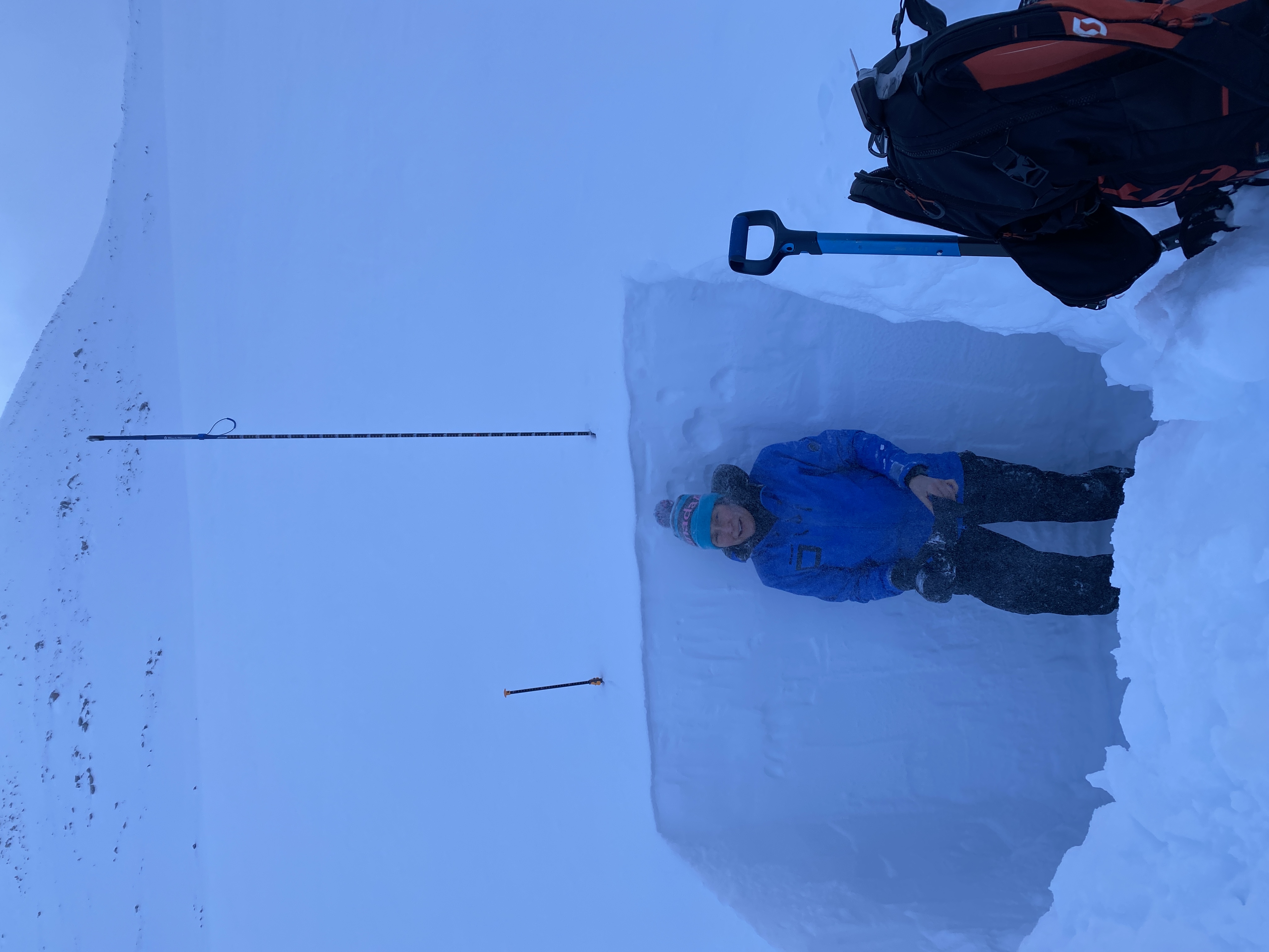
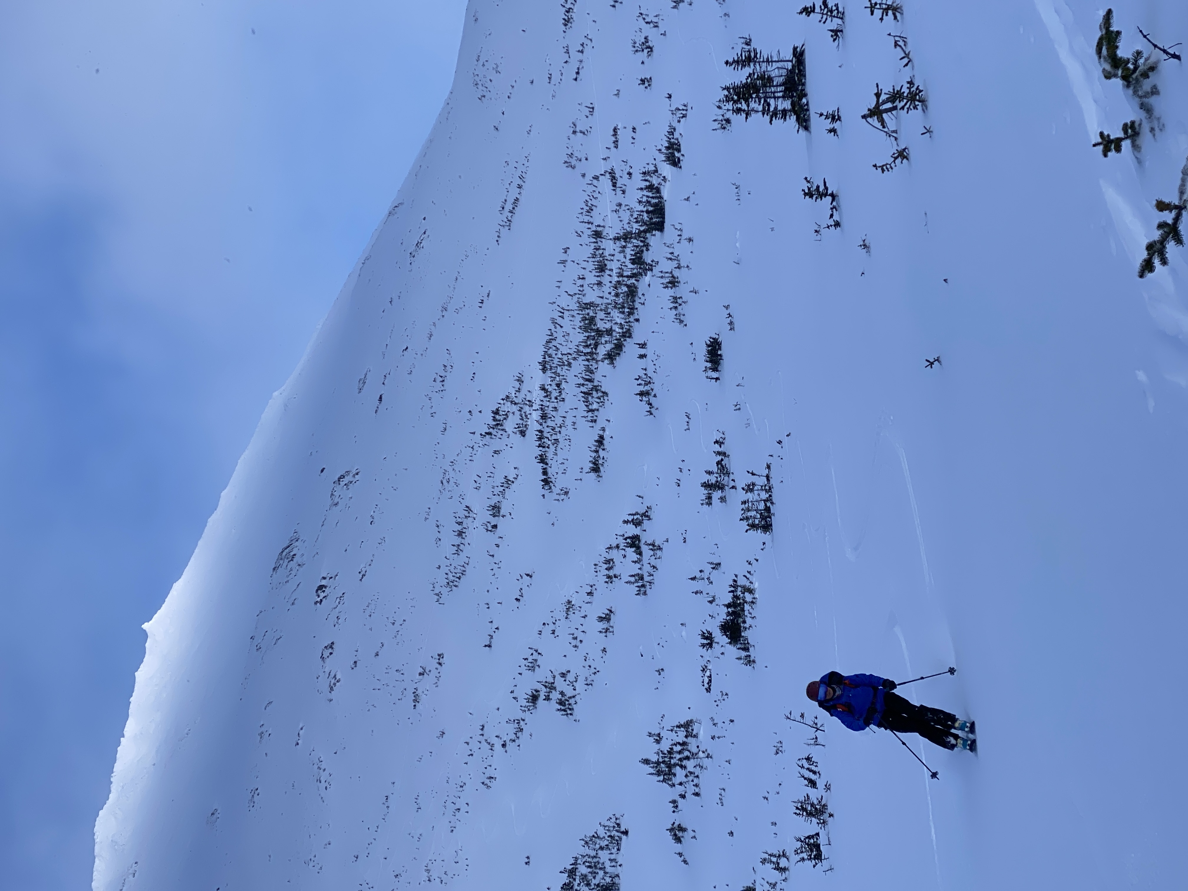
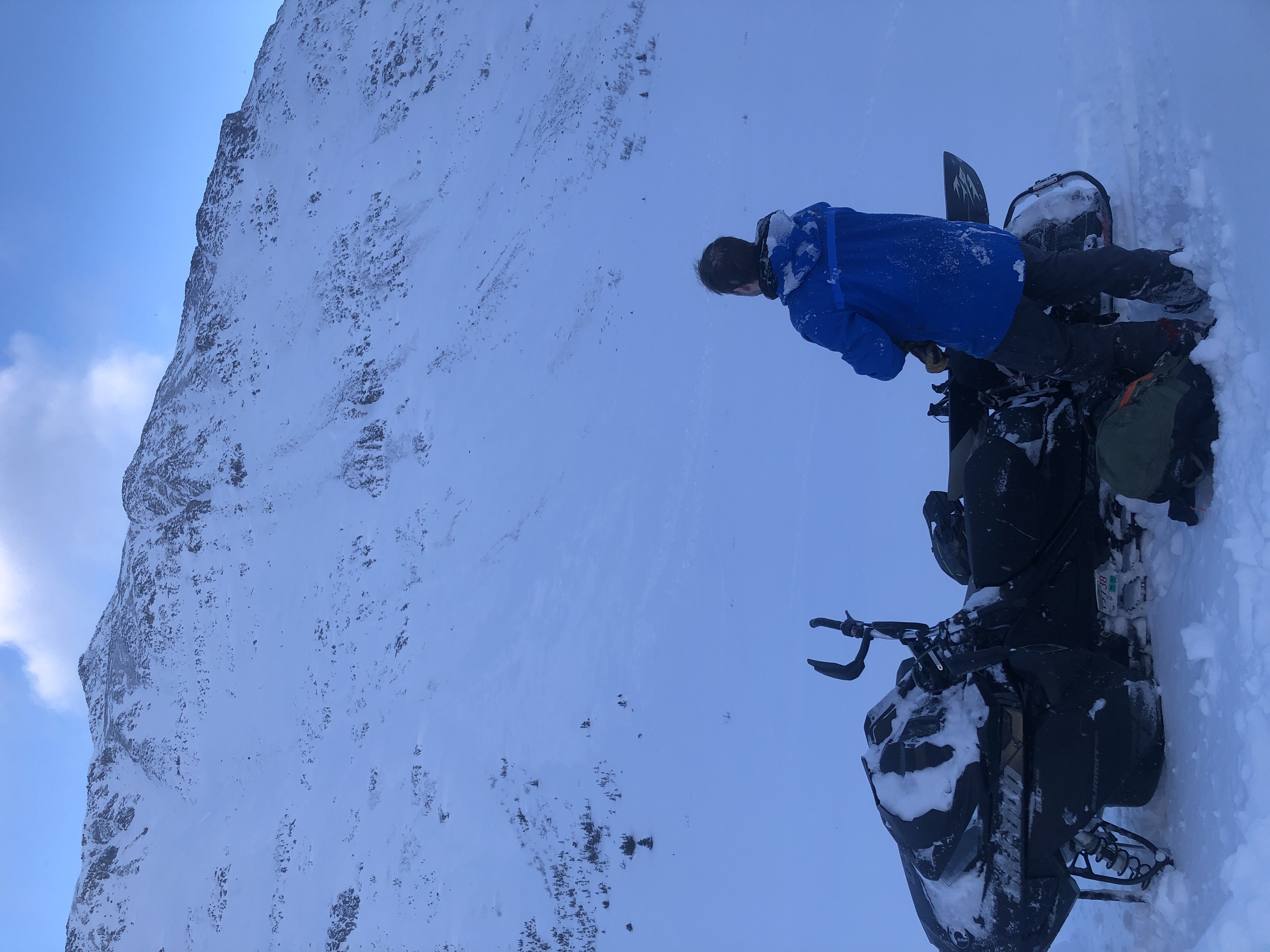
After de-riming the Summit Creek weather station, we skied the south facing Fraser chutes above Bryant Lake. The snow is great out there with 10 cm of new snow over the last 24 hours. We did have the persistent weak layer in the back of our minds. We dug around for it in several areas, and in most locations it is greater than 1 meter below the surface of the snow, and likely becoming less responsive to human-sized triggers. We are still keeping a conservative/assessment mindset, and figure that in shallower wind scoured areas, this layer is closer to the surface and still reactive to human triggers. Cornices are forming on north-facing ridges from the moderate-strong south winds throughout last night and today, and we also gave these a lot of berth, as they are most reactive when freshly formed. It was a great day shredding mellow slopes and finding pockets of good snow!