- Submitted by
- thomas.s.lepine
- Observations date
- Wednesday, December 4, 2024 at 18:30
- Location
- 49.608816° N 123.603987° W
- Reporting on
- Snow conditions
%2F-123.60398708258901%2C49.60881576416551%2C8%2C0%2C0%2F1026x200%3Faccess_token%3Dpk.eyJ1IjoiYXZhbGFuY2hlY2FuYWRhIiwiYSI6ImNqd2dvZmUxdzE4ZWg0M2tkaXpuNG95aTQifQ.pBLM87fE3sIxRJqJT7Bf7g&w=1200&q=75 "Mount Steele snowpack report")
Quick
Avalanche
Snowpack
Weather
Incident
Information
- Is this a point observation or a summary of your day?
- Point observation
- Elevation above sea level
- 1,600m
- Elevation band
- Treeline
- Aspect
- NE
- Snowpack depth
- 120cm
- Did you observe whumpfing?
- No
- Did you observe cracking?
- No
- Foot penetration
- 20cm
- Ski penetration
- 5cm
- Snowpack test result
- Moderate
- Snowpack test fracture character
- Sudden (`pop` or `drop`)
- Snowpack test failure depth
- 45cm
- Surface conditions
- Crust
- Snowpack test failure layer crystal type
- Facets
Comments
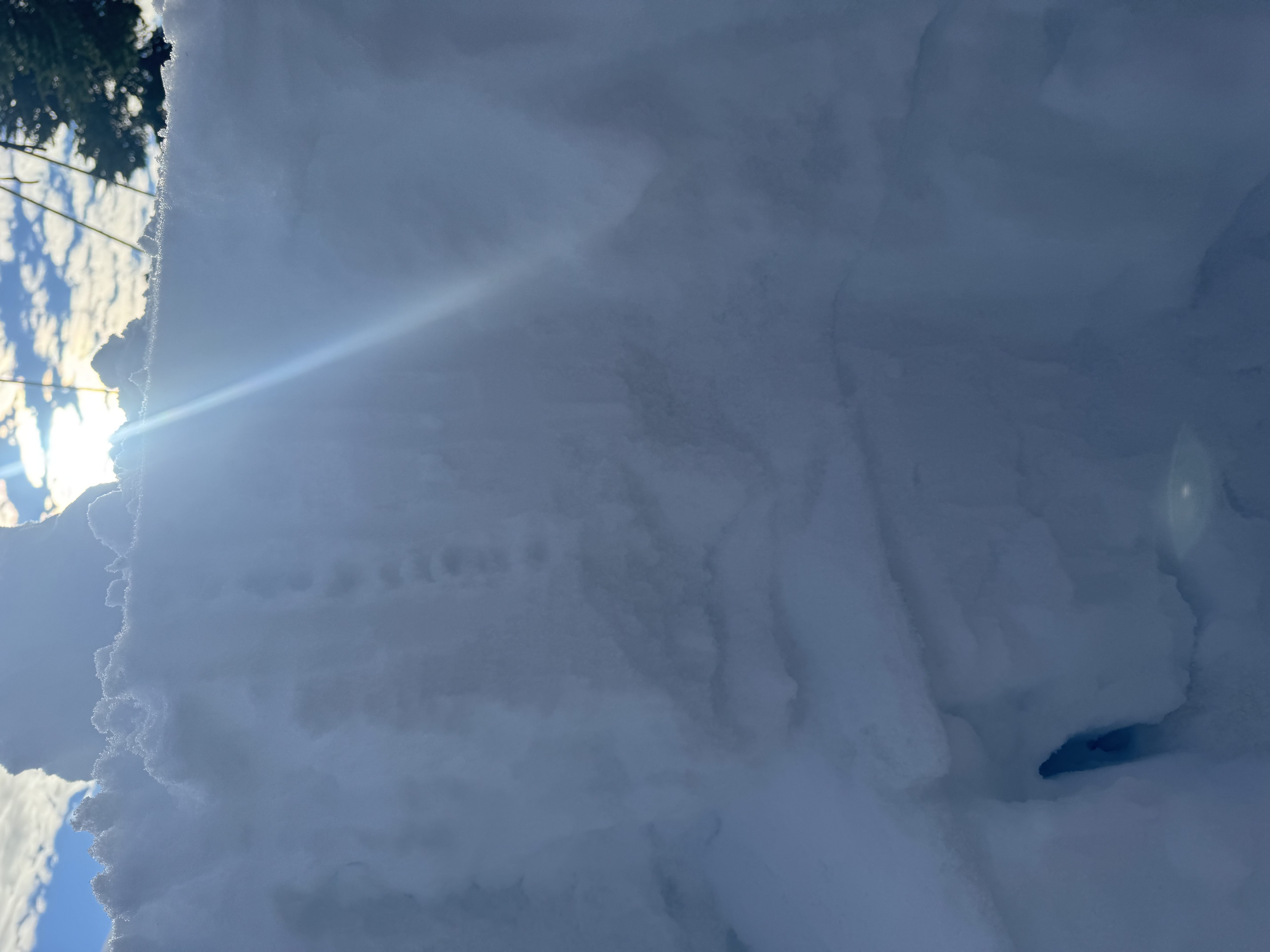
Dug a pit, NE slope at 1600m.
The top 40cm is compact, with freeze/thaw condensing the top layer.
At 40cm, snow changes to loose pellets for 5cm and is on top of a significant ice crust. This was the layer that failed in our tests.
Pellets are creating a weak layer problem on top of the ice crust.
Beneath the prominent ice crust at 45cm the pattern repeated with compact snow, ice crust at 70cm and 100cm and 105cm.
Bottomed out at 120cm.