- Submitted by
- christopher.eames94
- Observations date
- Monday, April 7, 2025 at 17:30
- Location
- 51.221536° N 117.473842° W
- Reporting on
- Snow conditions
/-117.47384234149419,51.22153610202653,8,0,0/1026x200?access_token=pk.eyJ1IjoiYXZhbGFuY2hlY2FuYWRhIiwiYSI6ImNqd2dvZmUxdzE4ZWg0M2tkaXpuNG95aTQifQ.pBLM87fE3sIxRJqJT7Bf7g "Wet and gross")
Quick
Avalanche
Snowpack
Weather
Incident
Information
- Avalanche date/time
- Monday, April 7, 2025 at 17:30
- Estimated occurrence time of avalanche
- Less than 12 hours ago
- Number of avalanches in this report
- 2 to 5
- The size of avalanche
- 1.5
- Slab thickness
- 10cm
- Avalanche Character
- Loose wet
- Trigger type
- Skier
- Trigger subtype
- Intentional
- Start zone aspect
- NE
- Start zone elevation band
- Treeline
- Start zone elevation
- 1,800m
- Start zone incline
- 35°
- Runout zone elevation
- 1,700m
- Crust near weak layer
- Yes
- Wind exposure
- No wind exposure
- Vegetation cover
- Sparse trees or gladed slope
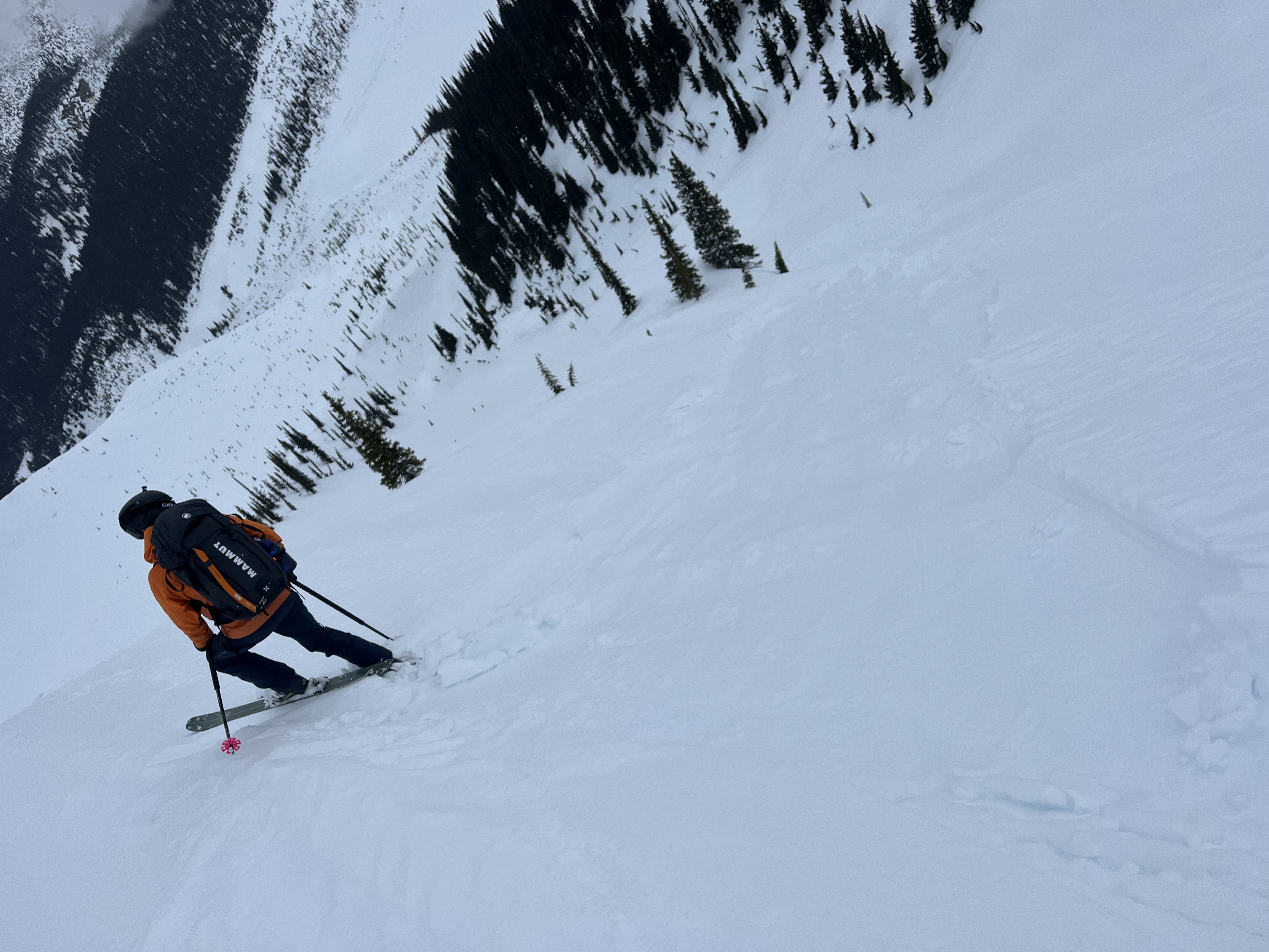
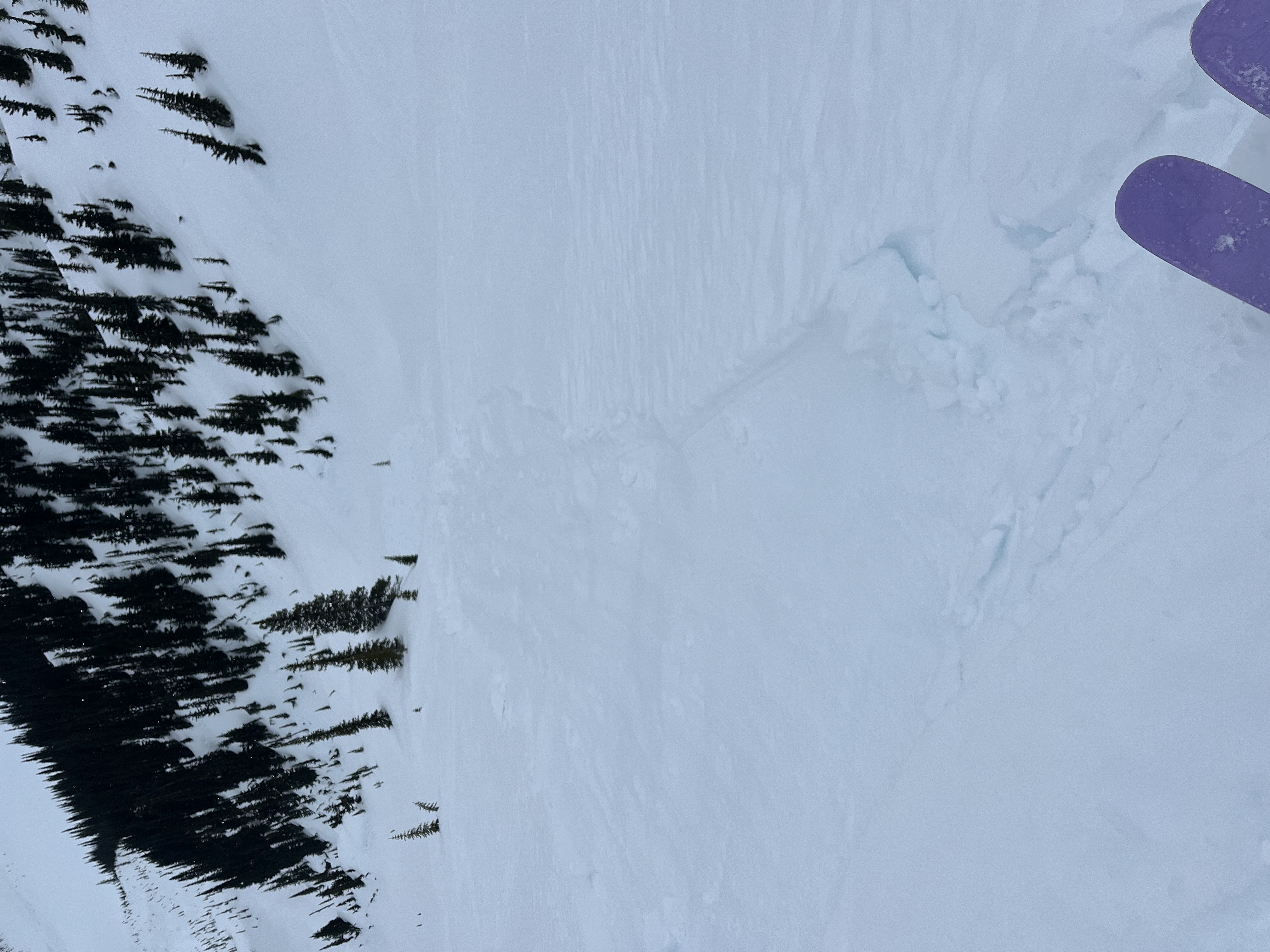
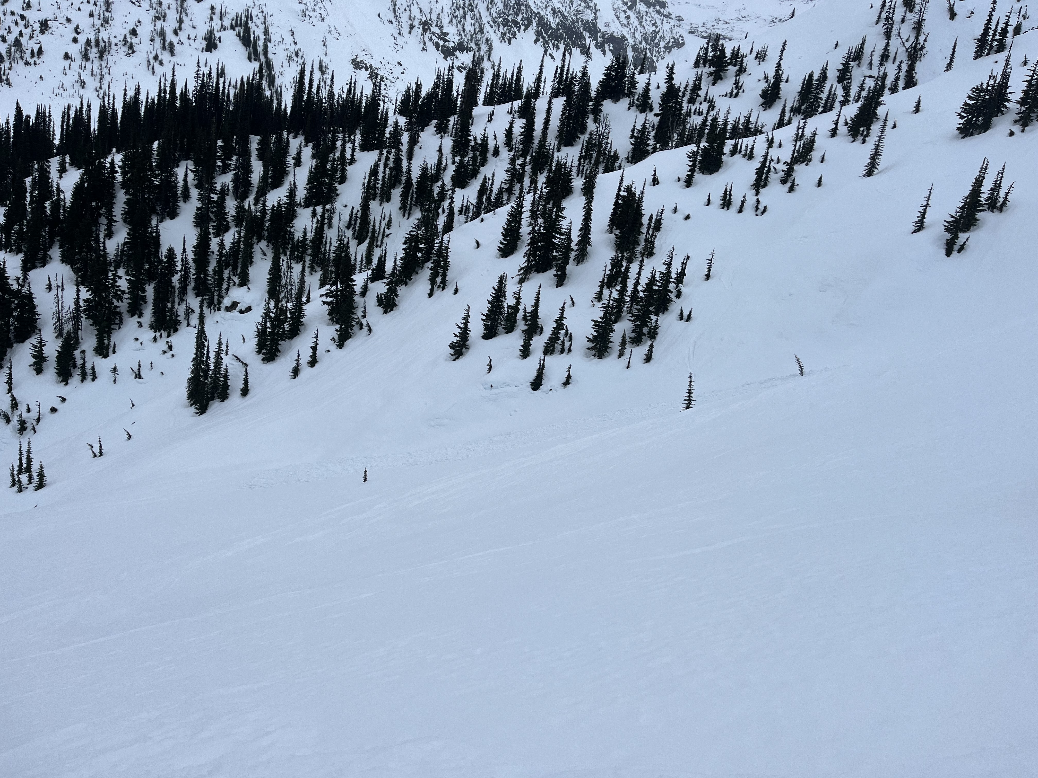
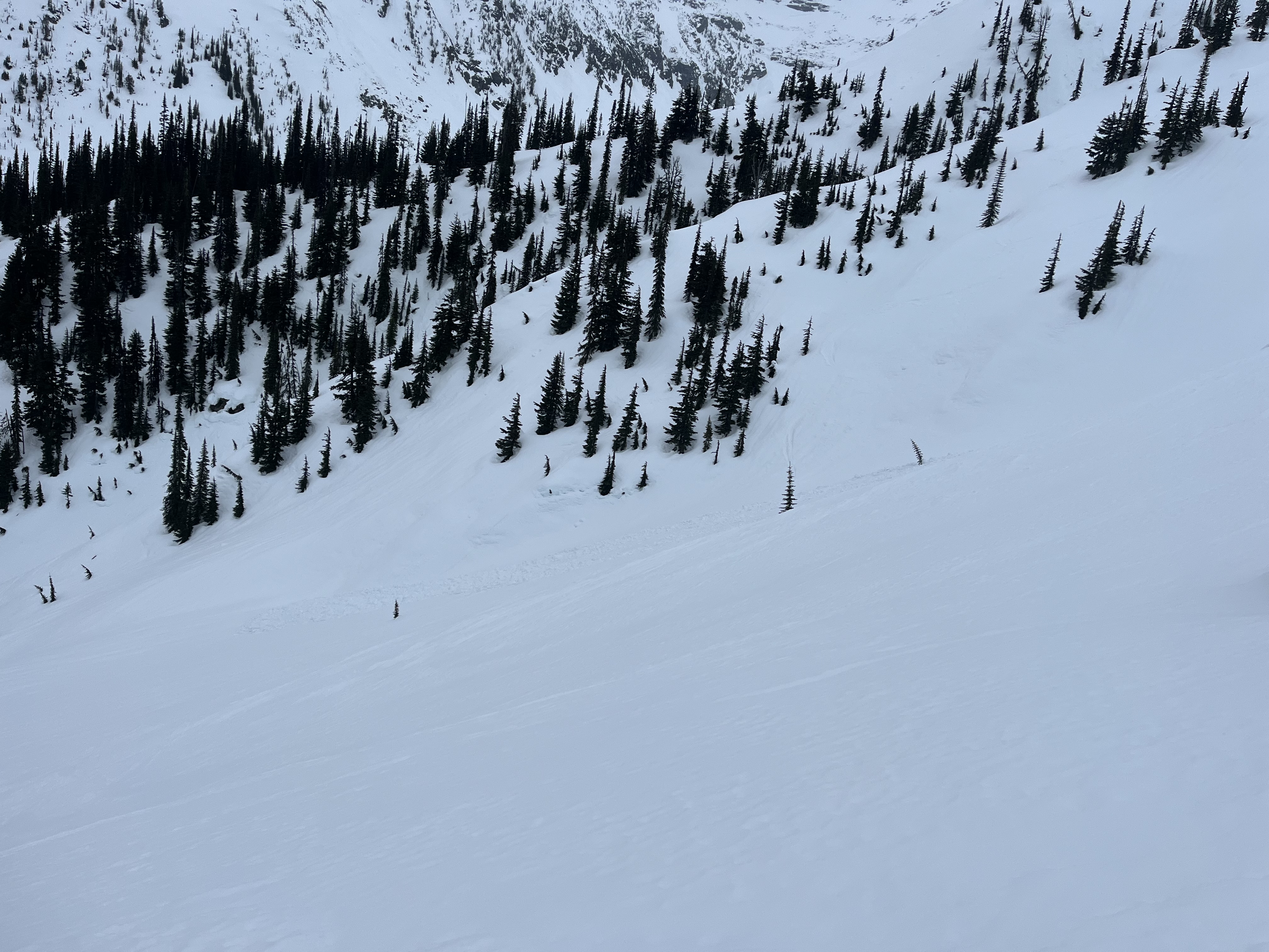
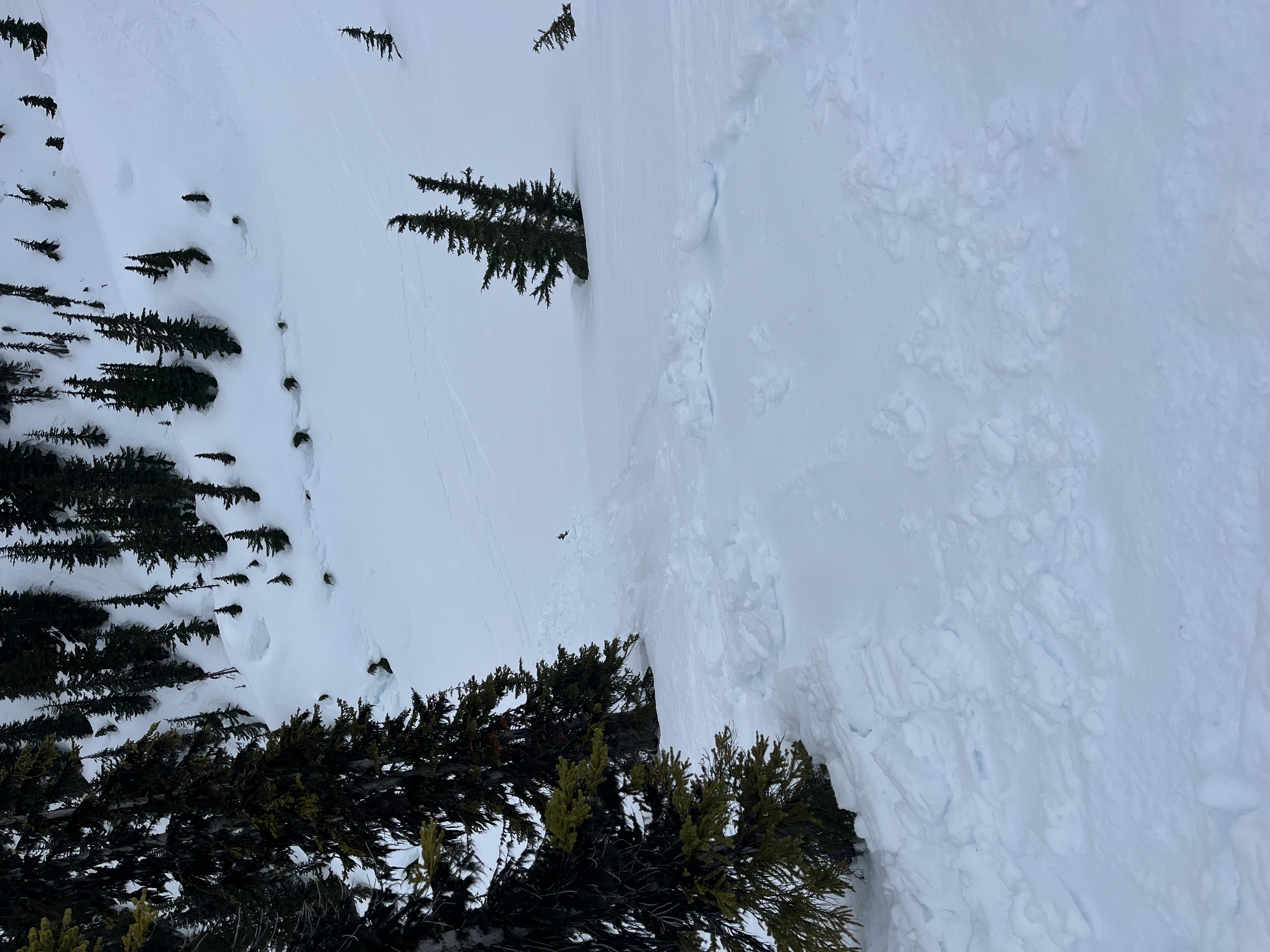
Comments
Skiing down from the Asulkan hut this morning. Conditions were hideous from the hut - rained soaked slush. Had rained overnight and melted snow from yesterday's warm weather hadn't frozen. Skiing down the ridge near tree triangle it was very easy to trigger wet loose slides. Picture shows one which started small but gathered more snow as it went down. Bed surface was presumably a sunscrust.