- Credit
- Jen Coulter
- Credit
- pataga.net/WhetherToFLy.html
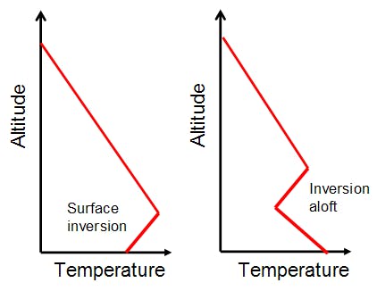
A temperature inversion occurs when air at higher elevations is warmer than air at valley bottom. This is a reverse of normal conditions, where air temperature decreases with height.
Temperature inversions form due to many processes, two of which are warm air flooding in aloft and subsidence. In the first case, a warm front moving into British Columbia will cause warm air to rise up and over cooler, denser air settled in valley bottoms. If this elevated air mass is above 0 C, rain may occur in the alpine or treeline, with freezing rain or ice pellets falling in valley bottoms.
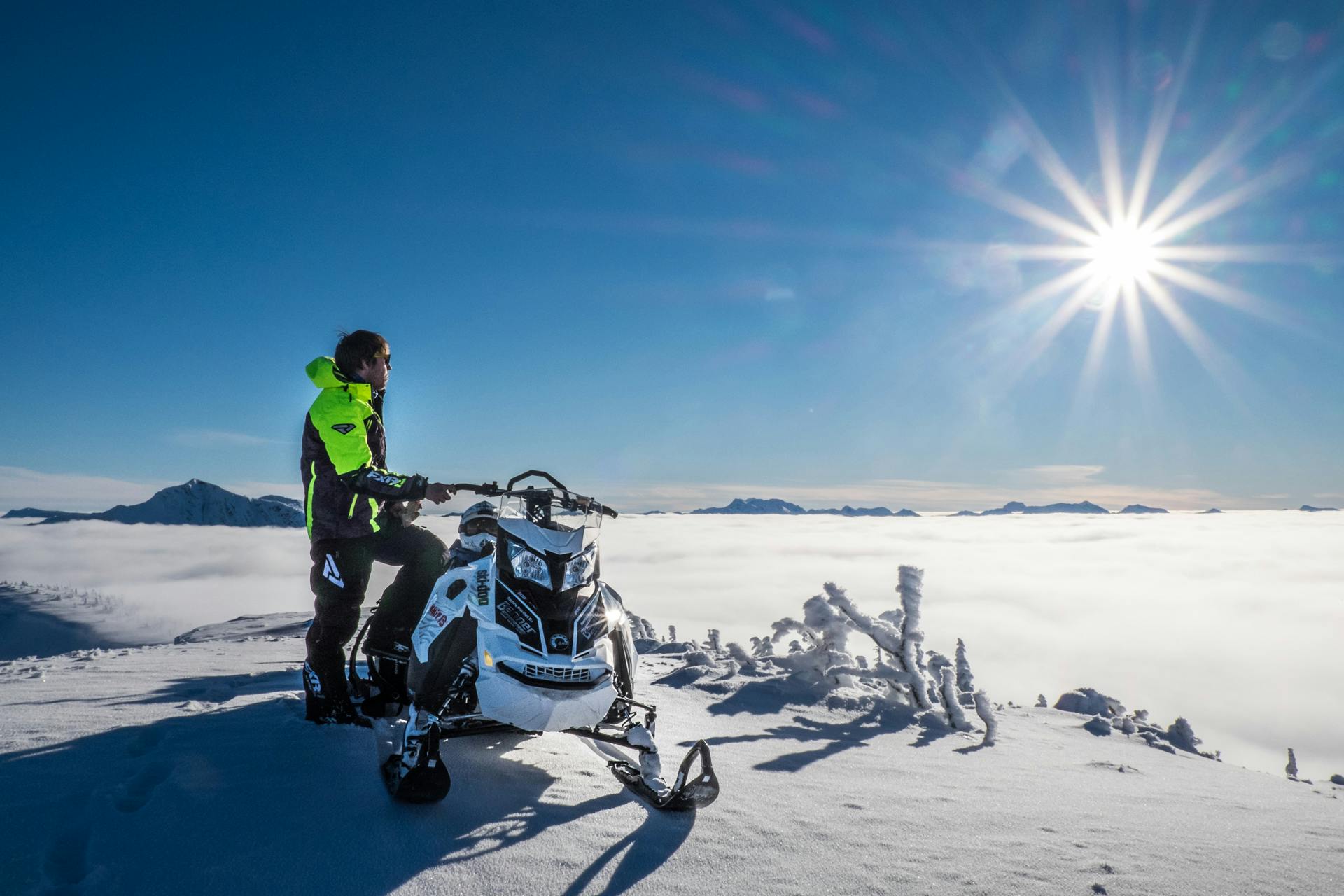
Alternatively, when high pressure is in place for multiple days, air descending to the surface of the Earth (subsiding) can create a temperature inversion up high known as a subsidence inversion. Warm, sunny conditions may exist at mountain top, while cool, often cloudy conditions are found at valley bottom.
Surface-based inversions also form due to overnight heat loss at ground level, and the subsequent cooling of adjacent layers of air.
During a temperature inversion, dramatic warming of the snowpack can occur during the day at alpine elevations. This warming may not be obvious to a person traveling at lower, cooler elevations, and may increase threats posed by overhead hazards.
Once in place, this stagnant weather pattern is challenging to break.
See also: