- Credit
- Environment and Climate Change Canada

- Credit
- Damon Stokes
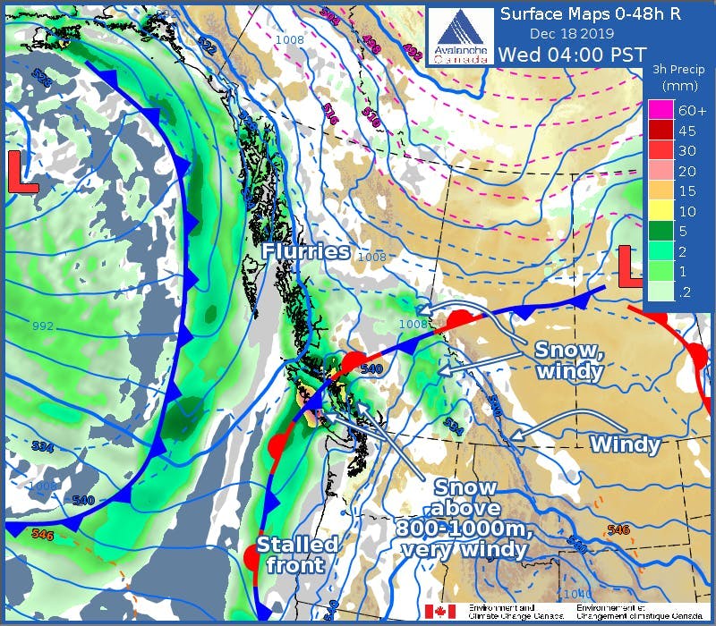
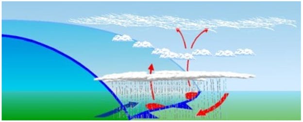
A stationary front is an interface between two air masses that are not moving or moving very slowly. Surface winds blowing parallel to the front can help it remain in place for longer.
Weather along the frontal zone depends on the two air masses at play. If both air masses are relatively dry, cloud cover will be scattered with little or no precipitation. If one or both air masses is sufficiently moist, widespread cloud cover with intermittent to steady light precipitation can be expected.
A stationary front is represented on weather maps by alternating blue and red line segments, with blue triangles that point towards warm air and red semicircles that point towards cold air.
See also: