- Soumis par
- avcan.festive349
- Date d'observation
- mardi 3 mars 2026 à 03 h 00
- Localisation
- 50.945700° N 118.070100° W
- Rapport concernant
- Conditions de neige
%2F-118.0701%2C50.9457%2C8%2C0%2C0%2F1026x200%3Faccess_token%3Dpk.eyJ1IjoiYXZhbGFuY2hlY2FuYWRhIiwiYSI6ImNqd2dvZmUxdzE4ZWg0M2tkaXpuNG95aTQifQ.pBLM87fE3sIxRJqJT7Bf7g&w=1200&q=75 "Avalanche in Radar Bowl")
Information
- Activité
- Ski
Détails du groupe
- Nombre total de personne dans le groupe ?
- 1
- Nombre de personnes entièrement ensevelies ?
- 0
- Nombre de personnes partiellement ensevelies avec une respiration altérée ?
- 0
- Nombre de personnes partiellement ensevelies avec une respiration normale ?
- 1
- Nombre de personnes non blessées (emportées mais non ensevelies) ?
- 0
- Nombre de personnes blessées (emportées mais non ensevelies) ?
- 0
- Nombre de personnes impliquées ?
- 1
Détails du terrain
- Forme du terrain au point de déclenchement
- Concave
- Piège naturel
- Ravin ou dépression
- Transition de pente ou replat
Commentaires
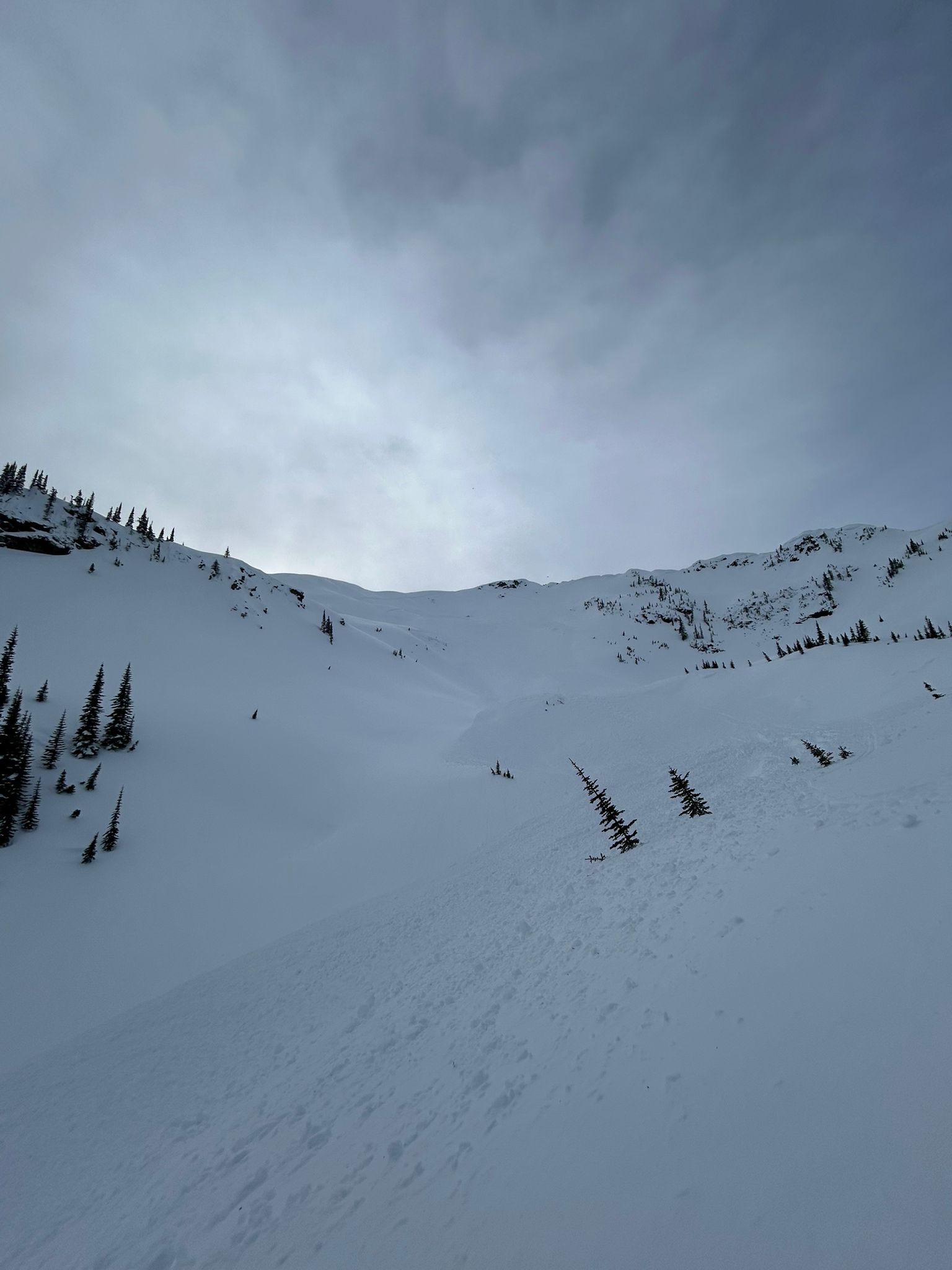
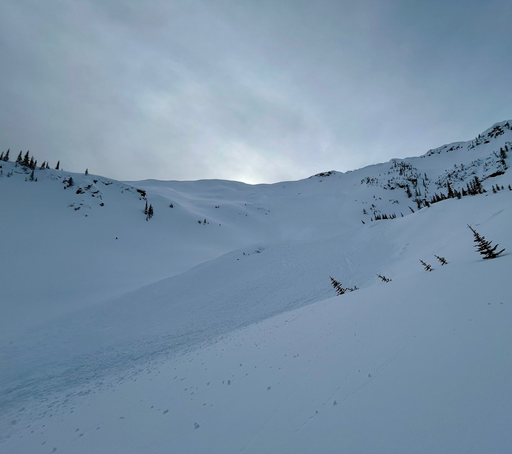
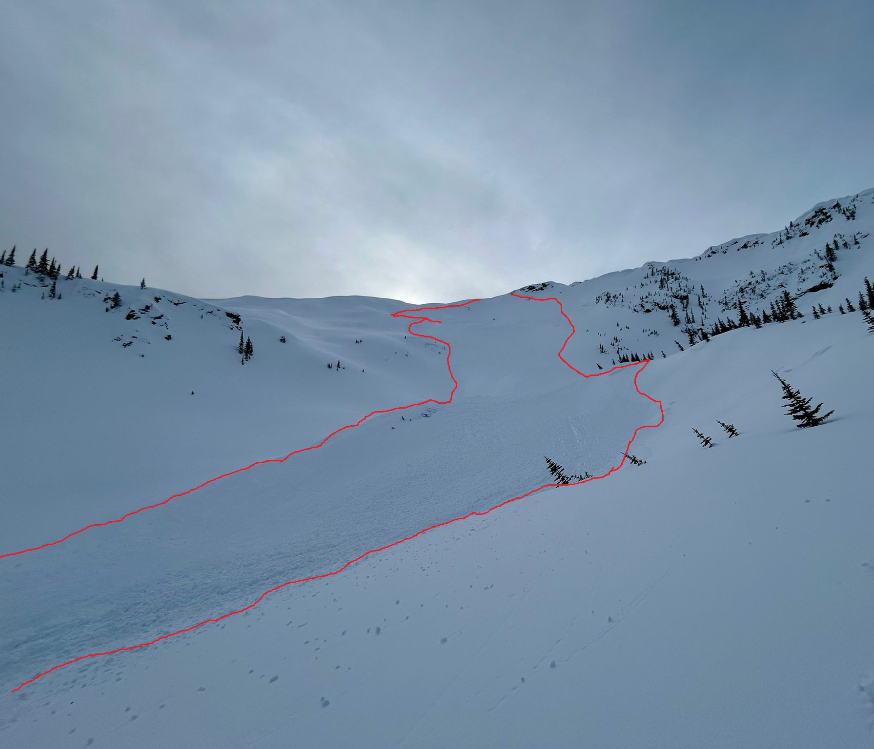
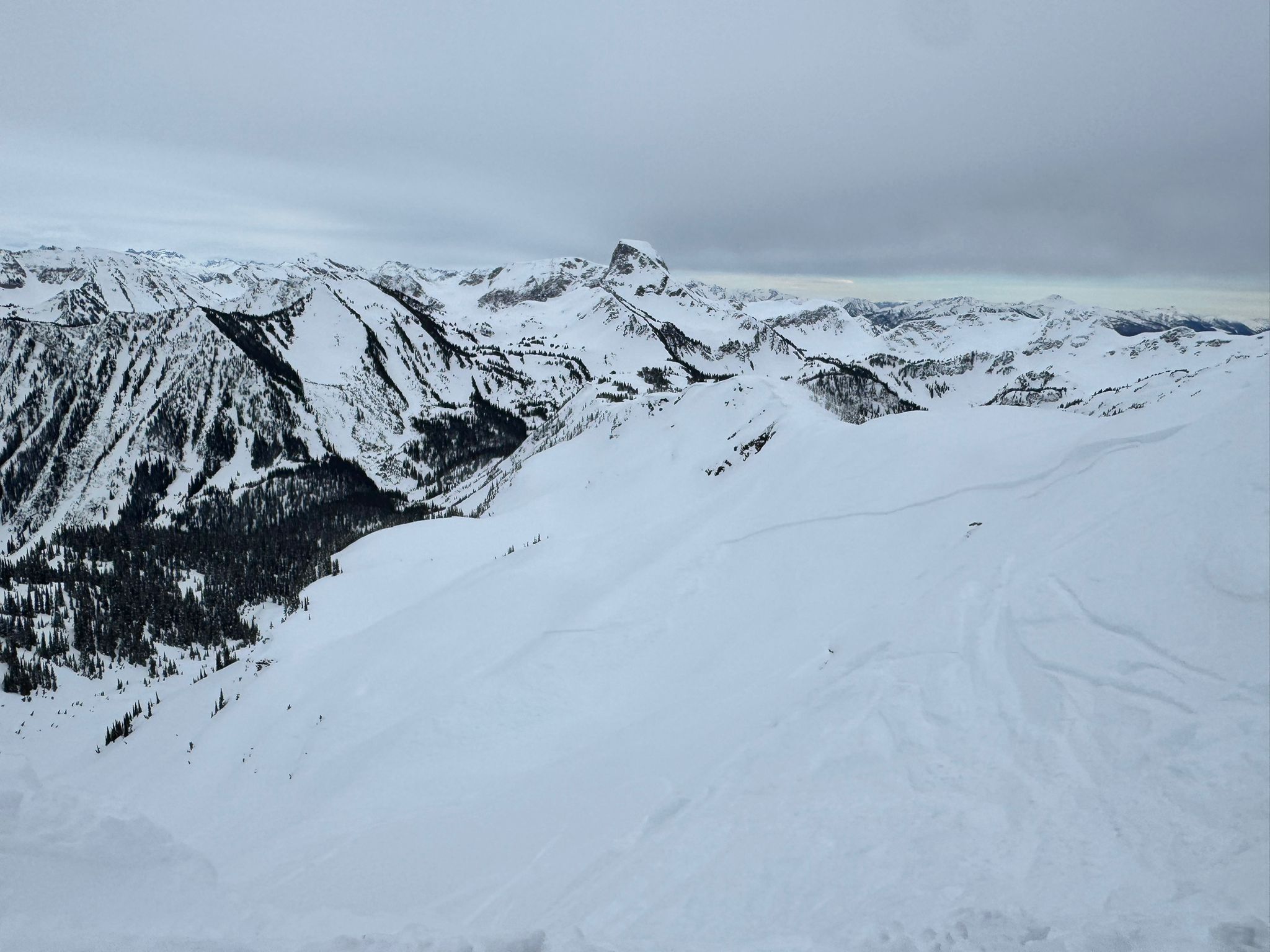
Whilst on Kokanee Peak summit we heard and then saw the immediate aftermath of a size 2.5-3 slab released on thee eastern face off Kokanee Peak. It had a significant run off (~400m) into Radar Bowl, propagation of ~200m and crown depth of perhaps 60cm. We think remote triggered, most likely by a group further SE from Kokanee Peak.. One solo skier caught in the runoff (approx 300m below the crown) and carried approx 100m. Partially buried, self-rescued, thankfully with no injuries.
He referenced potential other skiers higher in the bowl, but wasn't sure if they were exposed to the runoff or not. The guide we were with conducted a transceiver clearance of the debris, with no signals or surface clues found. The caught skier was extracted via heli.