- Soumis par
- blount06
- Date d'observation
- samedi 11 janvier 2025 à 21 h 01
- Localisation
- 50.289133° N 125.790347° W
- Rapport concernant
- Conditions de neige
%2F-125.79034679033069%2C50.28913339168648%2C8%2C0%2C0%2F1026x200%3Faccess_token%3Dpk.eyJ1IjoiYXZhbGFuY2hlY2FuYWRhIiwiYSI6ImNqd2dvZmUxdzE4ZWg0M2tkaXpuNG95aTQifQ.pBLM87fE3sIxRJqJT7Bf7g&w=1200&q=75 "Sunny with a buffet of conditions")
Express
Avalanche
Manteau neigeux
Météo
Incident
Conditions de neige
- La qualité du hors-piste était:
- OK
- Les conditions de neige étaient :
- Croûtée
- Durcie
- Lourde
- Poudreuse
- Mouillée
- Affectée par le vent
- Nous avons parcouru:
- Blocs de coupe forestière
- Pentes de faible inclinaison
- Forêt dégagée
- Pentes ensoleillées
- Nous sommes restés à l'écart de:
- Pentes convexes
Information
- La journée était:
- Ensoleillée
- Chaude
- Venteuse
- Conditions d'avalanche
- Avalanches de plaque datant d'aujourd'hui ou d'hier.
- Augmentation rapide de la température jusqu'à près ou au-dessus de 0°C ou neige mouillée en surface.
Commentaires
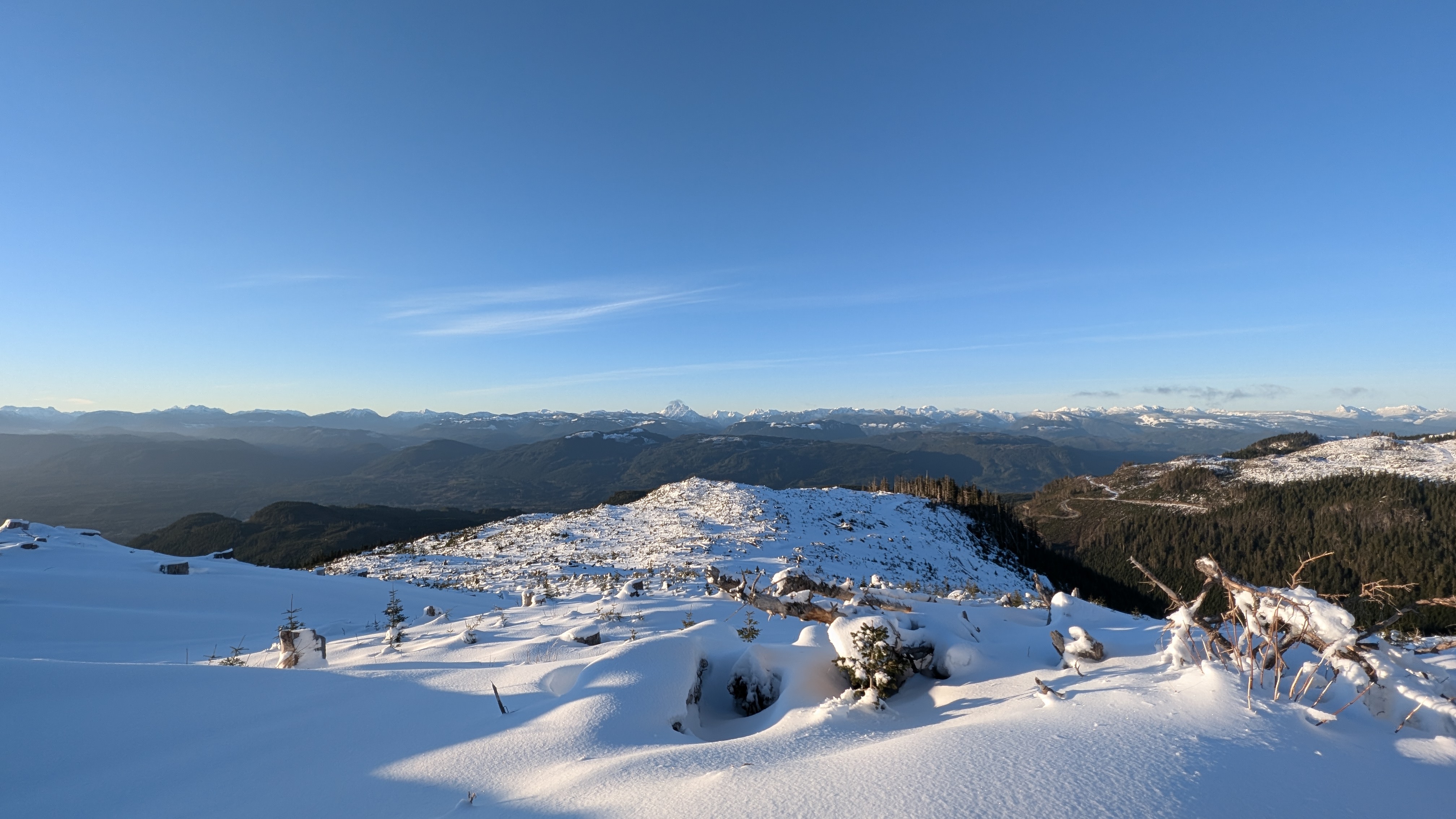
Went for a poke about on in the POW range, snow line started around 600m and and staged at 750-800m.
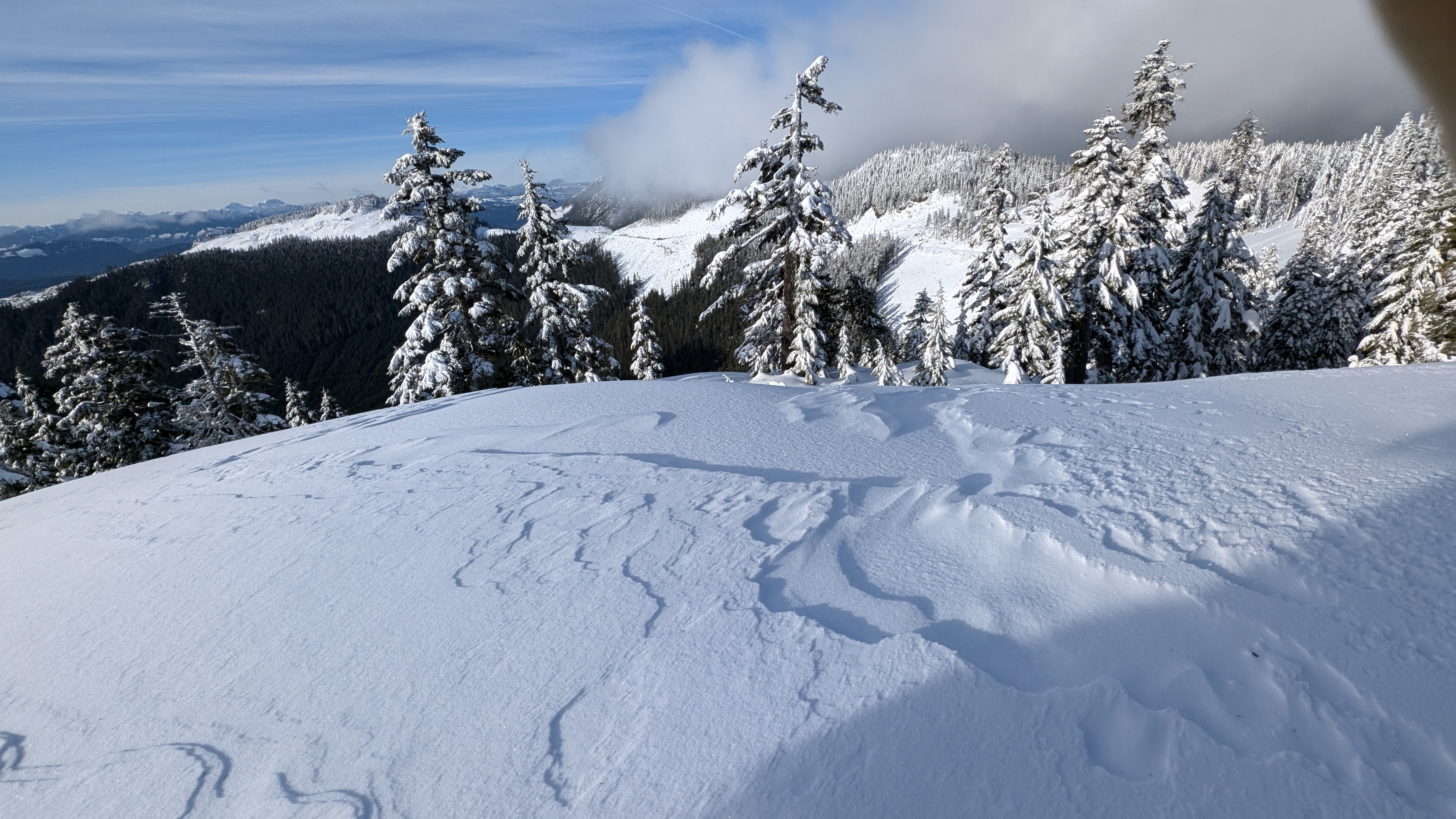
Bomb proof snow pack covered by 5-15cm of fresh/wind transported snow. Best skiing was in the trees where it hasn't been scoured or turned to a rime sheet. Lots of wind effect and drifting on access roads to higher elevations, which made travel interesting.. like negotiating 1-2m snow waves.
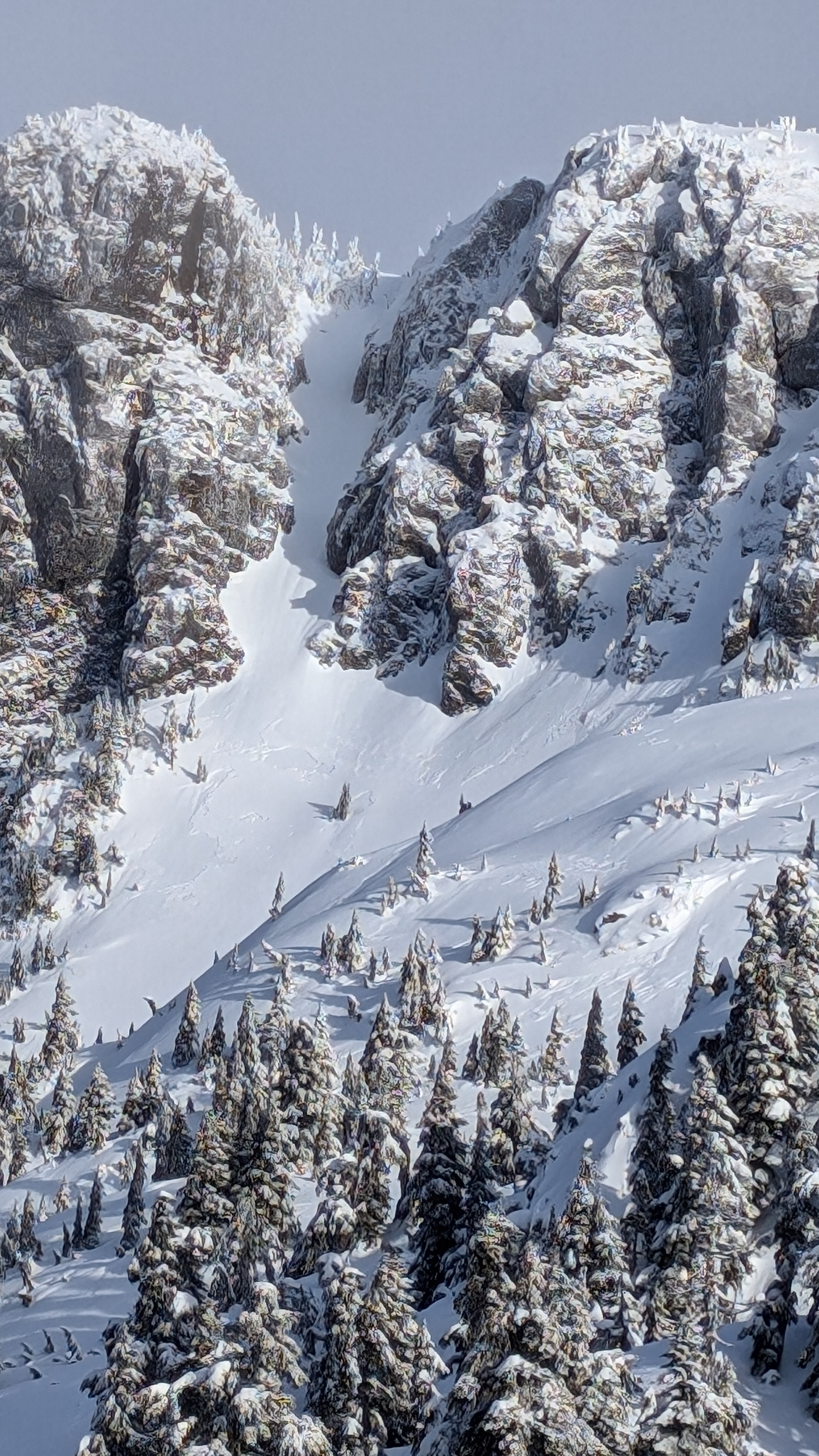
Saw a bit of avalanche activity on a steeper SW slope, seemed to be a 5-10cm release of the recent storm slab.
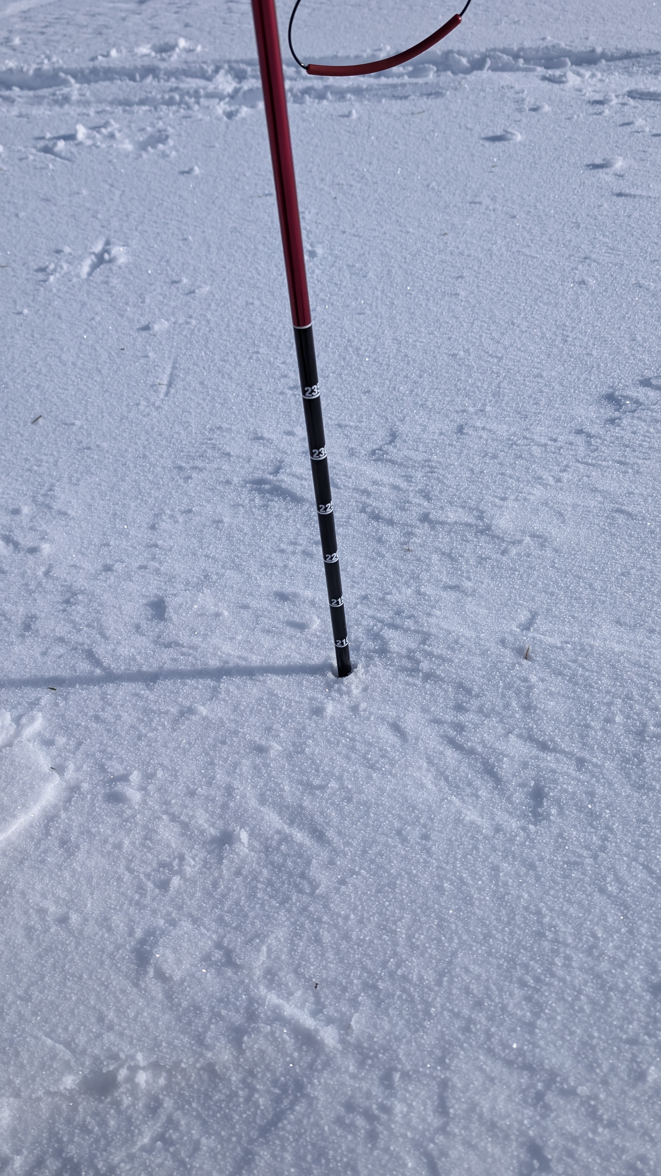
Snowpack at 1200m was 210cm in a meadow reasonably with not too much apparent wind transport to skew the results.
Sunny and cold in the morning with the snow pack softening in the afternoon.