- Date
- Wednesday, November 20, 2024
Daily avalanche forecasts are about to start for the season and winter backcountry recreationists are already getting into the mountains.

AvCan team hard at work preparing for the first forecasts.
Travel is still a bit rugged down low, but as you gain elevation, you’ll find that there are fewer ground obstacles impeding your travel and the snowpack is likely above the threshold depth for avalanches. In many places, this transition is now somewhere below treeline and several Mountain Information Network (MIN) users across the province have already reported human-triggered avalanches.
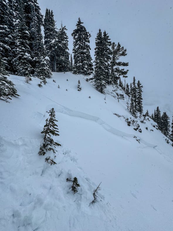
Nov 18 Harvey Pass, southeast of Fernie Photo: MIN user DYLANSIGGERS
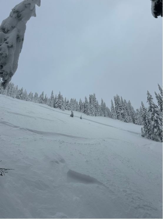
Nov 18 The Gorge, west of Revelstoke. Photo: anonymous MIN user
A bomb cyclone is currently lingering off the southwest coast of BC. This weather phenomenon is different from a run-of-the-mill storm because the atmospheric pressure in the center of the low drops very rapidly. This intensifies stormy weather driven by the low pressure system. We have already seen the effects of this on Vancouver Island and the south coast, with high winds and heavy precipitation. Coastal areas further north of the low are experiencing amplified outflow winds. The extreme weather conditions have not spread into the interior of the province.
As the bomb cyclone weakens and shifts west, the intensity of the storm will decrease, but stormy weather is expected to continue for southern BC into the weekend. It’s likely we’ll see storm and wind slab avalanche problems for most avalanche forecasts over the weekend.

Bomb Cyclone moving west. Source: Mountain Weather Forecast
In parts of the interior mountain ranges that have seen less snowfall and cooler temperatures, a frozen crust buried in November is likely to be coupled with weak layers like facets or surface hoar. This is the case in some of the avalanches already reported, and the forecasted weather is not likely to improve avalanche conditions for these places.
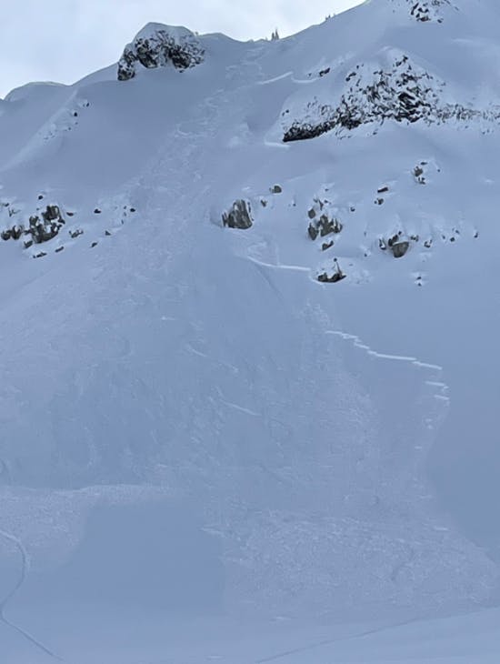
Nov 17th Shovelnose, west of Whistler. Photo: MIN user KYLE_G1
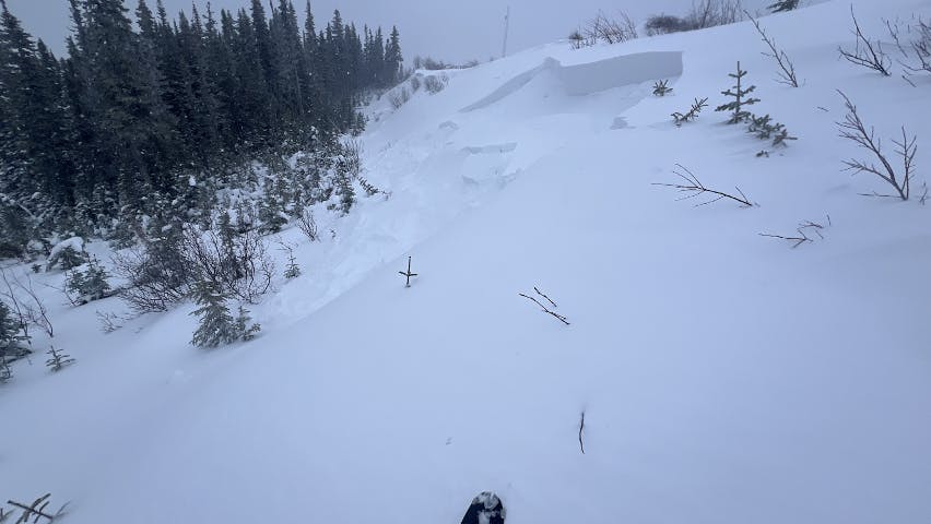
Nov 16 West of Tumbler Ridge, North Rockies. Photo: MIN user DAVE
As you get a handle on avalanche conditions and get your winter legs under you, it’s looking like it will be a good time to start with small, mellow slopes where buried hazards like stumps, rocks, creeks, and larger terrain traps are easy to spot and avoid. As always, it will be important to check your local avalanche forecast and MINs in your area before heading out this weekend. The changing weather and setup of the snowpack mean that conditions could change quickly, so it’s important to get the most up to date information. The first daily forecast for Friday, November 22 will be published on the evening of the 21st.
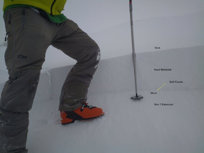
Nov 13th Mt. Harvey, northeast of Smithers. Photo: MIN user HYLAND BACKCOUNTRY