- Submitted by
- alexa.p.dumaine
- Observations date
- Sunday, March 1, 2026 at 18:00
- Location
- 49.354762° N 115.078233° W
- Reporting on
- Snow conditions
%2F-115.07823338901491%2C49.354761773815056%2C8%2C0%2C0%2F1026x200%3Faccess_token%3Dpk.eyJ1IjoiYXZhbGFuY2hlY2FuYWRhIiwiYSI6ImNqd2dvZmUxdzE4ZWg0M2tkaXpuNG95aTQifQ.pBLM87fE3sIxRJqJT7Bf7g&w=1200&q=75 "Micky Dermo Basin Pits")
Quick
Avalanche
Snowpack
Weather
Incident
Information
- Is this a point observation or a summary of your day?
- Summary
- Elevation above sea level
- 1,800m
- Elevation band
- Below treeline
- Aspect
- N
- NW
- W
- Did you observe whumpfing?
- No
- Did you observe cracking?
- No
- Foot penetration
- 50cm
- Ski penetration
- 10cm
- Snowpack test result
- Moderate
- Snowpack test fracture character
- Uneven break
- Snowpack test failure depth
- 55cm
- Surface conditions
- Crust
- Snowpack test failure layer crystal type
- Crust
Comments
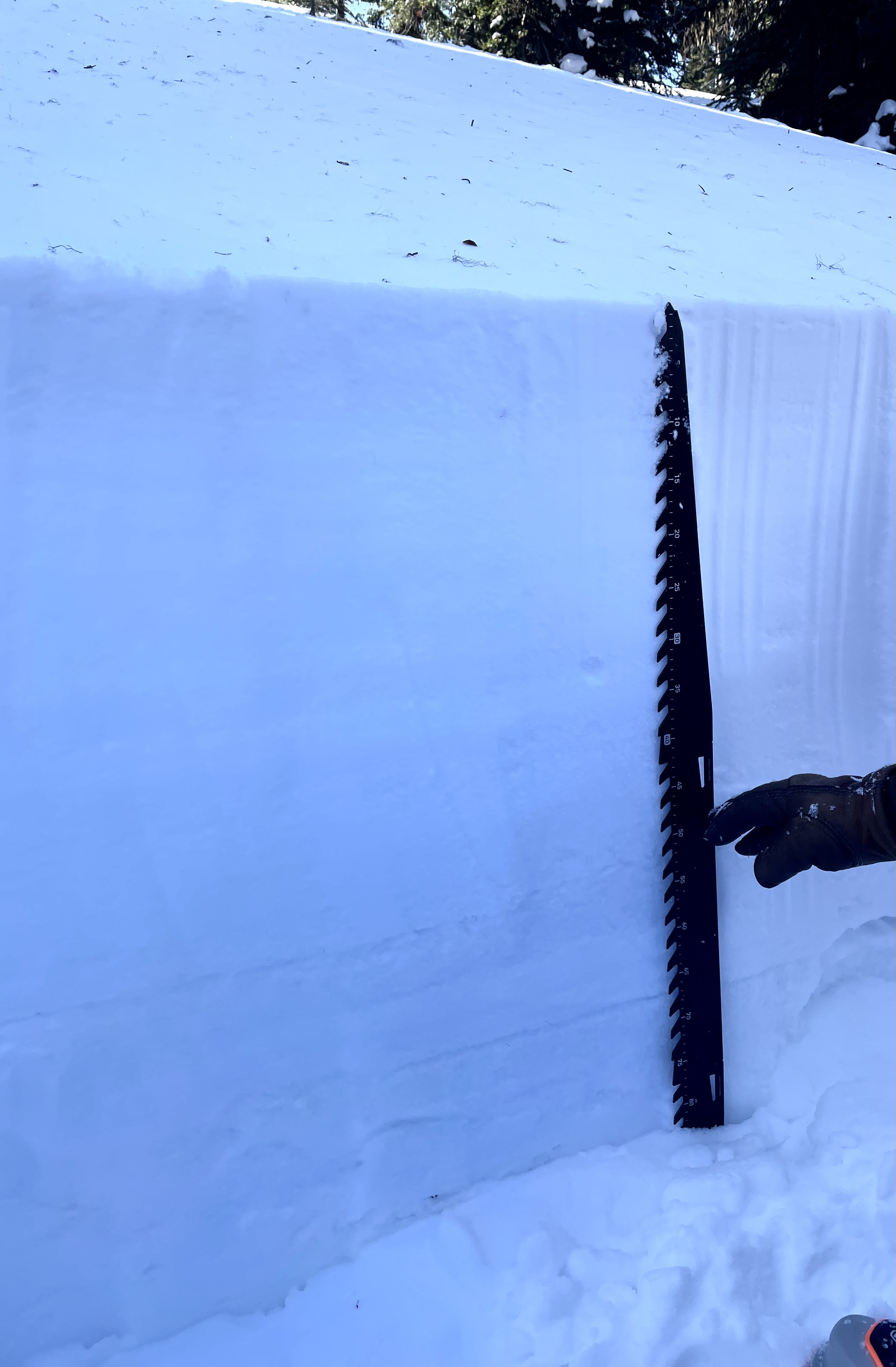
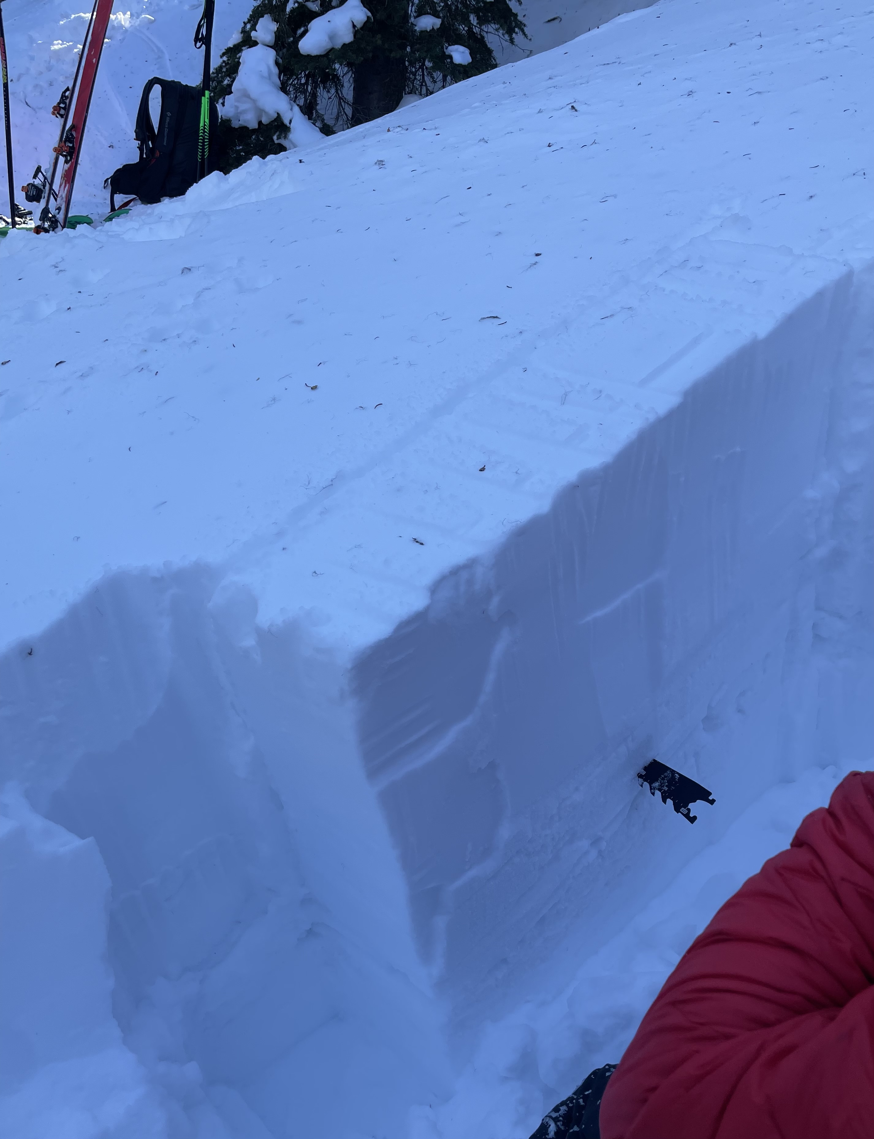
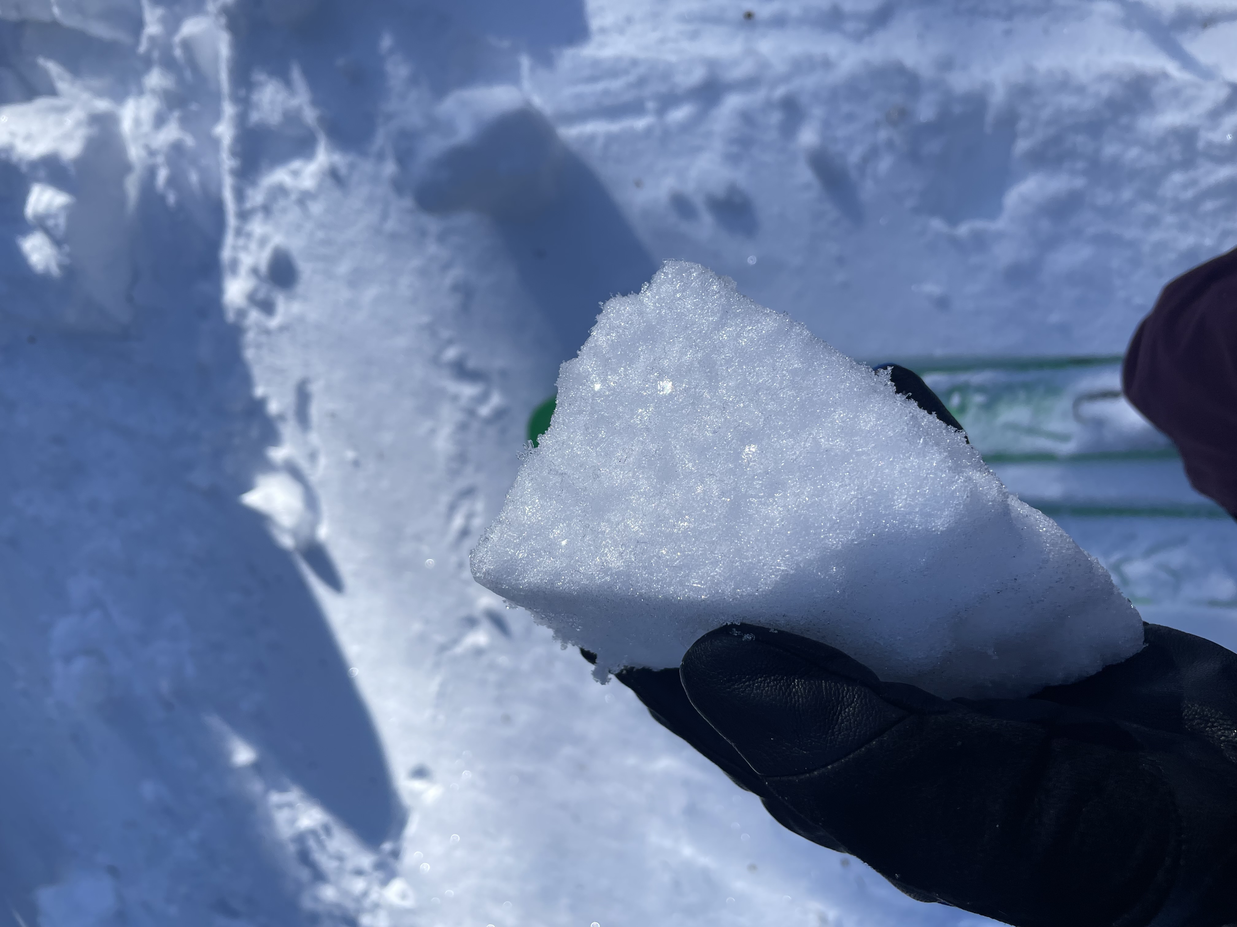
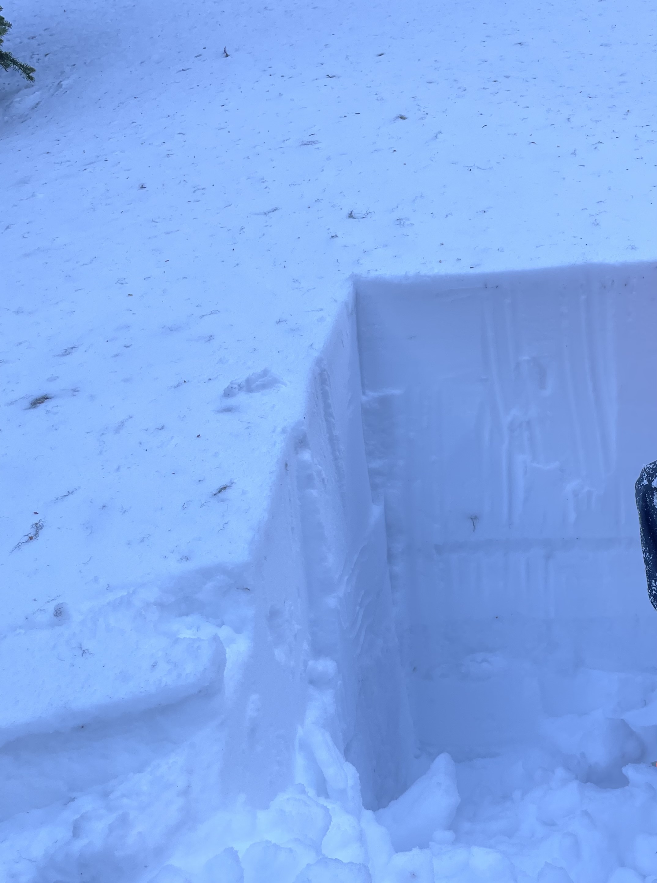
Two quick snowpack pits were dug in simple lower angle terrain in open treed area, at the foot of the planetary ridge area. Entire area was very wind affected with a continuous wind crust on most terrain travelled (skis). Wind direction seems to be consistently ESE through the basin.
West slope pit 10:30 am 85 cm deep
8 cm wind skin
39cm consolidated Soft snow
2cm sun crust
15cm consolidated firm snow
13cm crust
Compression tests: no signs of collapse
North slope pit 11:23 am 83cm deep
5cm wind skin
47 cm consolidated snow
1cm sun crust
15cm consolidated snow
5cm buried surface hoar
Compression tests:
Sudden collapse at first shoulder tap, non planar, at first crust (52cm depth)
PST: failure halfway through the block