- Submitted by
- nicolashochereau
- Observations date
- Sunday, January 5, 2025 at 19:20
- Location
- 49.610155° N 121.082056° W
- Reporting on
- Snow conditions
%2F-121.0820557701647%2C49.61015478368387%2C8%2C0%2C0%2F1026x200%3Faccess_token%3Dpk.eyJ1IjoiYXZhbGFuY2hlY2FuYWRhIiwiYSI6ImNqd2dvZmUxdzE4ZWg0M2tkaXpuNG95aTQifQ.pBLM87fE3sIxRJqJT7Bf7g&w=1200&q=75 "Thar snow pit")
Quick
Avalanche
Snowpack
Weather
Incident
Information
- Is this a point observation or a summary of your day?
- Point observation
- Elevation above sea level
- 1,603m
- Elevation band
- Treeline
- Aspect
- SE
- Snowpack depth
- 150cm
- Did you observe whumpfing?
- No
- Did you observe cracking?
- No
- Snowpack test result
- Moderate
- Snowpack test fracture character
- Sudden (`pop` or `drop`)
- Surface conditions
- New snow
- Snowpack test failure layer crystal type
- Surface hoar
Comments
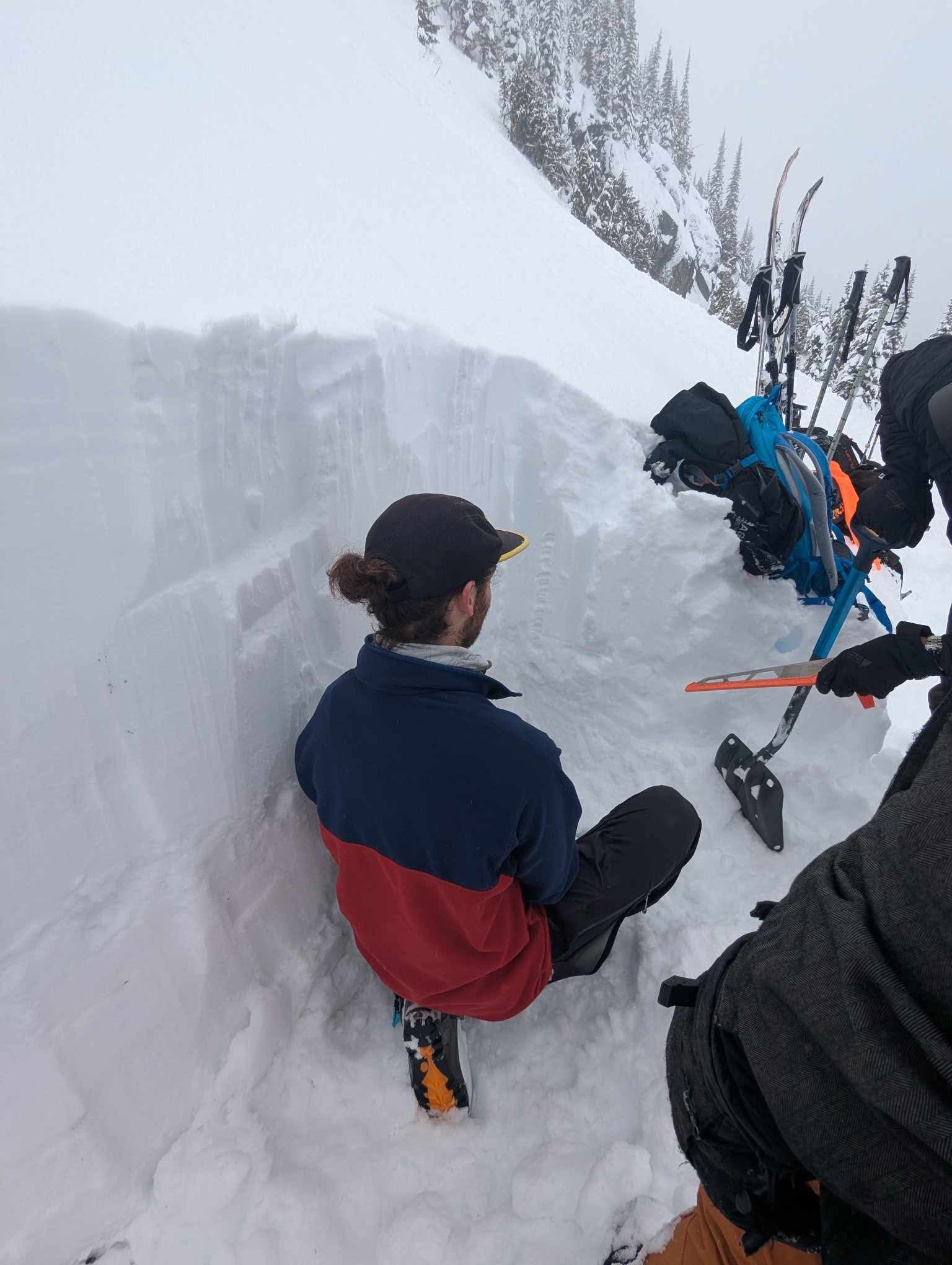
Crack at 30cm on compression Test after 16 taps crack and slide after 26 taps at 60cm
Extended Column Test Negative
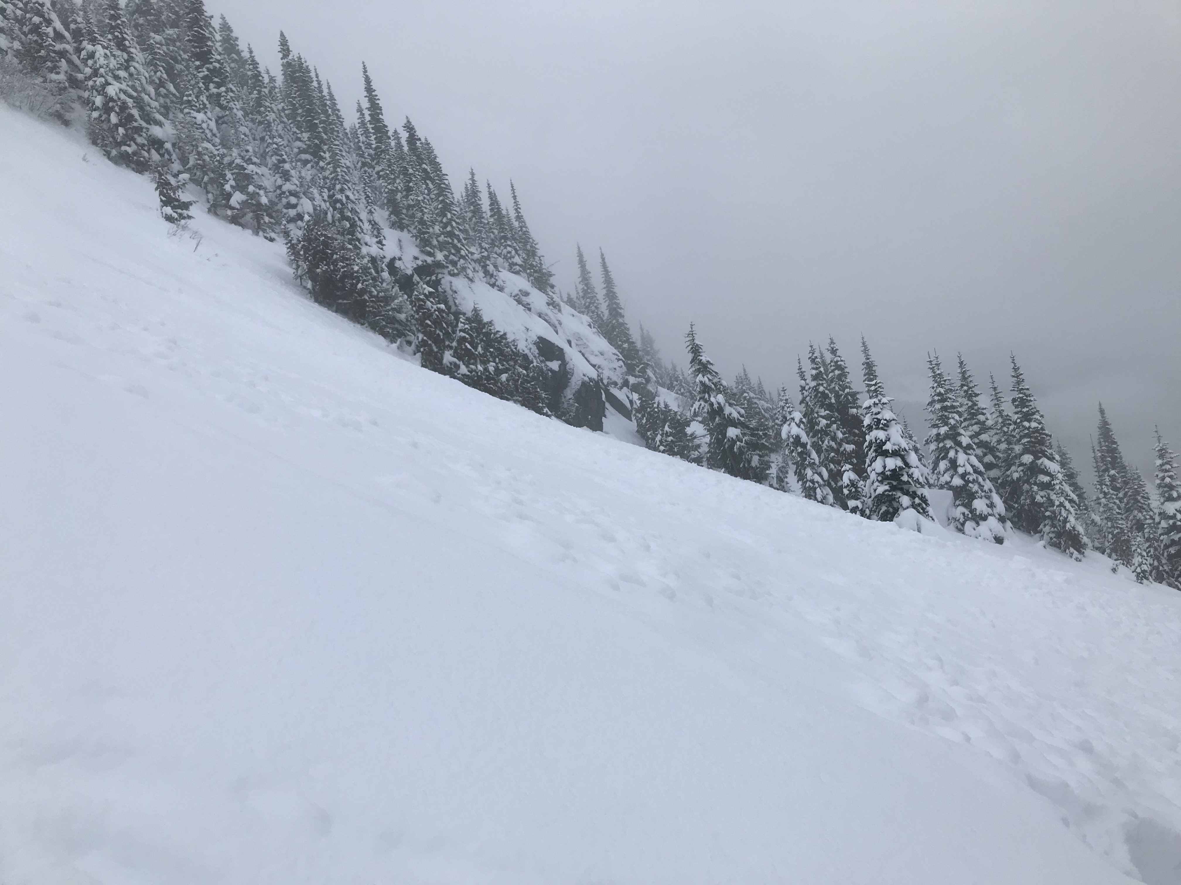
45 degrees angle slope ESE
Thick crust starting 60cm below the surface above ground
We saw signs of old size 1 avalanches