- Submitted by
- orryski
- Observations date
- Monday, February 16, 2026 at 20:00
- Location
- 49.411130° N 117.135030° W
- Reporting on
- Snow conditions
%2F-117.13503%2C49.41113%2C8%2C0%2C0%2F1026x200%3Faccess_token%3Dpk.eyJ1IjoiYXZhbGFuY2hlY2FuYWRhIiwiYSI6ImNqd2dvZmUxdzE4ZWg0M2tkaXpuNG95aTQifQ.pBLM87fE3sIxRJqJT7Bf7g&w=1200&q=75 "Size 3 Skier Remote failing on Jan 28th.")
Quick
Avalanche
Snowpack
Weather
Incident
Information
- Avalanche date/time
- Monday, February 16, 2026 at 20:00
- Estimated occurrence time of avalanche
- Less than 12 hours ago
- Number of avalanches in this report
- 1
- The size of avalanche
- 3
- Slab thickness
- 45cm
- Slab width
- 100m
- Run length
- 850m
- Avalanche Character
- Persistent slab
- Trigger type
- Skier
- Trigger subtype
- Remote
- Remote trigger distance
- 75m
- Start zone aspect
- W
- Start zone elevation band
- Below treeline
- Treeline
- Start zone elevation
- 1,950m
- Start zone incline
- 35°
- Runout zone elevation
- 1,450m
- Weak layer burial date
- Wednesday, January 28, 2026
- Weak layer crystal type
- Surface hoar and facets
- Crust near weak layer
- Yes
- Vegetation cover
- Open slope
Comments
Our party of 3 felt several whumphs while ascending (North aspect)
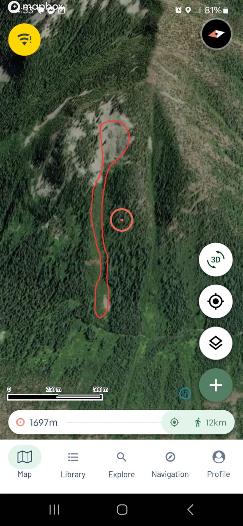
We descended through thick timber adjacent to a large path above Qua Creek (West Aspect). At a regroup halfway down our descent we noticed an avalanche in the path. Did not see, hear or feel the failure, so can’t confirm it was our remote trigger, but the deposit looked fresh, and was not buried by new snow- so very likely.
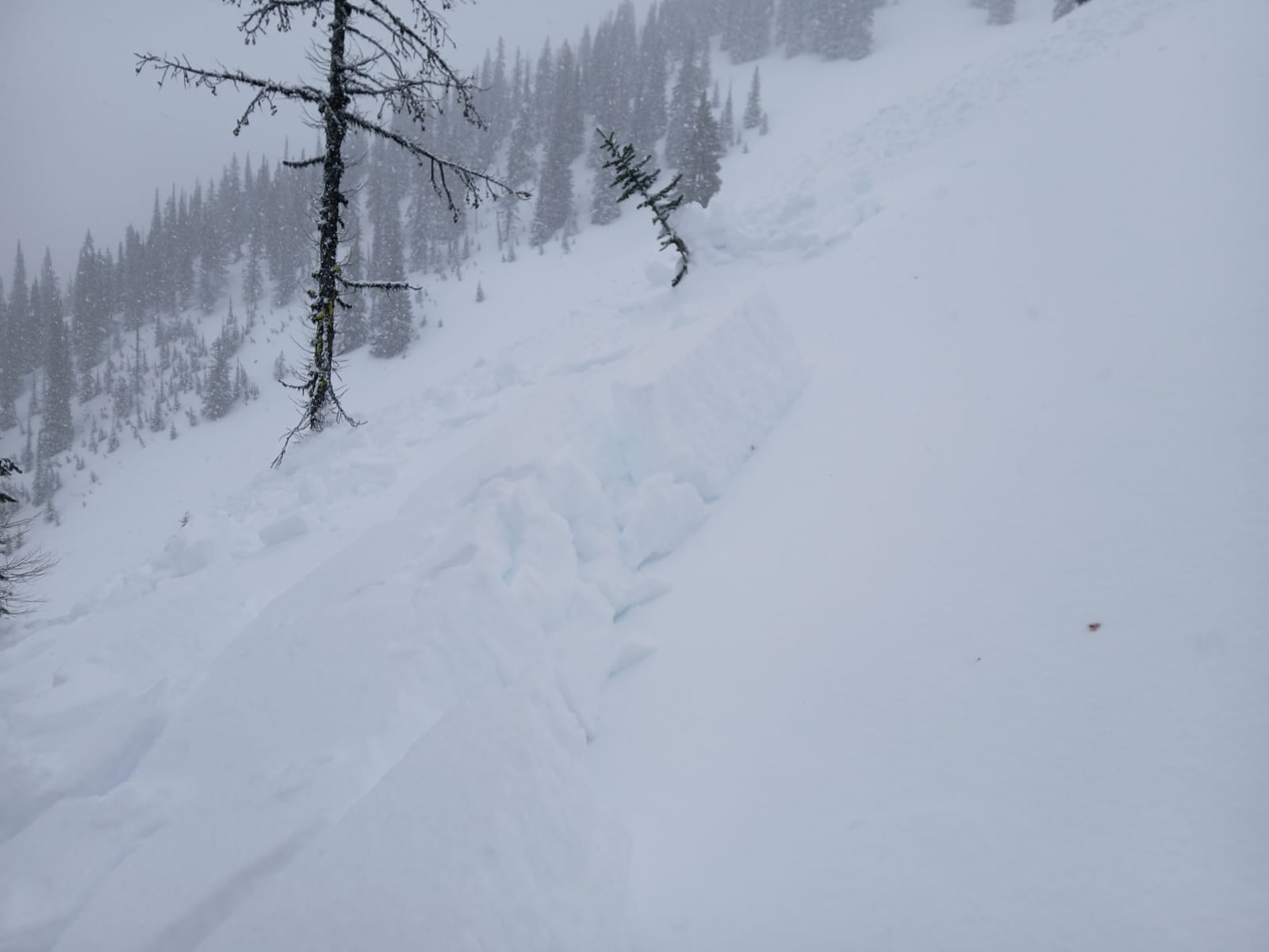
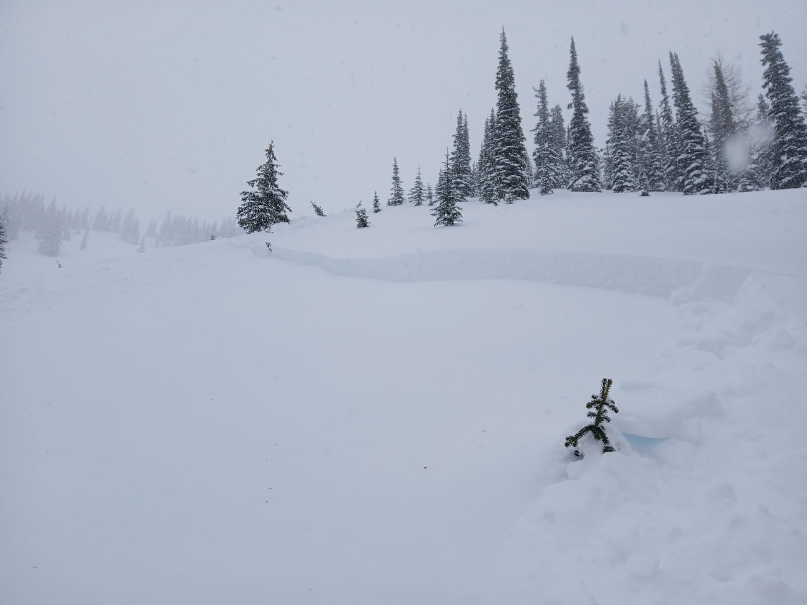
Poor visibility and hang fire prevented photos of the full crown width; however we were able to access a flank and confirm a Jan 28th Failure plane.
850m long,
500m elevation
~3m Deep in runout.