- Submitted by
- AvCan Vancouver Island
- Observations date
- Thursday, March 20, 2025 at 19:00
- Location
- 50.588740° N 123.038600° W
- Reporting on
- Snow conditions
%2F-123.0386%2C50.58874%2C8%2C0%2C0%2F1026x200%3Faccess_token%3Dpk.eyJ1IjoiYXZhbGFuY2hlY2FuYWRhIiwiYSI6ImNqd2dvZmUxdzE4ZWg0M2tkaXpuNG95aTQifQ.pBLM87fE3sIxRJqJT7Bf7g&w=1200&q=75 "Stayed off the Face")
Snow conditions
- Riding quality was:
- Good
- Snow conditions were:
- Powder
- We rode:
- Convex slopes
- Dense trees
- Mellow slopes
- Open trees
- We stayed away from:
- Alpine slopes
Information
- The day was:
- Cloudy
- Avalanche conditions
- Slab avalanches today or yesterday.
- 30cm + of new snow, or significant drifting, or rain in the last 48 hours.
Comments
We headed to the Hurley to investigate the snowpack around the Face/Birkenhead...
Staging was anywhere between 7 km and 9 km, but proper snow coverage doesn't begin until just after 9 km.
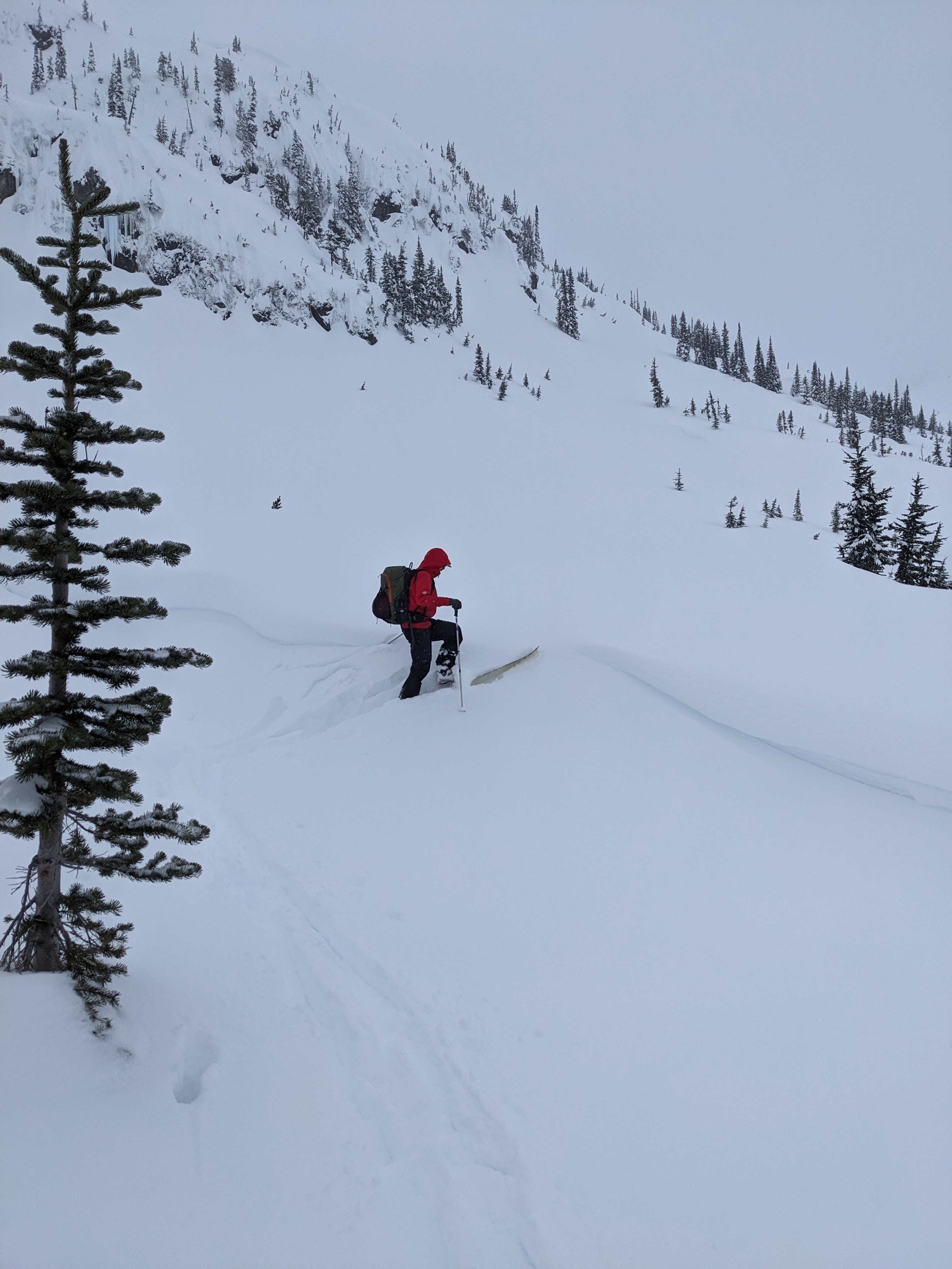
We sledded to 1500m then transitioned to skis. The area got about 10 cm of new snow within the last 24 hours on top of 50ish cm from the weekend.
We dug a profile on a WNW aspect in an open tree area, our result was: ECTN30 down 55 on a storm snow layer. This spot might be quite wind-loaded, in other spots the weak layer might be shallower. Wind was light to moderate with significant snow transport which could cover our tracks within an hour.
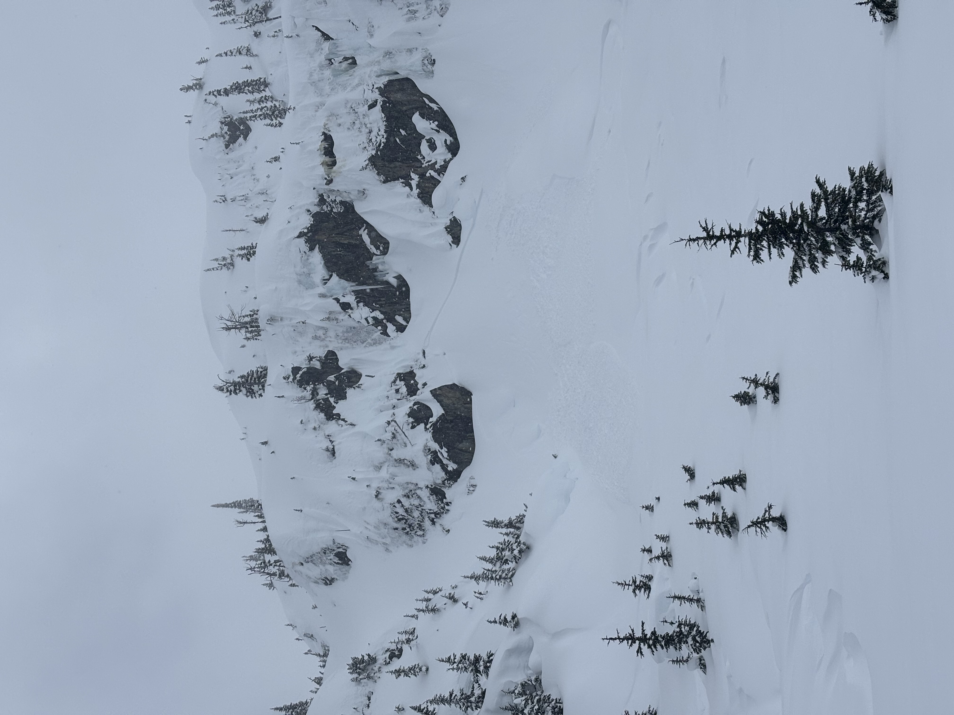
We triggered some size 1 wind slab/ storm slab avalanches while ski cutting and observed a natural release size 1 wind slab on the lee side of cliff area.
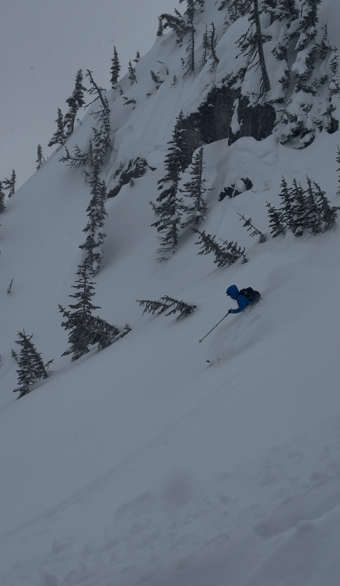
We enjoyed some nice mellow treeline storm skiing.