- Submitted by
- calbrow
- Observations date
- Thursday, January 8, 2026 at 22:00
- Location
- 50.919011° N 119.939112° W
- Reporting on
- Snow conditions
%2F-119.93911244218316%2C50.91901086238616%2C8%2C0%2C0%2F1026x200%3Faccess_token%3Dpk.eyJ1IjoiYXZhbGFuY2hlY2FuYWRhIiwiYSI6ImNqd2dvZmUxdzE4ZWg0M2tkaXpuNG95aTQifQ.pBLM87fE3sIxRJqJT7Bf7g&w=1200&q=75 "Walk around Tod")
Quick
Avalanche
Snowpack
Weather
Incident
Information
- Is this a point observation or a summary of your day?
- Summary
- Elevation above sea level
- 2,000m
- Elevation band
- Treeline
- Aspect
- E
- N
- NE
- S
- SE
- Snowpack depth
- 125cm
- Did you observe whumpfing?
- No
- Did you observe cracking?
- No
- Foot penetration
- 20cm
- Ski penetration
- 10cm
- Snowpack test result
- Hard
- Snowpack test fracture character
- Uneven break
- Snowpack test failure depth
- 10cm
- Surface conditions
- Variable
- Snowpack test failure layer crystal type
- Storm snow
Comments
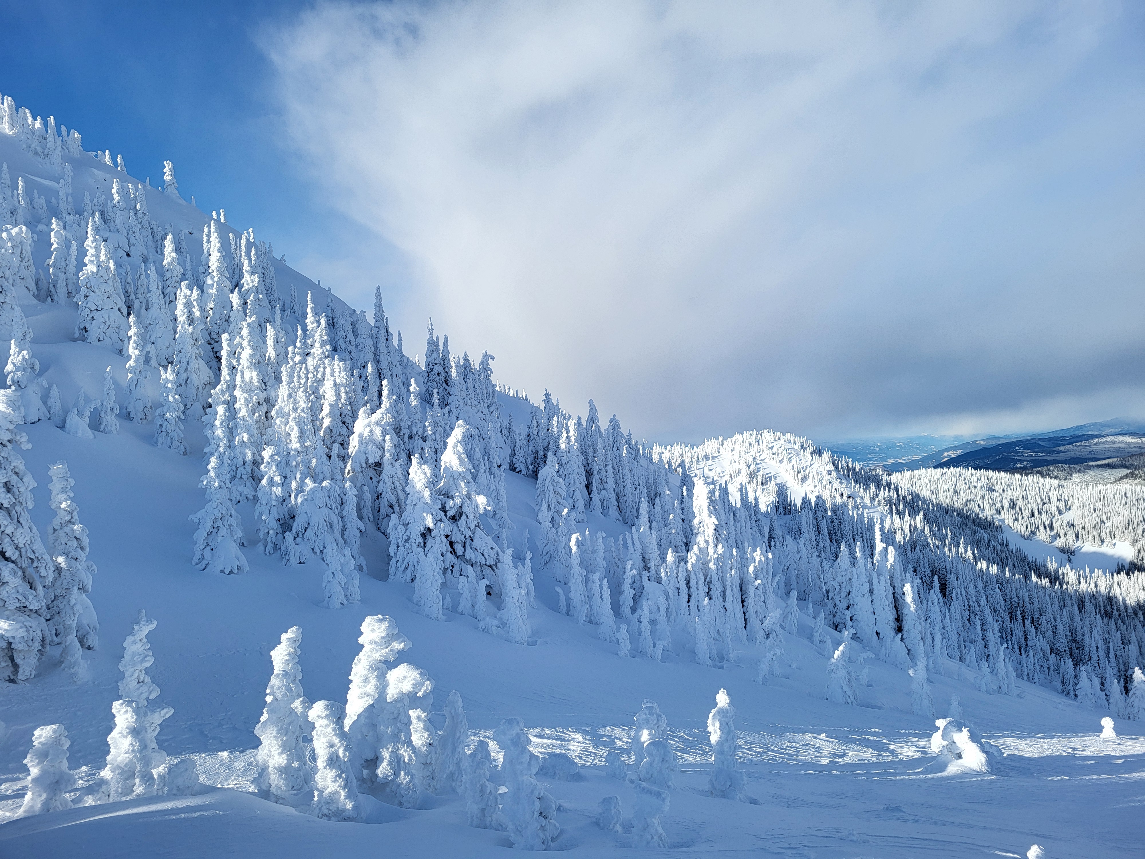
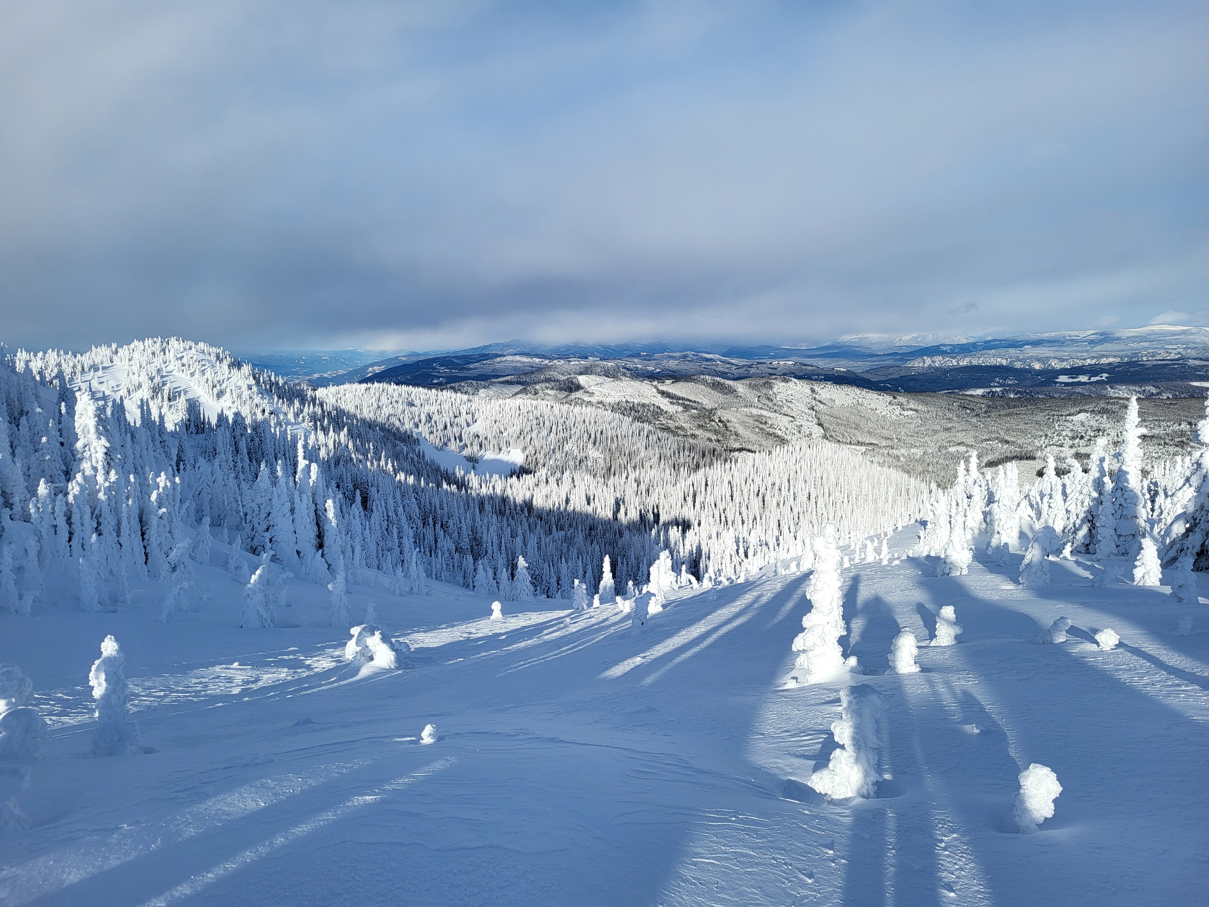
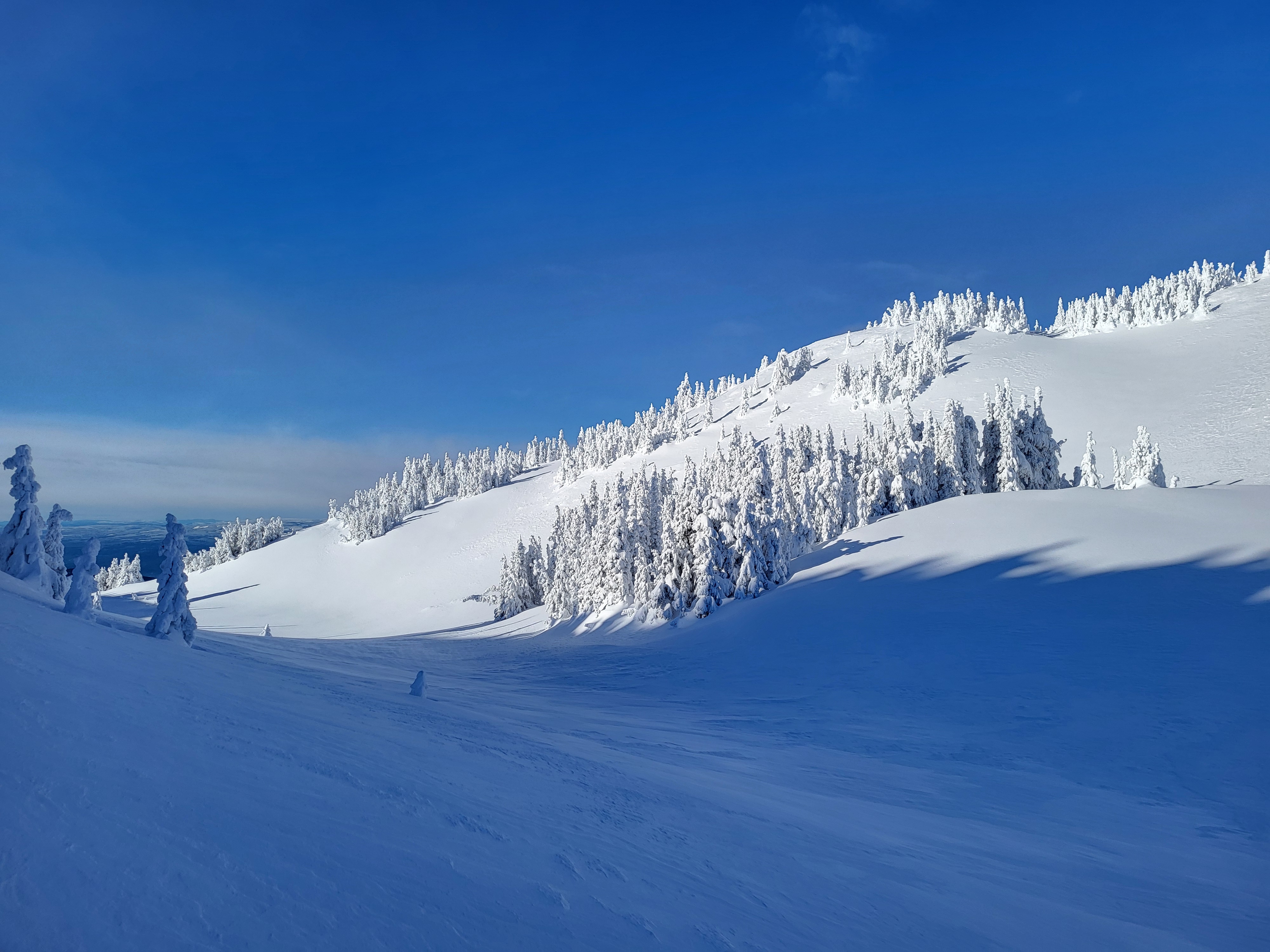
Walk around, average HS 100-150cm W Aspects wind scoured, E aspects loaded. Small pockets of wind slab development at ridge top on North through east aspects with Moderate blowing snow from the west observed. Sheltered slopes fist density storm snow.