- Submitted by
- sim.charland2
- Observations date
- Sunday, February 15, 2026 at 22:20
- Location
- 50.952362° N 118.072061° W
- Reporting on
- Snow conditions
%2F-118.07206117829871%2C50.952362205658346%2C8%2C0%2C0%2F1026x200%3Faccess_token%3Dpk.eyJ1IjoiYXZhbGFuY2hlY2FuYWRhIiwiYSI6ImNqd2dvZmUxdzE4ZWg0M2tkaXpuNG95aTQifQ.pBLM87fE3sIxRJqJT7Bf7g&w=1200&q=75 "Montana avalanche")
Quick
Avalanche
Snowpack
Weather
Incident
Information
- Avalanche date/time
- Sunday, February 15, 2026 at 22:20
- Estimated occurrence time of avalanche
- Less than 12 hours ago
- Number of avalanches in this report
- 1
- The size of avalanche
- 2
- Slab thickness
- 30cm
- Slab width
- 100m
- Run length
- 70m
- Avalanche Character
- Persistent slab
- Wind slab
- Trigger type
- Skier
- Trigger subtype
- Intentional
- Start zone aspect
- N
- NW
- Start zone elevation band
- Alpine
- Treeline
- Start zone elevation
- 2,200m
- Runout zone elevation
- 2,150m
- Weak layer burial date
- Saturday, February 7, 2026
- Weak layer crystal type
- Surface hoar
- Crust near weak layer
- No
- Wind exposure
- Lee slope
- Vegetation cover
- Open slope
Comments
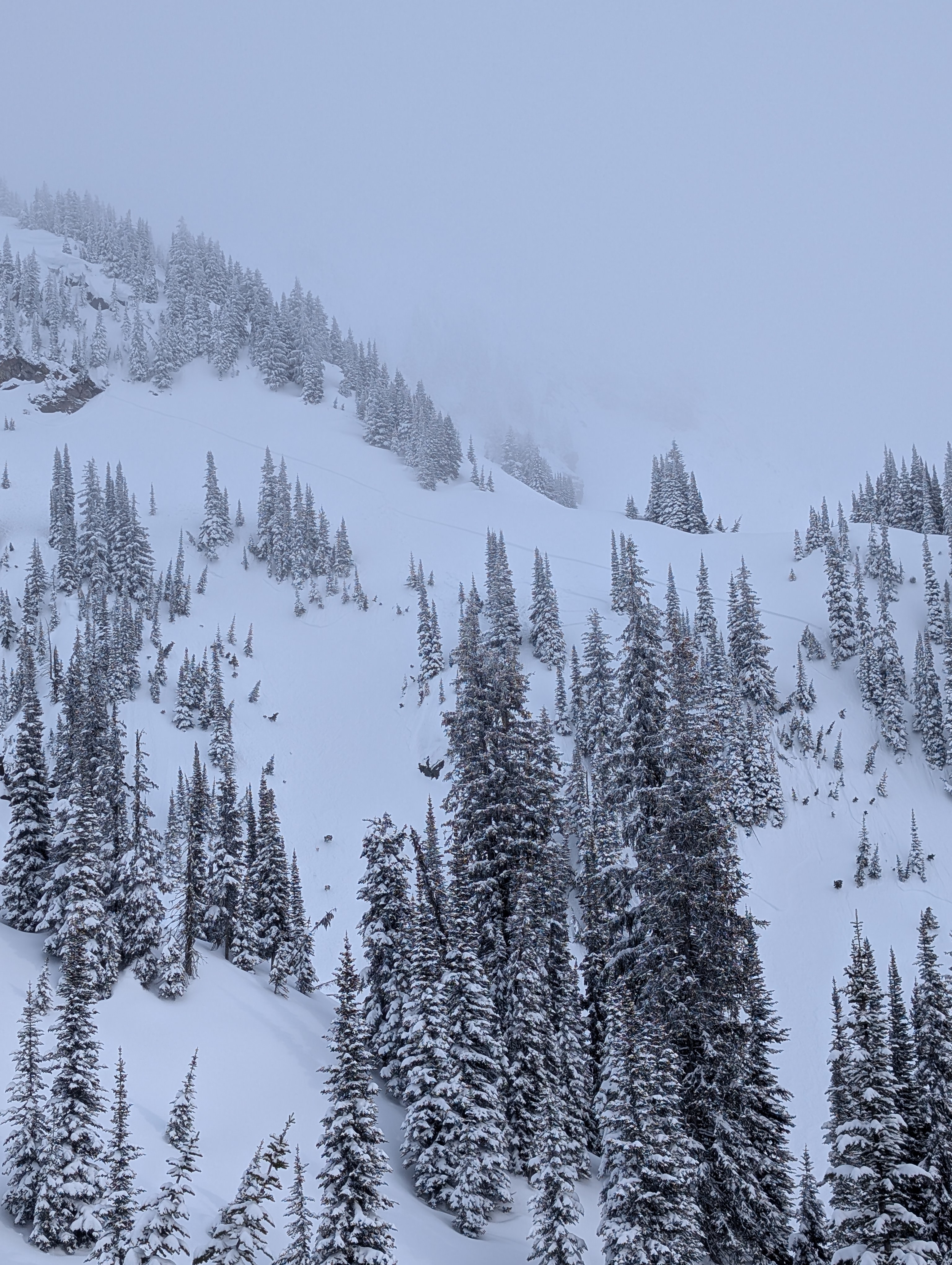
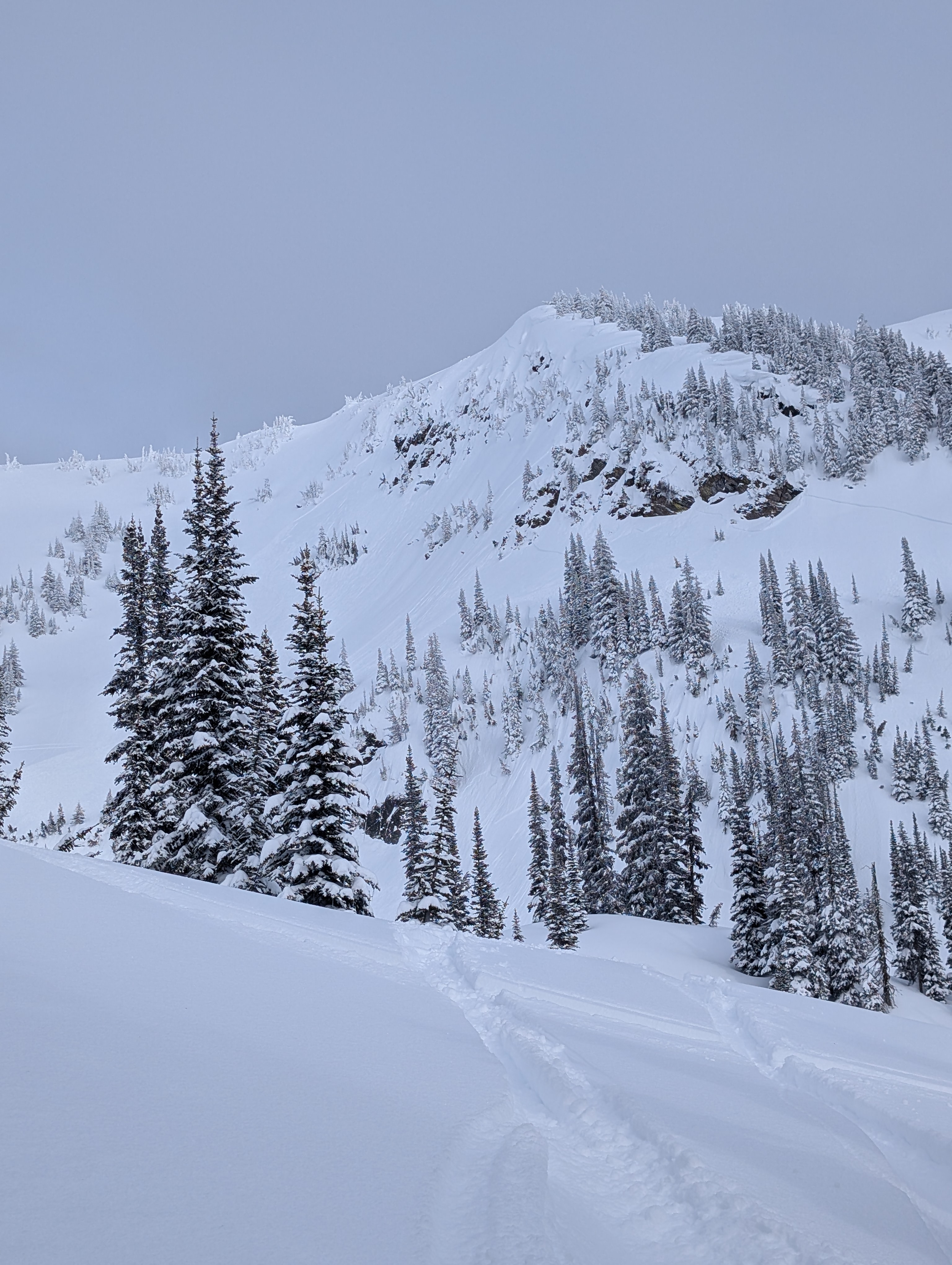
Skied a chute down the ridge of Montana peak. Ski cut the top and triggered the whole chute 30cm thick, 4F slab not breaking up quickly, which triggered the slope below on the left that propagated 80m. The debris piled up to 1m right under the chute. Avalanche did not run far and was slow moving. No involvement