- Submitted by
- jfraser
- Observations date
- Tuesday, March 24, 2026 at 14:00
- Location
- 49.968610° N 123.044990° W
- Reporting on
- Snow conditions
%2F-123.04499%2C49.96861%2C8%2C0%2C0%2F1026x200%3Faccess_token%3Dpk.eyJ1IjoiYXZhbGFuY2hlY2FuYWRhIiwiYSI6ImNqd2dvZmUxdzE4ZWg0M2tkaXpuNG95aTQifQ.pBLM87fE3sIxRJqJT7Bf7g&w=1200&q=75 "Black Tusk")
Snow conditions
- Snow conditions were:
- Crusty
- Hard
- Wind affected
Information
- The day was:
- Sunny
Comments
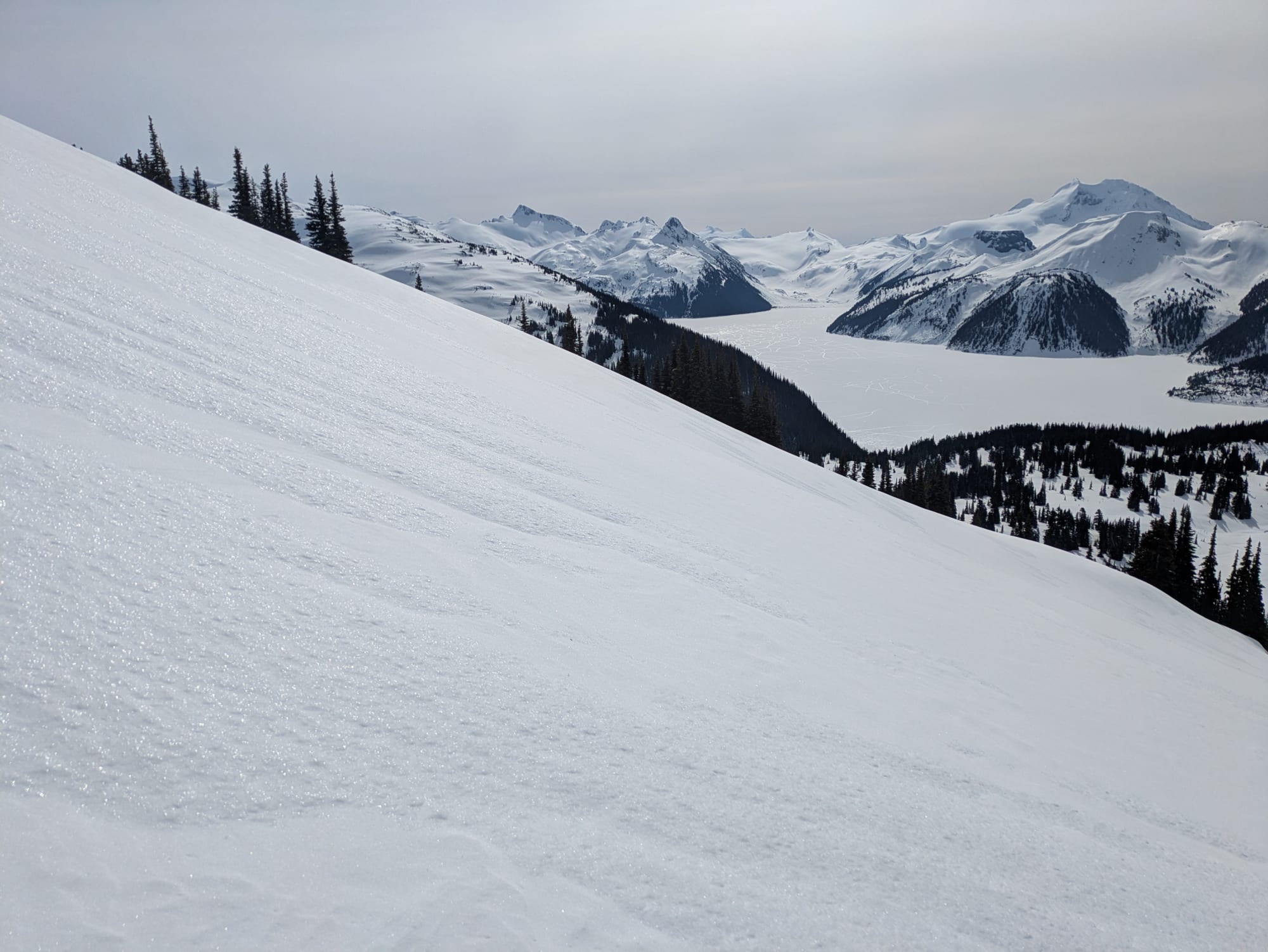
Quick recap: hiked to one of the subpeaks of the Black Tusk (listed as "Black Tusk S1" on some maps) on March 23. A very hard, icy, wind-affected crust was present throughout the treeline and alpine. No signs of instability on our route up to 2100m.
Detailed recap:
Conditions were M/L/L for the day, and weather was mostly sunny. Snow/ice started halfway up the Rubble Creek trail to Taylor Meadows campground. 3-5cm of light snow on top of a hard crust throughout the entire meadows. We could easily walk on top of the crust without breaking through.
Because of the forecast wind slab problem on all slopes except S/SW, we did not take the normal summer trail that curls around the east side of Black Tusk S1. Instead, we approached from the S/SW slope, going up the slopes between Black Tusk SW1 and Black Tusk S1. The entire ascent had a hard crust (likely owing to the rain/wind from last week). Around 1900-2000 meters and above, protected areas had more snow than ice, but still on a firm crust. For the final 50-100m ascent, we stayed well clear of the large cornices on the north side of the ridge/subpeak.
Overall, perfect conditions for hiking, and likely terrible for skiing.
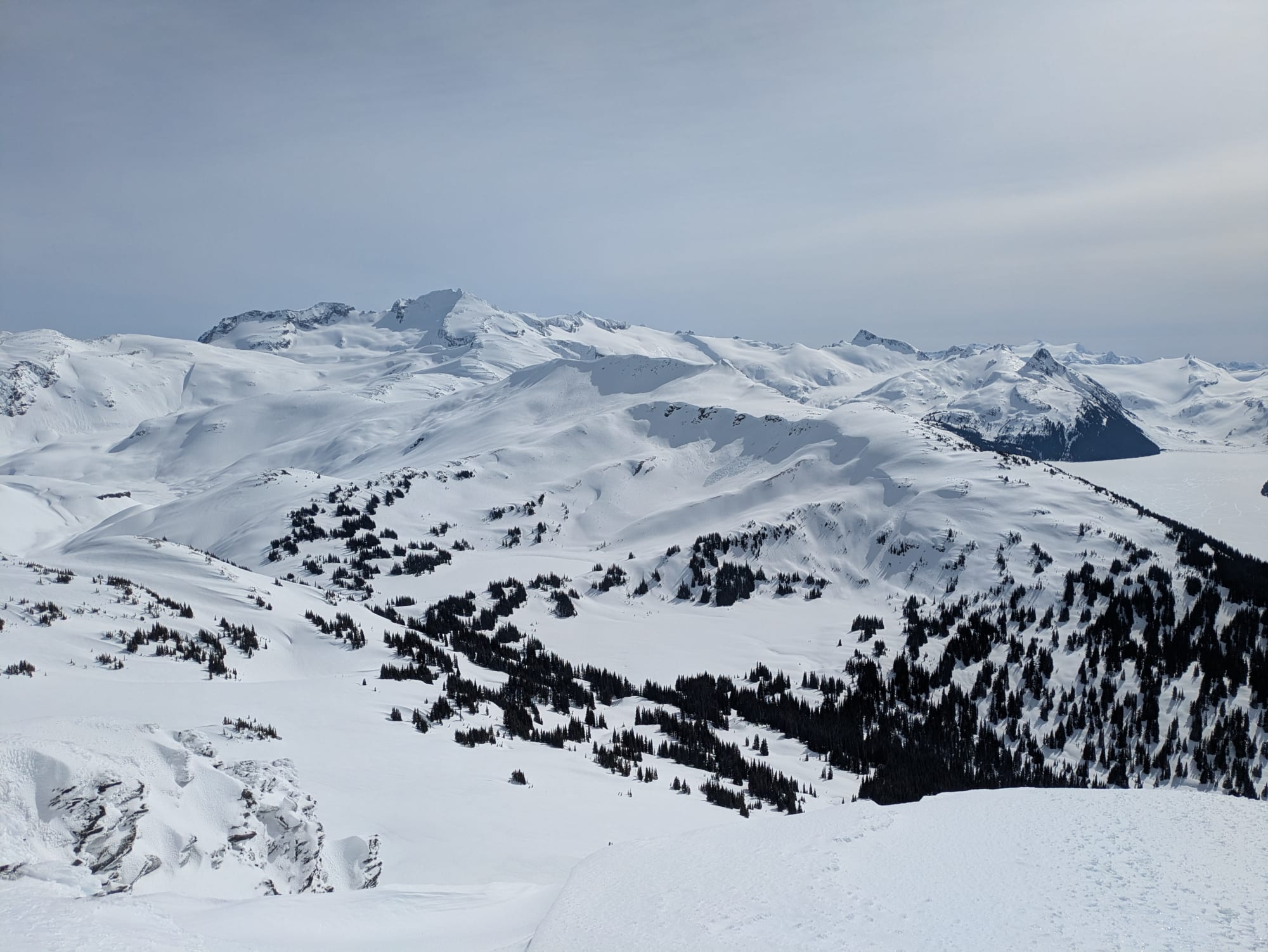
Picture 1: Panorama Ridge in the foreground; Castle Towers, The Sphinx, etc. in the background. Signs of cornice failures/avalanche activity throughout.
Picture 2: Typical snow/ice conditions we experienced on the ascent/descent. Very hard crust.
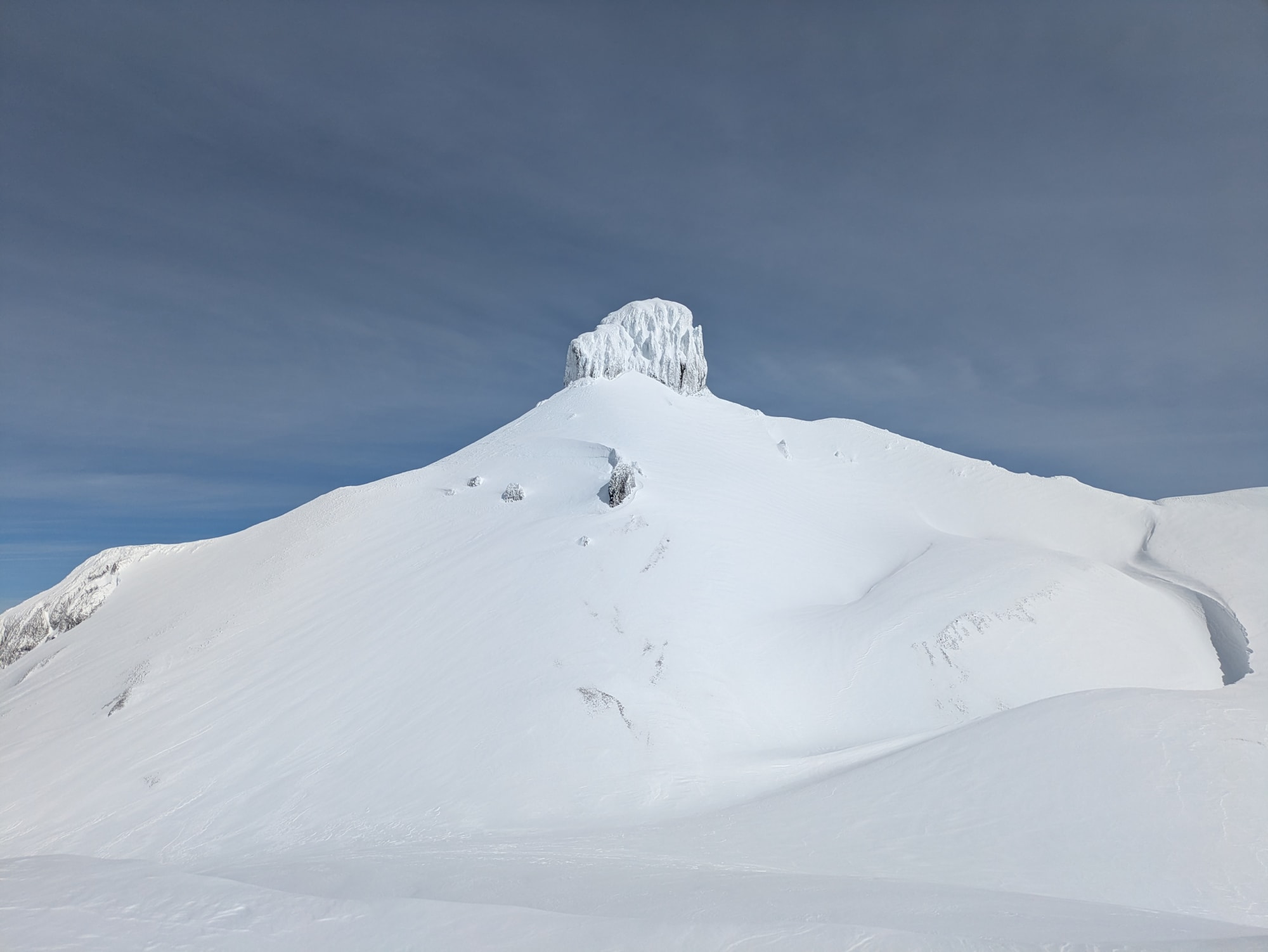
Picture 3: View of the Black Tusk from the south subpeak/Black Tusk S1 (around 2100m elevation). As expected, lots of cornices, wind-affected terrain, etc.